
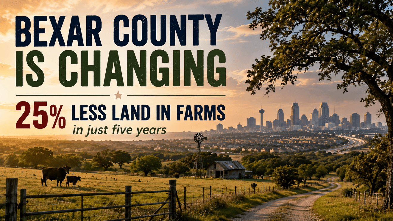
New Texas A&M research shows increasing pressure on working lands surrounding Bexar County — raising questions about development, water and the future of the region’s open spaces.
Drive north out of San Antonio and the transformation isn’t difficult to see. Places that were once ranchland are becoming subdivisions. Rural roads are carrying more traffic. Large properties are being divided into smaller ones. Head south of the city and you see the same story unfolding with the same pressures beginning to appear.
A new analysis from the Texas A&M Natural Resources Institute suggests what we’re seeing around Bexar County is part of a much larger change underway across Texas.
And San Antonio sits close to the middle of it.
The land around San Antonio is changing
Texas still has an enormous amount of working land. Farms, ranches and forests cover approximately 139 million acres — about 81 percent of the state’s land area.
That incredible footprint is shrinking.
Between 2017 and 2022, Texas converted more than 1.8 million acres of designated working lands and lost more than 17,000 farm and ranch operations, according to the Texas Land Trends program.
Researchers are now trying to identify where the pressure for additional fragmentation is greatest. What they found is eye opening.
Bexar County is part of a much bigger pattern
Texas A&M’s Fragmentation Risk Index looks at four factors:
average farm size,changes in land value per acre,the prevalence of agricultural producers age 65 or older,and projected population growth through 2060.
The result makes up an early-warning map showing where conditions are becoming increasingly favorable for large working properties to be divided into smaller parcels or converted to nonagricultural uses.
The strongest pattern follows the Texas Triangle — Dallas-Fort Worth, Austin, Houston and San Antonio. Something particularly interesting is happening right here in the San Antonio area. Several neighboring counties have moved deeper into the danger zone.
Kendall, Kerr and Gillespie counties northwest of San Antonio moved from the second-highest fragmentation category into the highest category. So did Atascosa County, immediately south of Bexar County.
That places San Antonio between two growing fragmentation pressure zones.
Why does that matter to someone living in Bexar County?
Working land does more than produce cattle or crops. Large, relatively intact landscapes also provide wildlife habitat, open space and environmental services that extend beyond the property line.
One of the most important in South Texas is water.
Texas A&M researchers specifically identify water conservation among the ecosystem services potentially affected when working lands become increasingly fragmented. That makes the issue particularly important around San Antonio.
Much of the region’s water story is connected to what happens outside the urban core — where rainfall reaches watersheds, streams, recharge areas and eventually groundwater systems.
Development doesn’t automatically mean those functions disappear. Changing thousands of acres from large working landscapes into smaller properties, roads and development changes how the landscape functions.
Importantly, it can make protecting those resources considerably more complicated.
There’s another force at work: land prices
Population growth isn’t the only thing driving fragmentation. Texas A&M found that increasing land value was actually the most consistently elevated factor in its latest analysis. Of Texas’ 254 counties, 188 received a market-value pressure score of 4 or 5. A remarkable 145 counties received the maximum score of 5.
That creates a difficult economic equation for some landowners. Ranches that have remained intact for generations are now threatened.
As surrounding land becomes increasingly valuable, selling or dividing the property can become financially attractive — particularly when ownership passes from one generation to another. Population growth, rising property values and generational turnover can converge at the same time creating fragmentation pressures.
This isn’t just about saving ranches
That’s an important distinction. San Antonio is going to grow no matter what. People need homes. Communities need businesses, roads, schools and infrastructure.
The question isn’t whether development should occur. It’s where and how it occurs.
The bigger question for Bexar County
For decades, growth around San Antonio has largely been discussed in terms of people. How many are coming? Where will they live? Where will the next highway go? How many schools will we need?
There may be another question worth asking:
What happens to the land they’re moving onto?
Because Bexar County doesn’t exist in isolation. Its future is increasingly connected to what happens in Kendall County to the north, Kerr and Gillespie counties farther into the Hill Country, and Atascosa County to the south.
The new Texas A&M map suggests the landscape surrounding San Antonio is reaching an important point.
Growth will continue.
The decisions made while that growth occurs may determine whether South Texas retains large connected working landscapes — or whether much of what surrounds San Antonio today gradually becomes something very different.
Once that land changes, changing it back may not be an option.
NEXT: How landscape change is connected to the region’s most important resource, the water supply.