
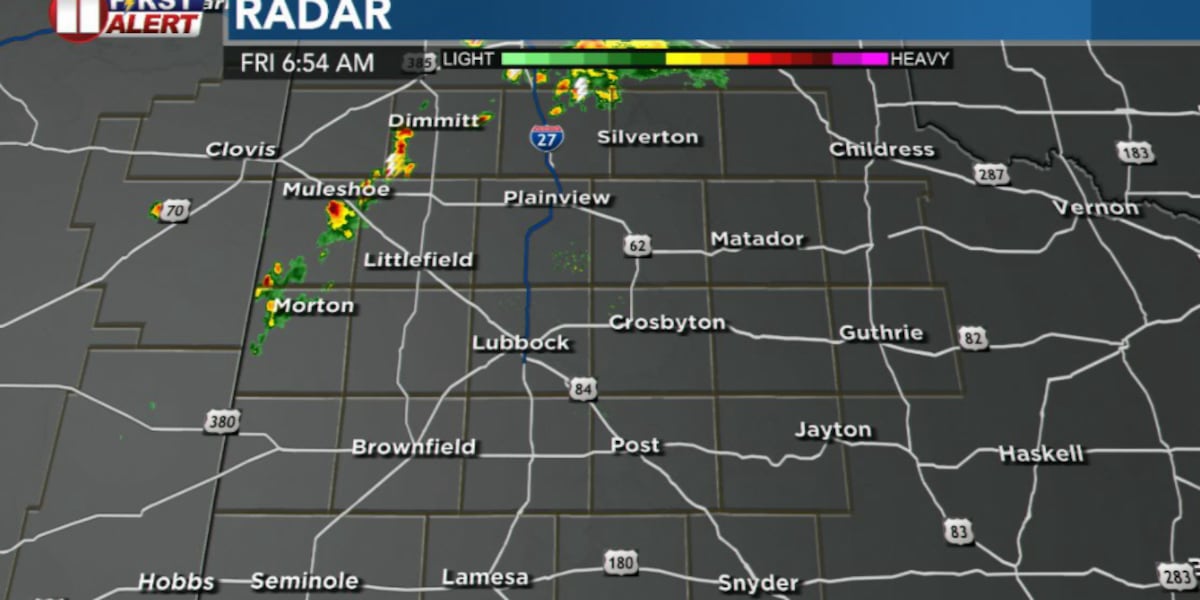
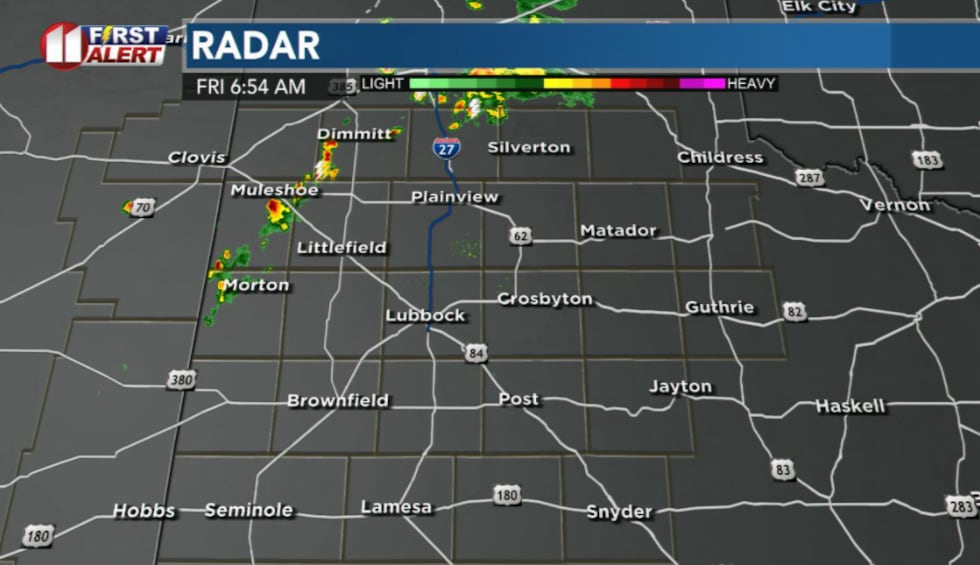
LUBBOCK, Texas (KCBD) – Scattered showers and thunderstorms pushing southward across the Panhandle and into the northwestern and northern South Plains are expected to gradually taper off over the next few hours through Friday morning, with no severe weather anticipated.
 KCBD(KCBD)
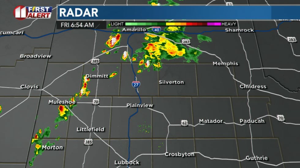
Another cluster of storms near the Amarillo area is also heading southward and should weaken as sunrise approaches.
 KCBD(KCBD)
Isolated to scattered storms expected across the Caprock region early Friday morning as lingering outflow boundaries continue to generate thunderstorm development. This activity is expected to diminish as sunrise approaches.
Early morning activity
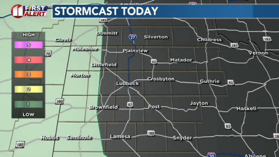
As storms track onto the Caprock, they could produce near severe winds up to 55 mph and pea-sized hail. However, steering flow patterns may keep most activity tracking off to the west near eastern New Mexico.
 KCBD(KCBD)
Little to no precipitation is expected, though a few models hint at isolated ridge-riding storms developing primarily across the west and southwestern South Plains. If these make it across the Texas/New Mexico state line, they will likely produce high-based virga showers (precipitation that evaporates before reaching the ground).
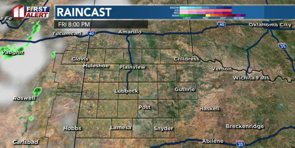 KCBD(KCBD)Heat and dry conditions return
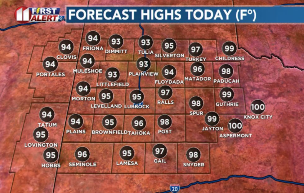
Friday afternoon will bring highs a few degrees warmer than Thursday, reaching the mid-90s to lower triple digits as an upper-level ridge moves back eastward. Easterly winds will continue at the surface, with monsoonal moisture displaced east of the area.
 KCBD(KCBD)
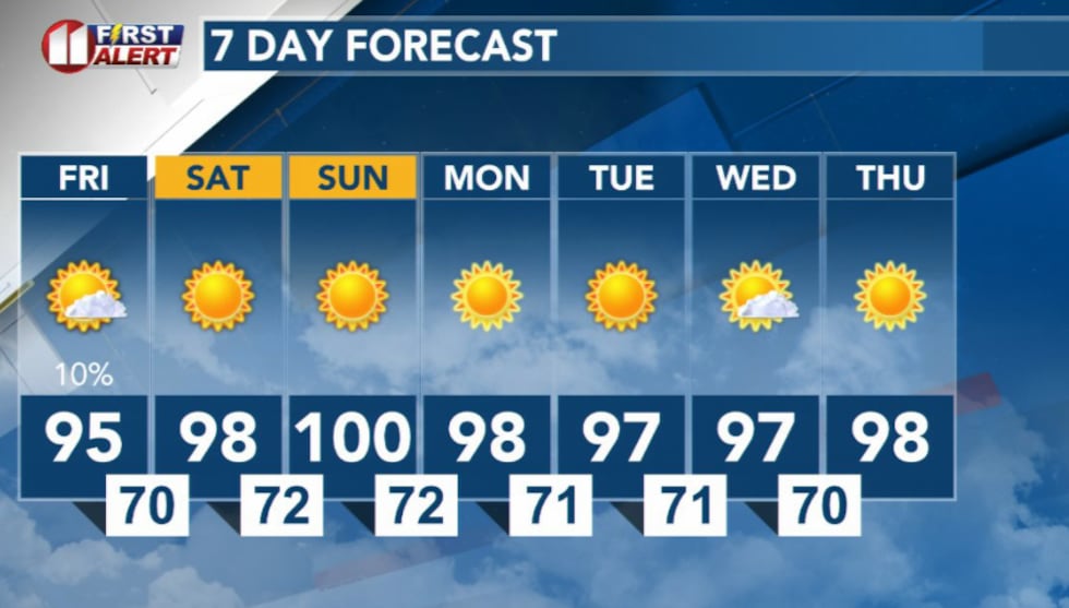
Overnight lows Friday into Saturday are expected to range from the 60s to mid-70s with light easterly winds continuing.
Hot and dry conditions expected to persist from Friday afternoon through the weekend.
 KCBD(KCBD)
Copyright 2026 KCBD. All rights reserved.