
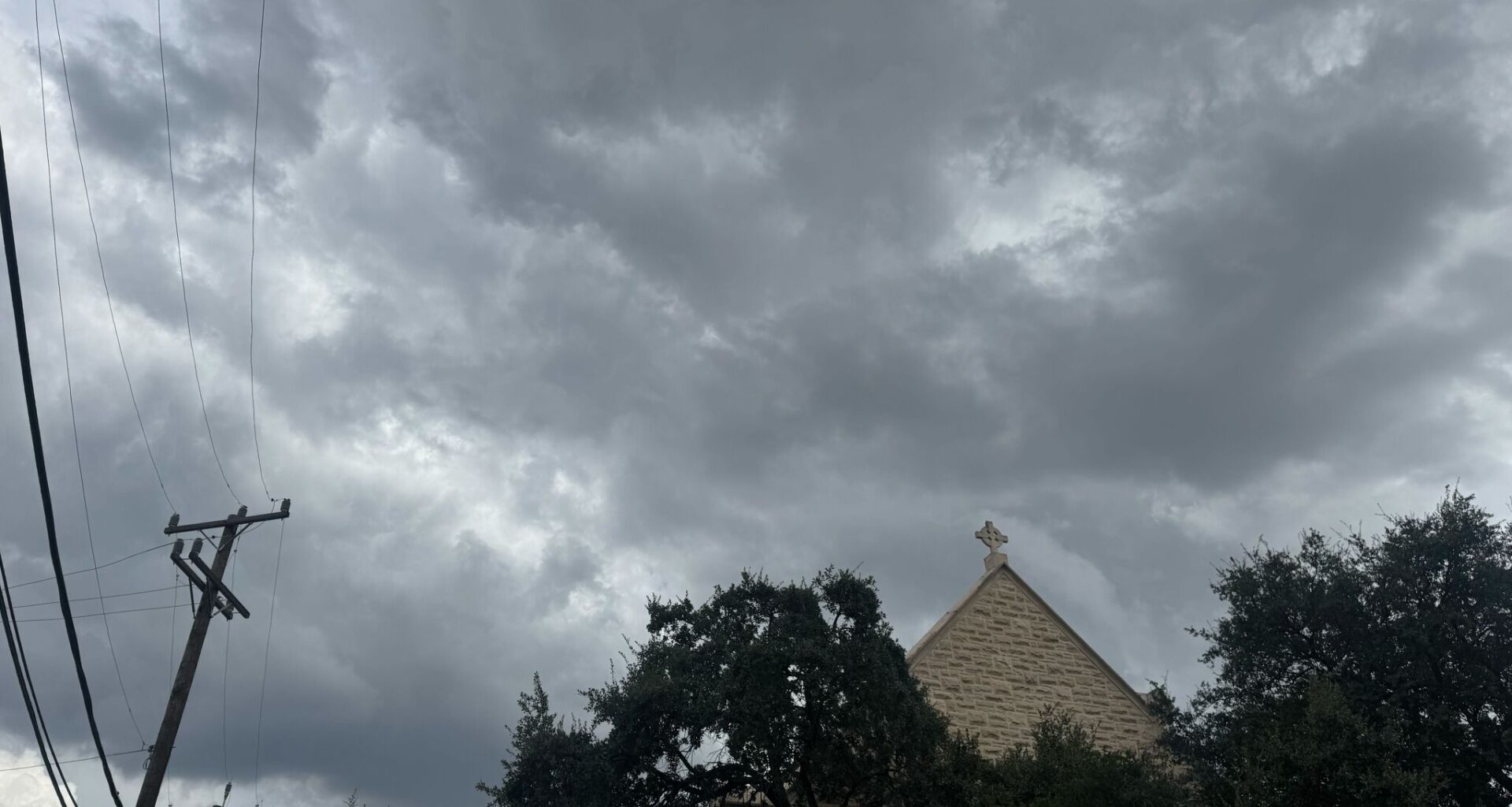
It’s been a sweaty week in South Texas. Heat advisories warning of triple-digit days seemed to have endlessly plagued the forecast. But a slow-moving cold front barreling in this week could bring a slight reprieve from scorching afternoons across South Central Texas, including San Antonio.
Rain chances creep into the forecast Thursday, August 27, as a front sweeps the Lone Star State, pushing cooler air into the heat dome that’s hung over South Central Texas cities. While it won’t exactly feel like fall just yet, cloud cover and gloomy skies should knock a few degrees off thermometers and dip the region back into the double-digit highs.
“After many not seeing rain in over a month, we finally have a chance for rain Thursday into Friday. The best chances are north of I-10 Thursday and south of I-10 on Friday. Any thunderstorms that develop could bring pockets of gusty winds and heavy downpours,” the National Weather Service Austin-San Antonio office warns.
Thunderstorm odds climb to 30% on Thursday over San Antonio and reach the 40% to 50% range by Thursday night. From there, the odds dip but linger through Friday night. There’s no threat of hail or tornadoes in this round of storms, but forecasters warn that the storm cells could produce strong winds.
This slight cooldown, coupled with much-needed rain, won’t last long, however, as the National Weather Service says heat advisories may be warranted early next week as temperature gauges spike again.