
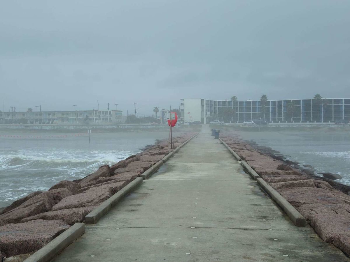
Tropical Storm Edouard continues to approach portions of the coasts in Texas and Louisiana on Tuesday, threatening to dump potentially dangerous amounts of rain across Southeast Texas.
The latest storm of hurricane season could approach hurricane strength before it reaches the coast near the Texas-Louisiana line early Tuesday afternoon, per the National Hurricane Center (NHC). Maximum sustained winds could hit 65 miles per hour, per Houston meteorologist Matt Lanza, and the system is expected to weaken through Wednesday as it moves inland through Southeast Texas.
The NHC’s forecast update at 7 a.m. Tuesday reported a Hurricane Watch in effect for the stretch of coastal land from High Island to the Vermillion/Cameron Parish line in Louisiana. A Tropical Storm Warning is now in effect for Port Bolivar through the Vermilion/Iberia Parish Line. Additional stretches of Southeast Texas will see significant rainfall, with Edouard threatening high tides and flooding throughout the region.
Where will rain hit hardest?
The NHC predicts as much as 9 inches of rain to hit the Upper Texas Coast, and 3-6 inches could fall inland through Southeast Texas. Southwest Louisiana will likely receive2-4 inches of rain. The significant rainfall will bring the greatest threat to the coast along the Texas-Louisiana line. Lanza reports those areas could see peak storm surges of up to 4 feet, and areas further west on the coast nearing Galveston could see up to 3 feet of storm surges.

Tropical Storm Edouard led to a Flood Watch in much of the greater Houston area through Wednesday. (National Weather Service Houston/Galveston)
Will Houston be spared?
Areas within Houston’s Interstate 610 loop are likely to see just over one inch of rain, per Lanza. But stretches east of I-45 could near three inches. The Baytown and Atascocita areas are both expected to receive more than 2.5 inches of rain through Friday night, and the Woodlands could be hit by more than 2 inches of rain (just under 1.5 inches of rain is expected to fall south in Galveston).
The National Weather Service issued a Flood Watch in effect through Wednesday morning for a portion of Southeast Texas, including Galveston County, Fort Bend County and Montgomery County. Flooding may occur in areas with poor drainage, and excessive runoff could result in the flooding of rivers, creaks, streams and other flood-prone locations.
More News
Legal | Texas oil tycoons drop fight over $64M Montana ranch use
| Accused Harris County HOA attacker hailed as ‘hero’
| AI mobility company plans over 300 layoffs at DFW Airport
Traveler’s Table | Lawsuit reveals Ring footage before owner’s deaths
For the latest and best from Chron, sign up for our daily newsletter here.
This article originally published at Here’s where Edouard could drench Southeast Texas with up to 9 inches.