
Status: Preliminary forensic reconstruction
Prepared: September 3, 2026
Important: The National Hurricane Center’s final Tropical Cyclone Report has not yet been issued. Track, intensity, rainfall and impact figures may be revised during post-storm analysis.
Tropical Storm Edouard never became a hurricane. Its strongest sustained winds were estimated at 60 mph, and its tropical-storm-force wind field remained relatively compact.
But that description does not capture the storm’s most consequential impact.
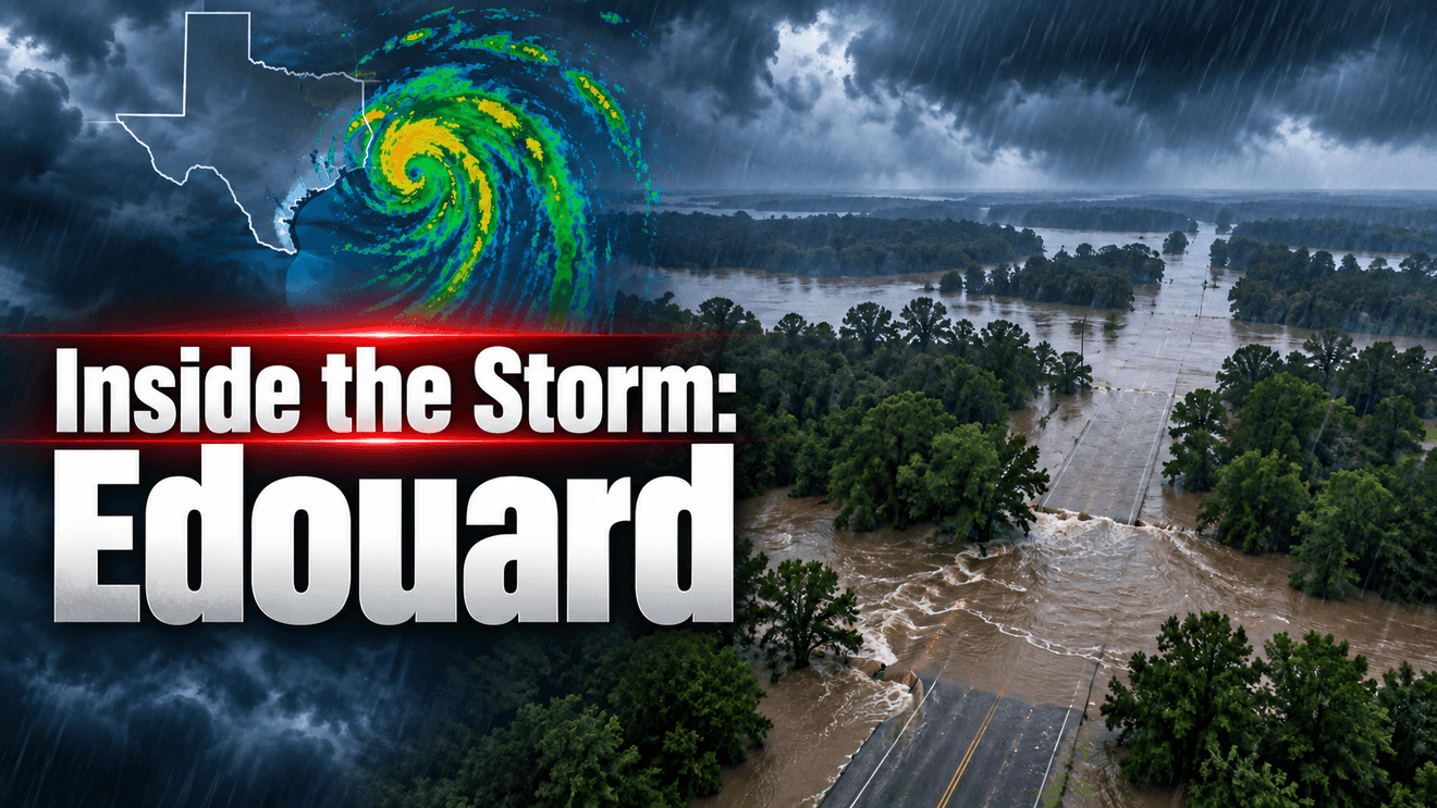
After crossing the coast, Edouard became an efficient inland rainmaker. Its slow-moving circulation continued drawing Gulf moisture into eastern Texas, where repeated bands of heavy rain trained over the same areas. Preliminary National Weather Service estimates indicated that more than 10 inches fell across much of Tyler and Hardin counties, with an estimated 18 to 20 inches near Kountze and northern Hardin County.
Edouard is an important reminder that the category—or the absence of one—does not define the entire danger posed by a tropical cyclone.
What happened?
The disturbance designated AL97 was being monitored over the northern Gulf when the National Hurricane Center initiated advisories on Potential Tropical Cyclone Five at 10 a.m. CDT Monday, August 31. At that time, satellite and scatterometer information showed only modest organization and an incompletely defined circulation. Advisories began because the system was close enough to the coast to require tropical alerts before development was certain.
Air Force Hurricane Hunter observations later found that the circulation had become sufficiently organized for classification as Tropical Depression Five. The depression strengthened into Tropical Storm Edouard while moving west-northwest across the northern Gulf.
Edouard remained small, but radar and reconnaissance indicated that it was strengthening as it approached the coast. The National Hurricane Center noted a well-defined shallow core on infrared satellite imagery and later tracked the center with Lake Charles radar.
The storm made landfall near Johnson Bayou in southwestern Cameron Parish, Louisiana, at approximately 2:20 p.m. CDT Tuesday, September 1. Maximum sustained winds were estimated at 60 mph. A nearby observing site reported a gust of 71 mph, while Port Arthur recorded a sustained wind of 40 mph and a gust of 49 mph.
Edouard weakened after landfall, but its circulation remained organized on radar as it moved inland across southeastern Texas. The wind threat diminished. The flood threat did not.
The forensic timeline
10 a.m. CDT Aug. 31
NHC begins advisories on Potential Tropical Cyclone FiveCoastal alerts could be issued before a closed circulation was fully established.
Afternoon Aug. 31
Reconnaissance supports classification as Tropical Depression FiveThe low-level circulation had become sufficiently defined.
Evening Aug. 31–early Sep. 1
The system becomes Tropical Storm EdouardOrganization improved over the northern Gulf despite limited time over water.
Morning Sep. 1
Radar shows a small but strengthening coreEdouard was intensifying during its final approach to the coast.
2:20 p.m. CDT Sep. 1
Landfall near Johnson Bayou, LouisianaEstimated sustained winds were 60 mph; a nearby gust reached 71 mph.
Evening Sep. 1
Edouard weakens over landThe wind hazard decreases, but persistent Gulf inflow sustains heavy rain.
Sep. 2–early Sep. 3
Repeated rainbands affect eastern TexasTraining convection produces catastrophic flash flooding in parts of the Big Thicket and Piney Woods.Why did Edouard develop so quickly?
Edouard formed close to land, leaving little time between organization and impact. The northern Gulf supplied warm water and abundant moisture, while the developing circulation was compact enough to consolidate comparatively quickly.
This was not explosive intensification into a major hurricane. It was a short-fuse development problem: a previously disorganized disturbance acquired a closed circulation, became a named storm and strengthened almost until landfall within a narrow operational window.
That distinction matters. Gulf systems do not need several days over open water to create meaningful hazards. When development occurs near the coast, warning decisions, preparation and public understanding must happen while the storm is still evolving.
Why was the flooding much larger than the wind footprint?
Wind intensity describes conditions near the cyclone’s core. Rainfall depends on a broader set of factors: moisture supply, forward speed, band orientation, atmospheric lift and how often storms pass over the same location.
Edouard’s compact circulation limited the area experiencing its strongest winds. After landfall, however, the circulation continued feeding deep tropical moisture into eastern Texas. Rainbands aligned and repeatedly moved across portions of the Big Thicket and Piney Woods—a process known as training.
The National Weather Service in Houston initially reported radar-estimated totals of 2 to 6 inches across eastern portions of its forecast area, with additional bands expected. The Weather Prediction Center later placed parts of southeastern Texas in a High Risk—level 4 of 4—for excessive rainfall. The National Weather Service in Lake Charles subsequently described catastrophic flooding and estimated widespread totals above 10 inches in Tyler and Hardin counties, including an 18-to-20-inch bullseye near Kountze.
The storm’s center was weakening. Its rainfall machinery was still working.
What did the forecast get right?
The preliminary record shows several important successes:
NHC used the Potential Tropical Cyclone designation to begin advisories before the circulation fully qualified as a tropical cyclone.Tropical storm, storm surge and hurricane-related alerts were issued while Edouard was still organizing.NHC discussions explicitly identified the possibility of additional strengthening before landfall.Rainfall and flash flooding were consistently presented as major hazards.WPC escalated the excessive-rainfall outlook as the inland training signal and observed rainfall became clearer.
A final forecast evaluation should wait for the NHC report and a complete archive of forecast positions, intensity errors, warning lead times and verified rainfall. The evidence currently available does not support an accusation that forecasters missed the storm. It supports a more useful conclusion: the hazard changed faster than a single wind label could communicate.
Why did San Antonio avoid the primary impacts?
Edouard’s small circulation and track kept its core near the upper Texas and southwestern Louisiana coast before carrying it into eastern Texas. The most persistent moisture convergence and rainband training developed well east of South-Central Texas.
San Antonio was outside both the compact wind core and the primary inland moisture corridor. That was a matter of track, storm size and band placement—not evidence that the system lacked moisture or inland flood potential.
What can we learn?
A tropical storm’s category is not a complete risk assessment
Edouard’s peak winds remained below hurricane strength, yet its remnants produced a top-tier excessive-rainfall threat. Wind classification and local consequences are different measurements.
2. Gulf storms can have very short preparation windows
Edouard evolved from a loosely organized disturbance to a strengthening tropical storm near land. Coastal residents may not receive the long lead time associated with storms crossing the tropical Atlantic.
3. Landfall does not end the emergency
The most dangerous flooding developed after the center crossed the coast and winds began weakening. Inland communities must continue following warnings even after a cyclone loses its name or classification.
4. The center line does not define the rainfall threat
The heaviest rain can occur away from the center, especially where feeder bands train over the same watershed. Rainfall forecasts and flash-flood warnings deserve as much attention as the cone.
5. Communication must follow the dominant hazard
Before landfall, the story included wind, surge and strengthening. After landfall, the story needed to pivot decisively to rainfall rate, accumulated totals, roads, creeks and life-safety decisions.
The bottom line
Edouard was a small tropical storm with a short life as a named cyclone, but its consequences expanded after its wind threat began to fade. It organized close to the Gulf Coast, strengthened into landfall and then used its lingering circulation to focus repeated tropical rainfall over eastern Texas.
The lesson is not that Edouard was secretly a stronger storm than reported. The lesson is that wind speed never told the whole story.
For residents of Texas and the Gulf Coast, the most important question is not simply, “What category is it?” It is, “What hazard will this storm place over my community—and how long will it remain there?”