
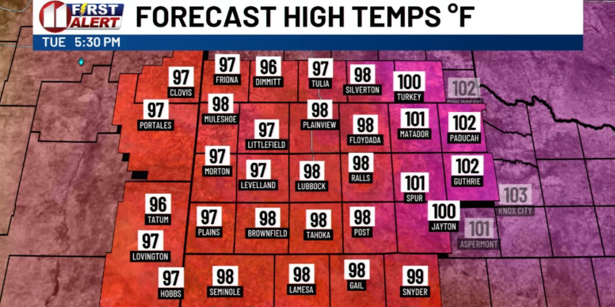
LUBBOCK, Texas (KCBD) – The day or two will bring a brief but noticeable shake-up to our late summer weather pattern across the South Plains. We are tracking a hot and potentially record-setting Wednesday, followed by a slight dip in our afternoon temperatures and a short-lived chance for isolated to scattered showers and storms Thursday.
By the weekend, however, the late-summer heat will build right back in before a more promising cool-down and better rain chances arrive next week.
Tonight and Tomorrow
Weather tonight will be warm but quiet across the area. Overnight lows will be similar to recent mornings, so five to ten degrees above the average for early September. The southerly wind will remain light, generally in a 5 to 15 mph range.
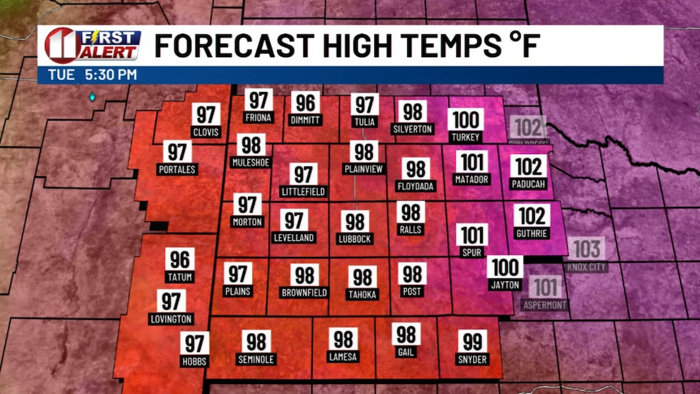 Near record high temperatures expected Wednesday afternoon.(KCBD First Alert)
Wednesday will start off sunny and heat up quickly. I expect highs to inch just above today’s peak temperatures. That is, right around ten degrees above average. Lubbock’s September 9 record high is 99°, set in 1984. Childress too is eyeing a potential record high, which is 102°, set back in 1945.
Winds generally will be southerly, again ranging from around 5 to 15 mph with an occasional gust to around 20 mph.
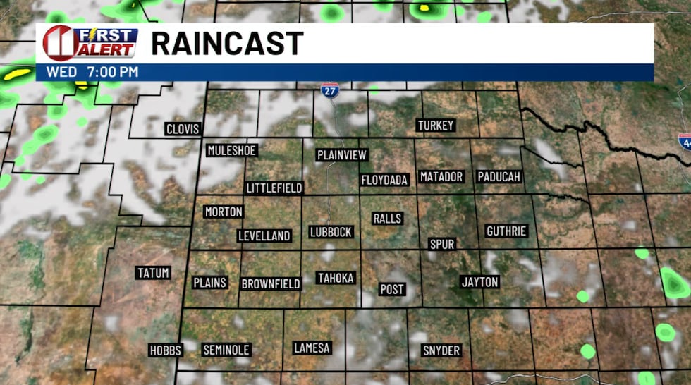 Model Outlook for 7 PM Wednesday(KCBD First Alert)
By Wednesday evening a weak cold front will begin pushing south into the northern KCBD/FOX34 viewing area. As this boundary meets up with a more humid air mass, isolated showers and thunderstorms are likely to develop.
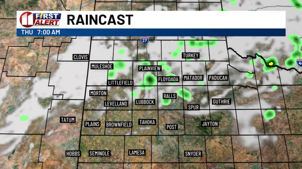 Model Outlook for 7 AM Thursday(KCBD First Alert)
While we are not expecting severe weather, any storm that manages to pop up could produce brief heavy rain and gusty winds.
Thursday Changes
The front will continue to slide south through Thursday, bringing us more cloud cover and a better opportunity for rain.
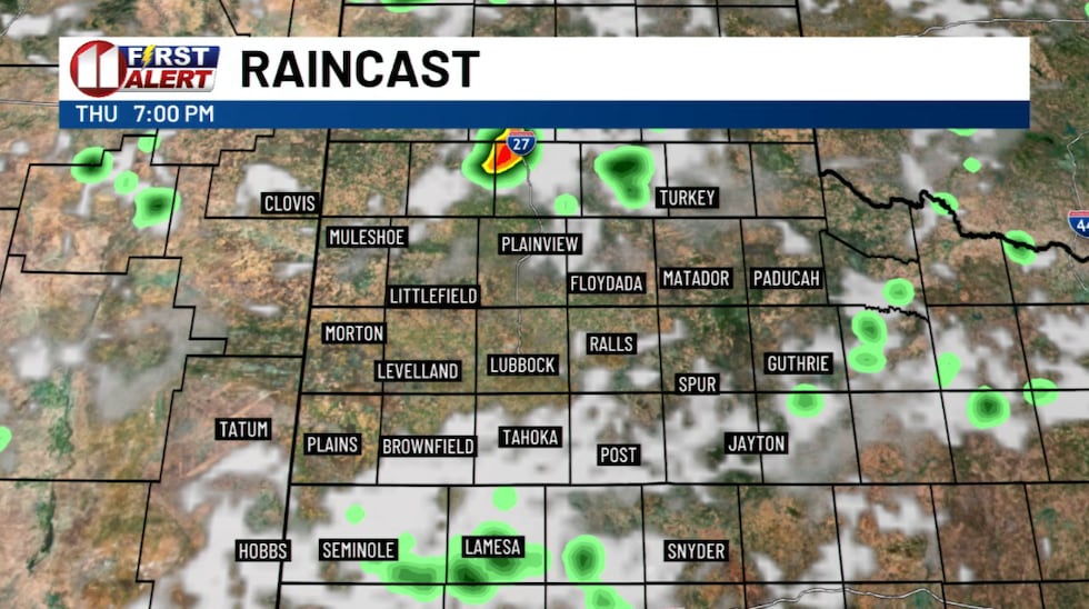 Model Outlook for 7 PM Thursday(KCBD First Alert)
With the clouds and scattered showers around, afternoon highs should ease back into the lower to mid-90s for much of the Caprock. Those of you in the Rolling Plains, however, will likely see highs in the mid- to upper 90s.
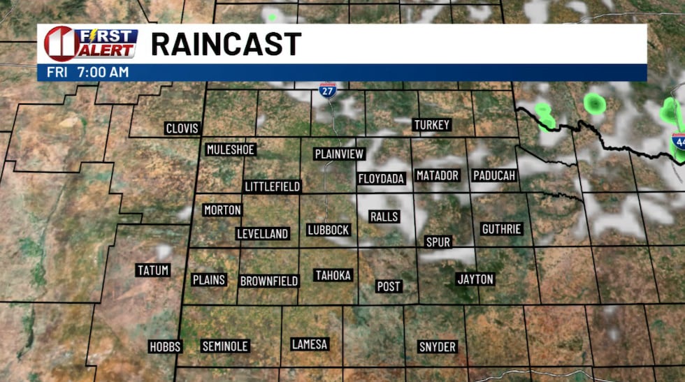 Model Outlook for 7 AM Friday(KCBD First Alert)
Looking Ahead
Unfortunately, this break will be brief. High pressure will build back over the Desert Southwest this weekend, pushing our daytime highs back into the upper 90s and lower triple digits.
Fortunately, we are tracking what may become more significant changes for early next week. A stronger weather pattern is shaping up which would bring nearly daily chances of rain and somewhat cooler – read, not as hot – air to West Texas. Highs by next Tuesday may be in the 80s for some spots on the Caprock, which would be a very welcome change.
If you’re so inclined, keep an umbrella close by for Wednesday night and Thursday. We will keep you updated on the changes as new data becomes available.
Copyright 2026 KCBD. All rights reserved.