
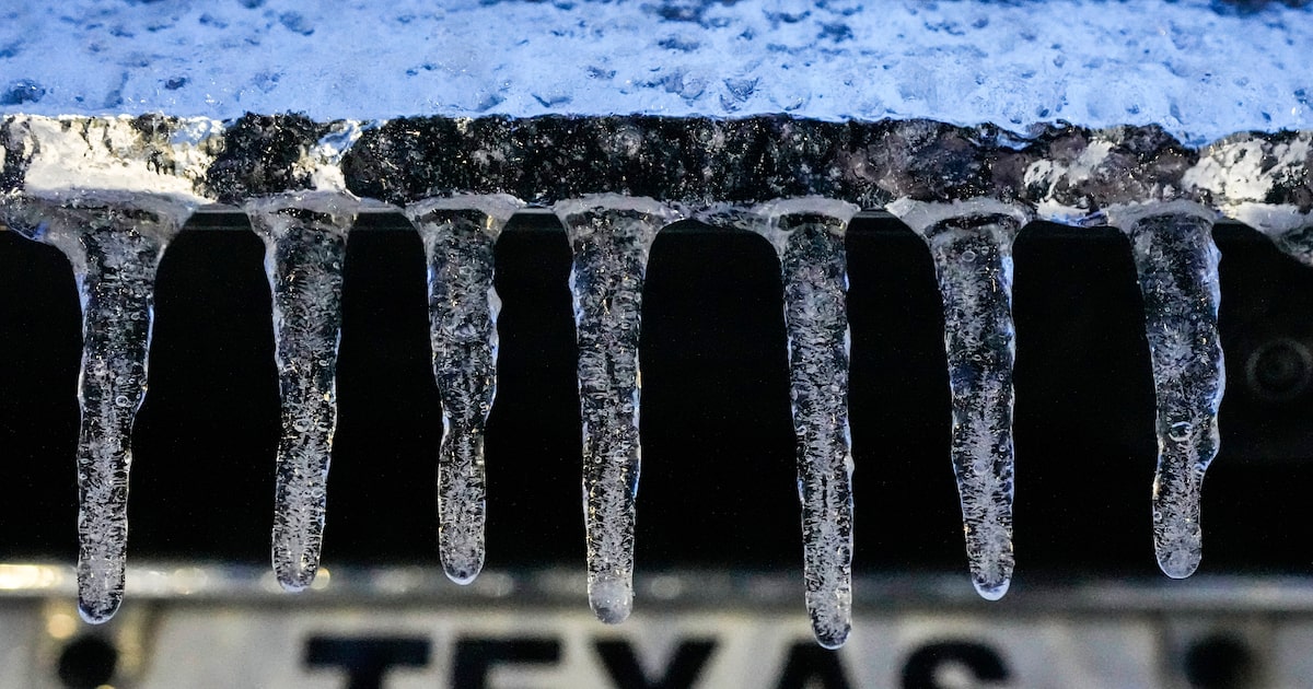
Some of the coldest air of the season arrived in North Texas Monday, but forecasters say the chilly weather won’t stick around for long.
Over 30 counties, including Dallas, Collin, Hunt, Tarrant, Parker and Palo Pinto, were included in the warning that began Sunday night and is still in place through 9 a.m. today, according to a freeze warning issued by the National Weather Service.
Overnight temperatures plunged to the upper 20s and lower 30s, bringing “the coldest morning of the season so far,” according to the weather service.
No precipitation from the system was expected.
D-FW Weather Wise
The Texas Department of Transportation said the dry conditions alleviated the need for their crews to pre-treat area roadways.
“We will continue to monitor forecasts,” the department said.
Although cold conditions will blanket the area on Monday, it will be sunny with temperatures set to top out in the mid-50s before dropping to 41 overnight into Tuesday.
The cold spell will be fairly brief with a warmup expected as early as Tuesday, thanks to southerly winds that will raise temperatures to more seasonable conditions.
Most of the work week is expected to be dry, but showers are likely for the weekend, when there is a 30% chance of precipitation on Saturday.
The latest Dallas weather forecast from KXAS-TV (NBC5):
MONDAY: Areas of frost in the morning, then sunny and cool. High: 56. Wind: E 5-10 mph.
TUESDAY (VETERANS DAY): Sunny, breezy and warmer. Low: 42. High: 71. Wind: S 15-25 mph with higher gusts.
WEDNESDAY: Sunny and mild. Low: 53. High: 77. Wind: S 5-10 mph.
THURSDAY: Mostly sunny and mild. Low: 57. High: 81. Wind: S 10-15 mph.
FRIDAY: Sun, clouds and warm. Low: 62. High: 82. Wind: S 10-15 mph.