
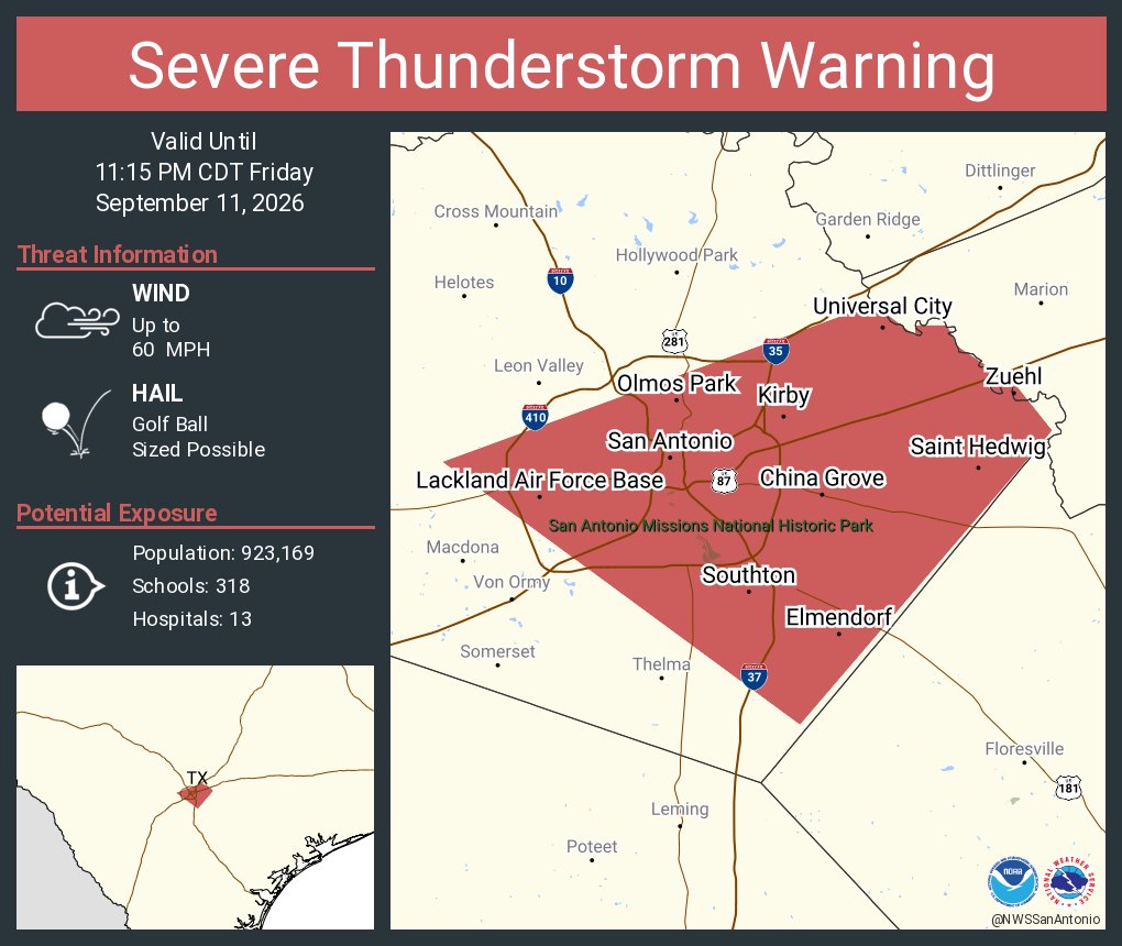
10:55 p.m.: The severe thunderstorm has weakened considerably, and the National Weather Service has cancelled the severe thunderstorm warning early. The storm in eastern Bexar County is no longer capable of large hail or damaging wind gusts, but brief heavy rain is still possible.
According to the weather service, trained storm spotters reported hail up to 1.5 inches in diameter between Converse and Kirby on the East Side just before 10:30 p.m. Friday night.
The storm has also resulted in power outages across parts of eastern Bexar County. According to the CPS Energy outage map, more than 1,900 customers were without power as of 10:55 p.m. Friday night.
Below is previous information about the severe thunderstorm warning
10:15 p.m.: A severe thunderstorm warning has been issued for parts of the San Antonio metro area, the National Weather Service announced late Friday.
Central and eastern parts of the metro area are included in the warning, including downtown San Antonio, Alamo Heights, Kirby, China Grove, Converse, Lone Oak, and St. Hedwig. A storm is located over the area, and it is capable of producing golf-ball sized hail and damaging winds of up to 60 mph.
“At 10:25 PM CDT, a severe thunderstorm was located near China Grove, or 7 miles northeast of Stinson Municipal Airport, moving southwest at 15 mph.” The National Weather Service said.
The severe thunderstorm warning will stay in effect through 11:15 p.m. Friday night. If you are located within the severe storm warning, take shelter immediately. Large hail and strong winds could damage roofs, siding, windows, and vehicles. Isolated flash flooding is also possible. Travel is highly discouraged in this area.