
Confidence in a super El Niño event rivaling records has skyrocketed over the past few months. Now, it’s all but guaranteed to have a massive impact on the fall and winter seasons across Texas, even impacting rainfall and flooding chances well into spring of 2027. But what should Texans prepare for?
In the most broad sense, residents across the Lone Star State should brace for a particularly gloomy, chilly and wet end of 2026 and start of 2027. During strong El Niño events – of which there aren’t many on record – rain chances spiked, along with severe weather reports, and there were more chilly days recorded due to increased cloud coverage.
“El Niño conditions are forecast – and likely very strong El Niño – for the fall moving into the early winter months. It typically results in cooler and wetter than normal conditions through early spring,” Mack Morris, a meteorologist with the National Weather Service Austin-San Antonio office, said during a fall outlook.
The odds of a super El Niño event (at least the strongest since 1950 if not the in the past 140 years) is all but guaranteed. The latest figures out of the Climate Prediction Center show more than 90% chance of a very strong event developing between October and November.
In general, El Niño years are wetter in Texas. But the strength of the phenomenon this year could exceed prior years by a long shot. On average, an El Niño means roughly 29% to 49% more rainfall than average in Texas between September and November. But as confidence grows in just how warm ocean waters will get, models are now showing some parts of Texas could see up to double their typical rain amounts.
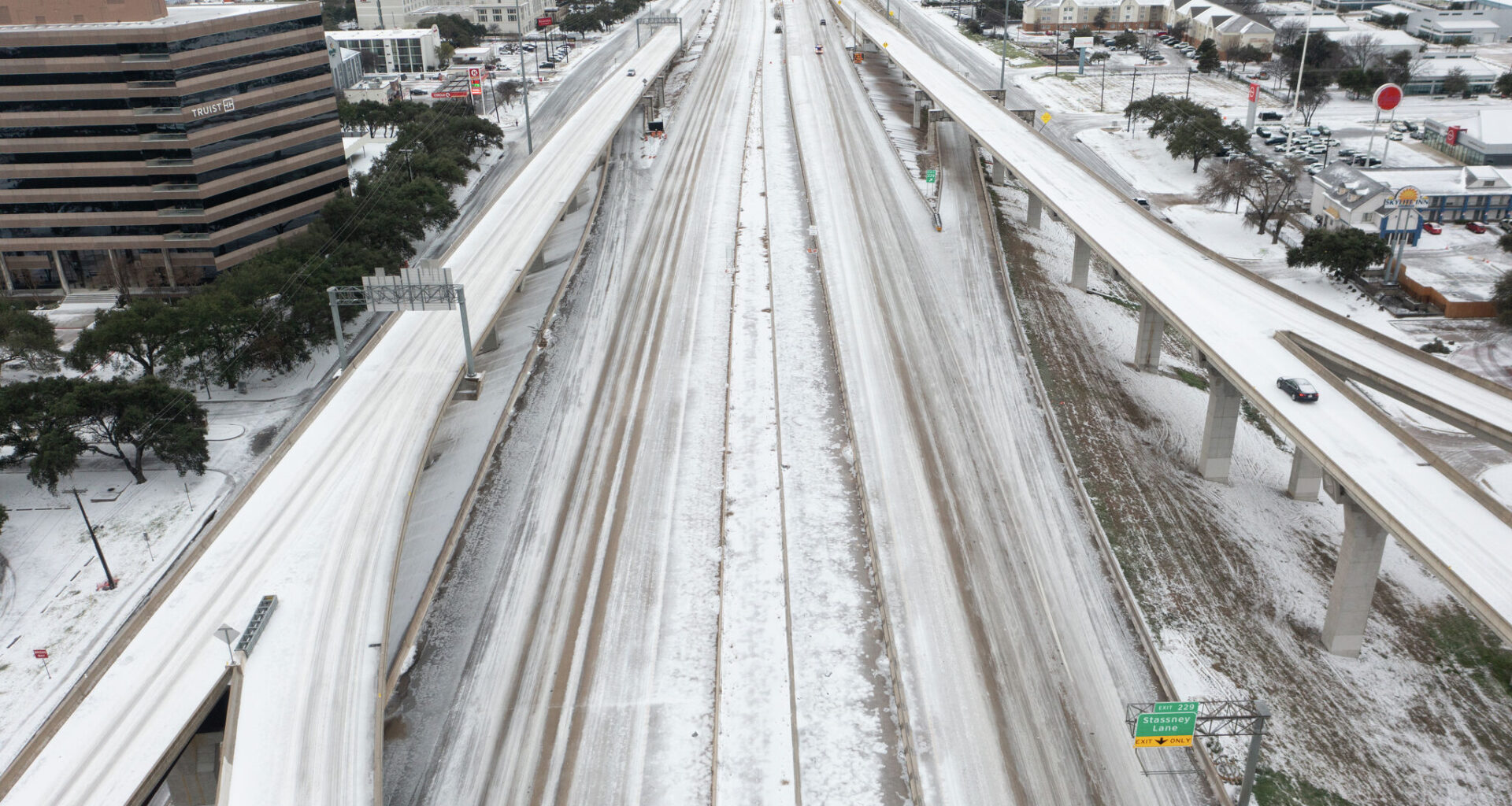
With more rain during the coldest seasons of the year, atypical snow storms also spike. Forecasters have tracked the data for decades and found areas prone to snow, typically the northern half of Texas, tend to see more of it.
“It seems clear from the data that an increase in snowfall across West Central Texas seems to be one of the numerous results of El Niño,” Patrick A. McCullough wrote for the National Weather Service office in San Angelo, noting average winters tend to bring about 3.8 inches of snow to Abilene. “The seasonal snowfall average during an El Niño nearly doubled to 7.4 inches.”
And with El Niño winters dipping the average temperature in Texas by as much as 5 degrees, it’s easy to see how increased precipitation rates could easily turn into sleet or snow in areas further south.
AccuWeather Meteorologist Peyton Simmers told MySA that significant snow odds with a strong El Niño really depend on whether cold air can make its way far enough south. With the low pressure system created by an El Niño, moisture will be drawn into Texas. And while it often means rainy days, a strong enough arctic blast capable of breaking the line over Texas could produce snowy days.
Plus, Morris says severe storm reports spike in El Niño years when compared to La Niña or neutral years. That includes hail reports and flash flooding risks due to excessive rainfall over land already drenched from unusually fall and winter seasons.
“Additional heavy rains could exacerbate flooding within basins that are less drought-stricken,” Morris said. “We’ve seen how quickly things can turn on a dime around here, and I wouldn’t expect anything less.”