
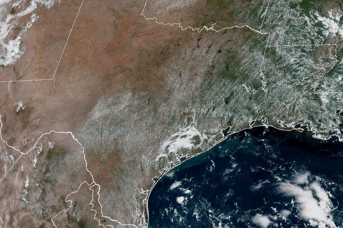
South Texas can expect more humid mornings and unusually hot afternoons for the next several days, according to the National Weather Service. Although the hope for milder temperatures and a shot at some rain emerges later this week, don’t count on any major shifts in the weather pattern just yet. Here’s what forecasters say we can expect:
Tuesday forecast
San Antonio on Tuesday is shaping up to be mostly cloudy through mid-morning before skies gradually clear. Brace for another day of triple-digit heat with temperatures hitting 100 degrees while humidity makes that heat feel more like 106. South-southeast winds of 5 to 10 mph, including gusts as strong as as 20 mph, will continue to deliver moisture-rich air into South Texas, forecasters said.
In the evening, under mostly clear skies, temperatures overnight through dawn Wednesday will bottom out around 76, as gusty southeast winds persist.
An upper-level ridge of high atmospheric pressure continues to exert heavy influence on Texas weather, despite a shift toward to southeastern United States. The weather service had issued a heat advisory Monday for Texas counties along and east of Interstate 35, warning the public from San Antonio to Houston of a higher risk for heat-related illnesses because of excessive humidity and extreme heat.
“Heat index values will be elevated (Tuesday) with additional heat advisories potentially being issued again for areas along and east of the I-35 corridor,” the weather service said in a forecast bulletin posted Monday.

Humidity-driven heat index values will exceed 100 degrees in San Antonio and across the Interstate 35 corridor by 4 p.m. Tuesday. (National Blend of Models/Pivotal Weather)
Wednesday forecast and beyond
San Antonio on Wednesday should be mostly sunny, with afternoon temperatures staying in the double digits but peaking as high as 98 degrees, forecasters said. Southeast winds at 5 to 10 mph will help sustain humidity levels, so nighttime skies could become cloudier. Meanwhile, temperatures overnight should stay above 77 degrees.
“The upper-level ridge dominates the local area weather promoting hot and humid conditions,” the weather service said. “(An) additional heat advisory may be needed for Wednesday, Thursday, and even Friday.”
Although Thursday in San Antonio comes with a 30% chance of afternoon rain, skies will remain partly sunny. We could see daytime temperatures top out at 95. That’s still a few degrees hotter than normal for mid-September, but closer to average than we’ve been lately. Gusty winds will shift to become more easterly as Thursday night skies become overcast. Overnight temps will likely stay above 75 degrees.
Meanwhile, Friday has a 20% rain chance in the morning before skies turn mostly sunny. Temperatures should max out in the mid-90s, according to forecasters, accompanied by east-southeast winds.
“Any shower or thunderstorm activity should be across the Coastal Plains,” the weather service said. “For next weekend, an upper-level disturbance moving westward across the Gulf states and an upper-level disturbance coming down across the Southern Plains could bring beneficial rains for some parts of South-Central Texas.”
Subscribe
There’s more to San Antonio with the Express-News. Subscribe today for just 25¢.
This article originally published at After Tuesday, San Antonio could get some days off from 100-degree temperatures.