
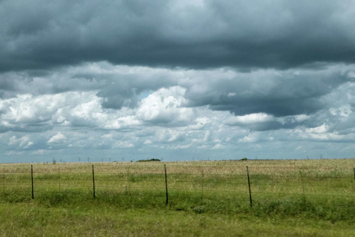
A weekend cold front barreling toward Texas, coupled with some coastal systems, is casting a gloomy shadow over the forecast for many major metros across the state over the next week. While some towns will see the first major cooldown of the fall, a persistent heat dome has kept South Central Texas towns from cooling – an update to the forecast that has locals peeved.
This video created with the assistance of AI.

A cold front sweeping across the Texas-Oklahoma border this weekend will plummet afternoon highs from the upper-80s and low-90s into the 70s by Monday, September 21. But cooler days will come with more storm threats.
“Much like the activity last night, these chances will heavily rely on when and how far south the front [will] actually push, which means that present chance of showers can rapidly change over the next 24 hours,” the National Weather Service Amarillo office warns. “Regardless, present agreement has started[ed] to favor more active outlook for next week…”
Thunderstorm chances in that area hover between 20% and 50% from Friday night through at least Tuesday, climbing slowly as the next workweek progresses.
For those further south in the Lone Star State, hopes of a cooldown from this front have essentially been dashed. News 4 San Antonio Chief Meteorologist Chris Suchan sounded the alarm about this burst of arctic air earlier this week, hoping it would have an impact as far south as San Antonio.
That doesn’t seem to be the case anymore, as a heat dome refuses to move back east, preventing cooler air from moving in. Suchan – alongside CBS Austin meteorologist Avery Tomasco – have flipped their scripts on the cold front’s impact.
For most cities southeast of the Texas Panhandle, the heat wave wages on. And people have big feelings about it,
“Dang it! I ordered a wet norther and now my order’s been delayed? Where’s my receipt? Maybe I can get one at Costco,” Clint Younts quipped in response to the heartbreaking update on Tomsaco’s Facebook profile.
But the Panhandle won’t be the only place affected. North Texas towns, along with the greater Dallas-Fort Worth metro area, see storm odds spike at the start of the workweek and a slight dip in temperatures to the low-90s (a welcome reprieve from otherwise triple-digit days and heat advisories).
It’s a similar story for San Antonio, where afternoon highs are expected to dip by a degree or two. But that’s mostly due to cloud cover as storms creep into the forecast early next week.
This article originally published at Cold front barreling toward Texas threatens storms across state. Here’s where.