
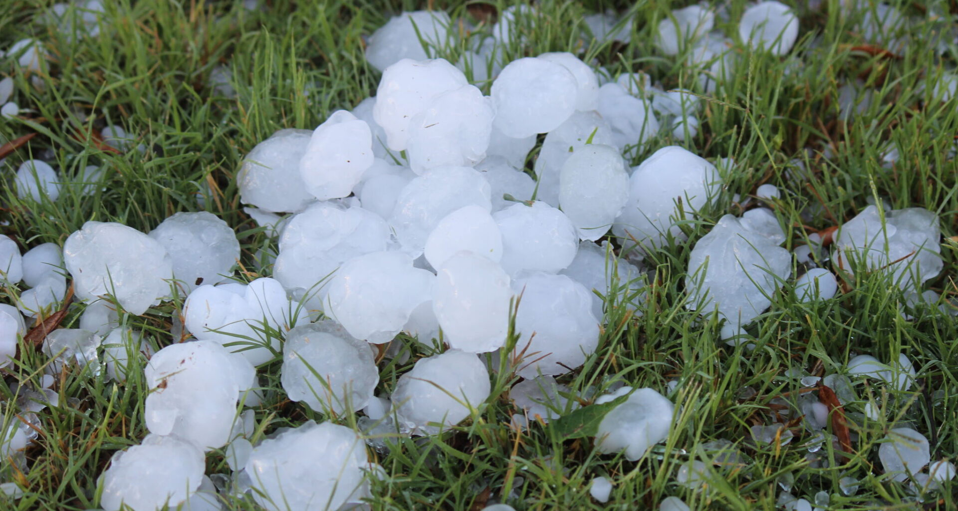
Ping pong ball-size hail could hit parts of the Texas Panhandle within hours. The threat comes as strong storms take shape ahead of an incoming cold front.
The National Weather Service said there is a low chance for severe storms across the central and eastern Panhandle on Saturday, September 19. However, if stronger storms develop, they could bring hail up to 1.5 inches across along with wind gusts up to 70 mph.
Storms could begin developing as early as 4 p.m., with the most likely window running from about 5 to 9 p.m. The eastern Panhandle has the better chance for severe weather, including areas around Canadian, Pampa, Wheeler and Clarendon. Amarillo sits farther west, where storm chances are lower, according to NWS maps.
Heavy rain is another concern. NWS forecasters said stronger storms could drop enough rain in a short period to cause localized flooding.
The storms come ahead of a cold front expected to move into the Panhandle late Saturday night. That could bring another round of storms to northern areas overnight before the front continues moving through on Sunday, according to forecast discussion.
The front will also bring some relief from the heat. Cooler weather is expected to settle across the Panhandle next week, with highs generally dropping into the mid-70s to 80s. Storm chances are expected to stick around through much of the week.