
After a brief break from triple-digit heat late last week, temperatures will climb back toward 100 degrees on Sunday. But this latest round of heat may be short-lived as a stubborn ridge of high atmospheric pressure begins to weaken, opening the door for a frontal boundary to move into Texas.
Sunday will begin with mostly cloudy skies, light south winds and temperatures in the middle to upper 70s. The afternoon will turn mostly sunny and hot, with temperatures hitting 100 degrees, but it will feel more like 104 when you factor in the humidity.
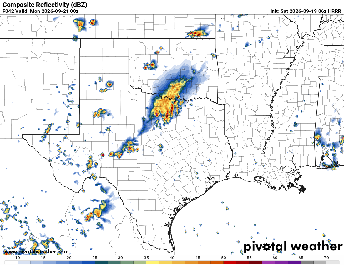
The cold front will begin its push into Texas on Sunday, bringing rain and thunderstorms to the Texas Panhandle and into Northwest Texas. Some of the activity could spill into the Hill Country and southern Edwards Plateau, from Fredericksburg to Del Rio, later in the evening.
The frontal boundary will stall along the Interstate 20 corridor in North Texas early in the week with zero change in our temperatures. However, it will be close enough to bring isolated showers into Central Texas on Monday through Wednesday. Rain chances will remain relatively low, around 10% to 20%, with the best opportunities west of Austin.
High air pressure will nudge back in over Texas by midweek, shutting off the rain chances and keeping above-average temperatures in the forecast through the rest of the week.
September 2026 is on pace to be the hottest September on record. The average temperature at Austin’s main weather station at Camp Mabry through Friday, including both morning lows and afternoon highs, was 89.4 degrees. That’s a record-high overall average for the first 18 days of September. The hottest September average temp for all 30 days was 88 degrees, recorded in 2019.
Of the first 18 days of the month, 14 reached triple-digit temperatures, pushing Austin’s yearly total to nearly 50 days. And even on the days when temperatures stayed below 100 degrees, they were still well above our September averages of around 90 degrees for the high and 70 degrees for the low.
The rest of the month looks warmer than normal, with no significant cold fronts on the way, even though astronomical or traditional fall arrives Tuesday, the day of the fall equinox. However, at last check, a cold front could sneak in at the last minute, possibly about 10 days from now.
We’ll keep you updated as we watch for any signs of cooler air.