
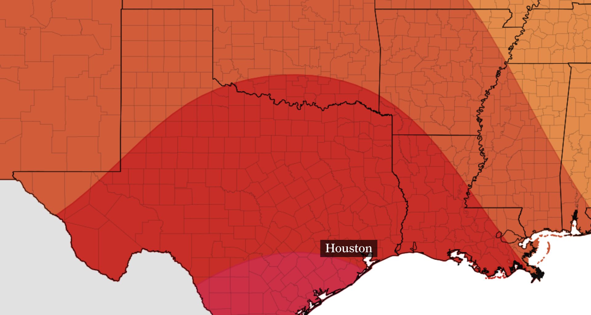
Houston’s heat will continue through the middle of the week, but Monday could bring a better chance for showers and thunderstorms across northern parts of the region.
A weak disturbance is expected to move into Southeast Texas Monday afternoon and evening as high pressure weakens slightly. Most of the Houston area will remain hot, with inland highs in the middle to upper 90s and coastal temperatures in the upper 80s to lower 90s.
Monday offers the Houston area its highest chance for a few afternoon or evening thunderstorms.
A weak disturbance moving into Southeast Texas from the north will provide extra lift as high pressure weakens slightly. That could help storms develop farther north than usual for this time of year.
Storm chances will be highest north of Houston, where odds could reach 30% to 40%. A few storms could also develop closer to Interstate 10 in time for the evening commute.
Near and south of Houston, rain chances will peak around 20%. Most neighborhoods will remain dry, and widespread rainfall is not expected. Any storm that forms could produce a brief heavy downpour, gusty winds and lightning.
High pressure will remain strong enough to keep temperatures above normal through at least the middle of the week. Highs in the middle and upper 90s are expected across most of the Houston area, while coastal areas remain several degrees cooler.
Rain chances should stay limited outside of the daily possibility for a few isolated showers or thunderstorms, especially near the coast. Most areas will remain dry
The overall pattern is not expected to change much later in the week, with hot weather continuing across Southeast Texas.
However, a weak front could move into the region from the northeast. It may bring slightly lower humidity and lower temperatures by a few degrees, though it is not expected to produce a major break from the heat.
The front may shave a few degrees off Houston’s temperatures, but it won’t end the heat.