
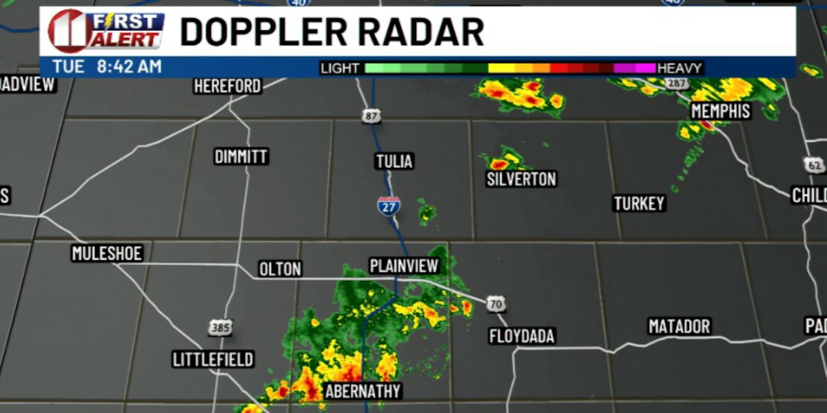
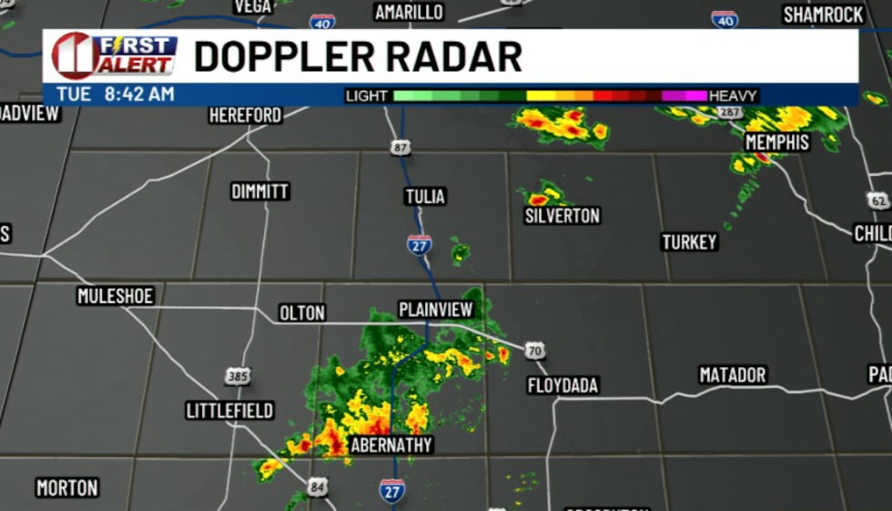
LUBBOCK, Texas (KCBD) – A couple of isolated thunderstorms that persisted through the early morning hours near Lubbock shifted south along I-27 toward Plainview as of 6 a.m., with additional shower and storm development possible through the rest of the morning.
 KCBD(KCBD)
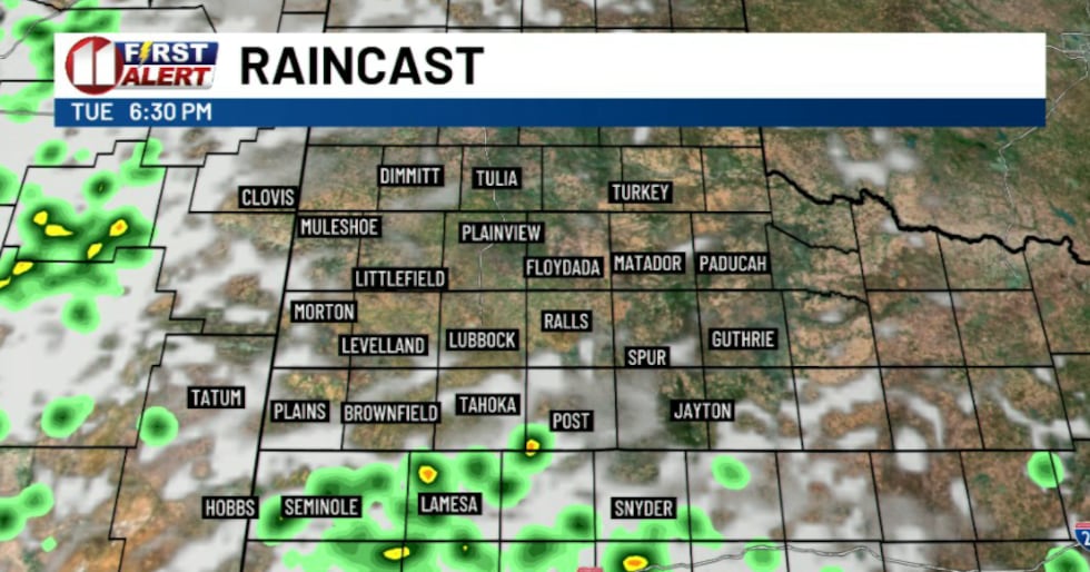
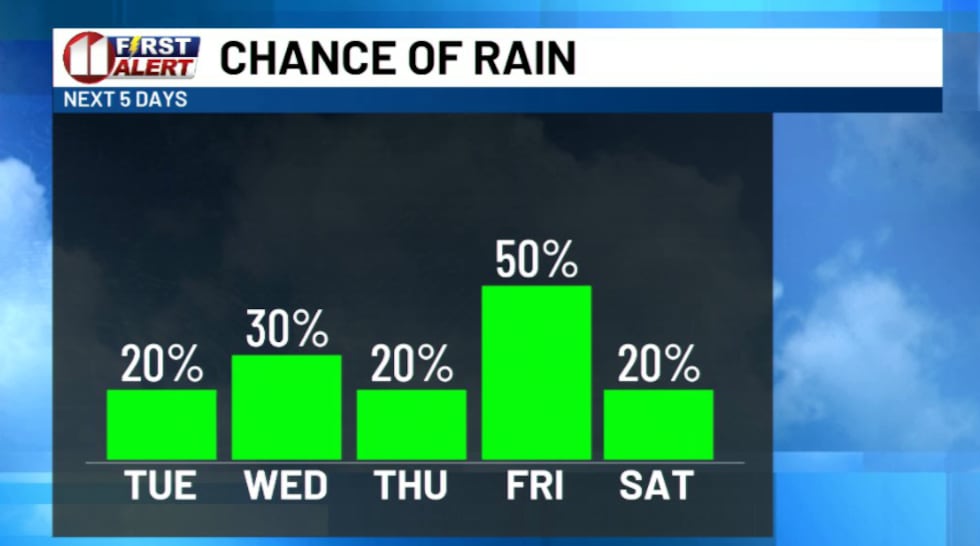
While isolated showers and thunderstorms could develop anywhere across the region through Tuesday, widespread severe weather is not expected. The forecast confidence remains low for the rest of the day as weak large-scale weather patterns create uncertainty about where and how widespread any storms will be. Most of the region has about a 20-30% chance of rain today, though many locations could remain completely dry.
 KCBD(KCBD)
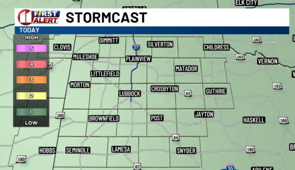
Storms that do develop will be capable of strong winds exceeding 50 mph along with heavy rainfall that may lead to localized flooding. The primary threat area appears to be across the Caprock region.
 KCBD(KCBD)
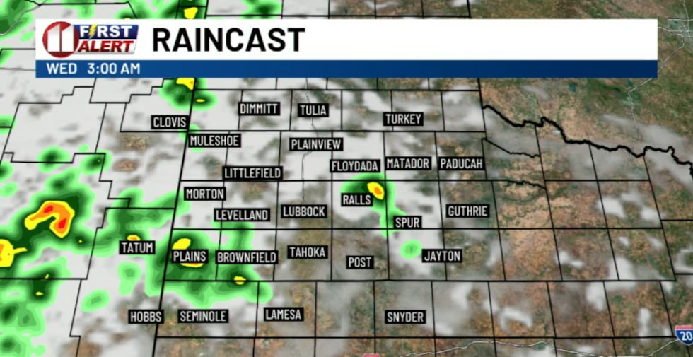
Tonight into Wednesday morning, most precipitation is expected to end as the atmosphere becomes more stable. However, a weak low-level wind jet combined with abundant moisture in place could support an isolated thunderstorm or two across the Caprock, mainly with threats of locally heavy rainfall and strong winds up to 50 mph.
 KCBD(KCBD)
Low-level clouds are likely to develop Tuesday morning and linger into the early afternoon, which could keep temperatures a few degrees cooler than currently forecast.
 KCBD(KCBD)
Daily chances for showers and thunderstorms are expected each afternoon from Tuesday through Saturday. Any storms that develop will be capable of heavy rainfall, strong to marginally severe wind gusts, and quarter-sized hail.
 KCBD(KCBD)
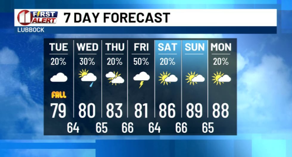
Temperatures will be slightly cooler this week, with highs ranging in the 80s for most. Conditions are expected to warm back up through the weekend.
 KCBD(KCBD)
Copyright 2026 KCBD. All rights reserved.