
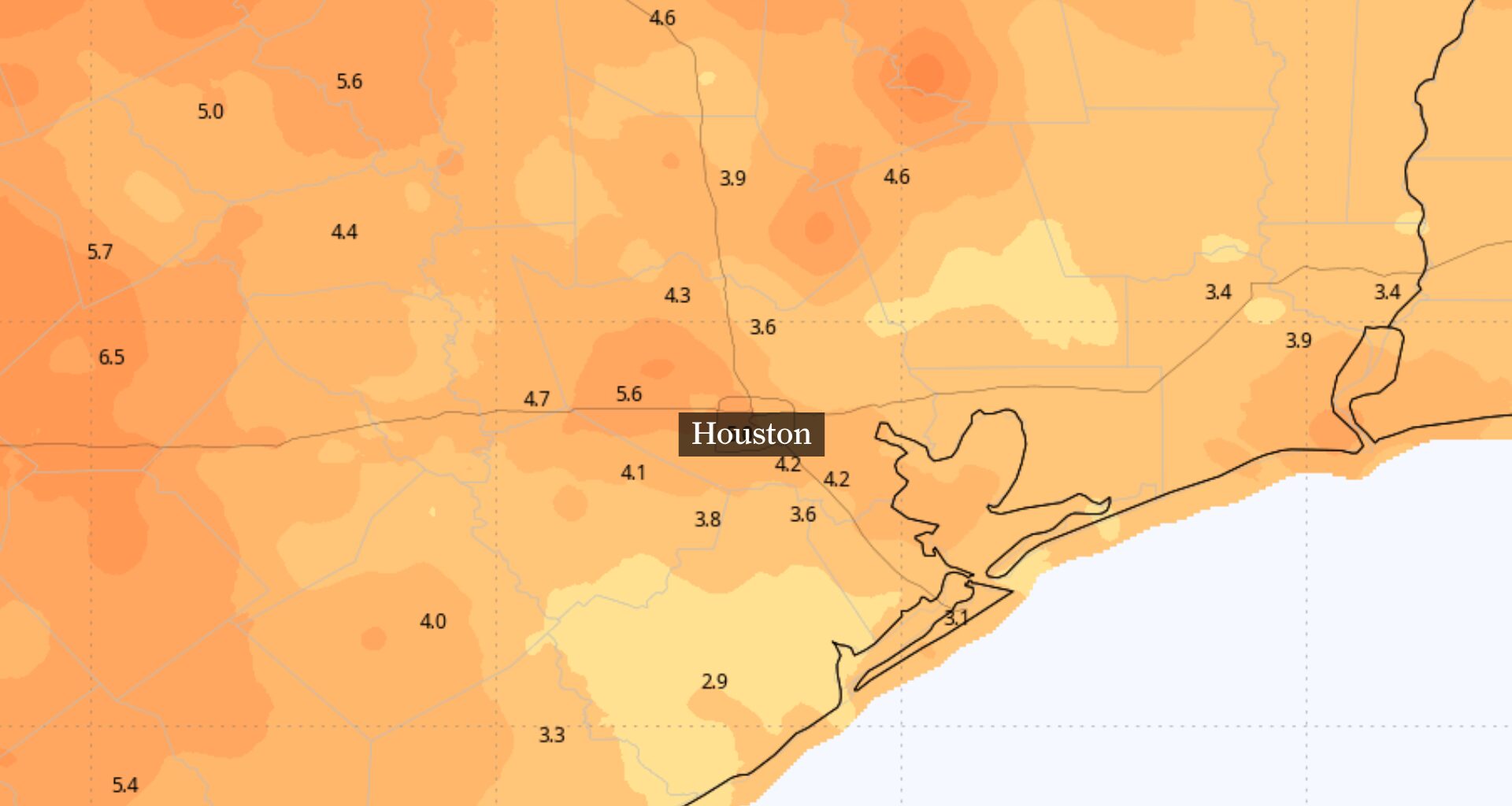
Houston’s weather will get a small favor from a weak front Thursday — not cooler temperatures, but air that should feel slightly less sticky.
The change will be modest but noticeable. The front will not bring cooler temperatures or much rain, but it will lower dew point temperatures (an indicator of how saturated the air is with moisture) into the mid- and upper 60s. Meanwhile, actual air temps will remain in the mid-90s. That means a little less sticky air Thursday and Friday. It will be a brief break from humidity, not truly cooler fall weather.
The brief respite from muggy weather comes during a September that already ranks among Houston’s warmest on record.
Thursday morning may still feel warm, but the air should gradually become more comfortable as the front pushes farther south of Houston.
Dew points, which measure how cool the air has to be for dew to form, also reflect the amount of moisture in the air. Lower values generally mean the the air feels less humid.
Dew points are expected to fall into the mid- and upper 60s Thursday and Friday. This will not be truly dry air for Houston, but it will be a step down from the more humid weather in recent days.
The front will not bring a major temperature drop. Highs will remain in the lower to mid-90s, with overnight temperatures falling into the 60s and 70s.
Most of the Houston area should stay dry Thursday and Friday. A few showers remain possible, especially south and west of Houston, but widespread rain is not expected as drier air filters into Southeast Texas.
The brief break from humidity will not change the bigger story of Houston’s September, which has been unusually hot, despite being the first month of meteorological fall.
At Bush Intercontinental Airport, Houston’s official climate observation site, the average high temperature through the first 22 days of September was 94.2 degrees. That makes this the third-warmest September on record for daytime high temperatures, behind only 2011 and 2023.
Overnight temperatures have been even more unusual. The average predawn low of 75.9 degrees is the warmest recorded for any September.
Combined, those unseasonably hot days and unusually warm nights have produced an average temperature of 85.1 degrees so far this month. That ranks this September second overall, just 0.2 degree behind the record-setting 2023 at the same point in the month.
A warmer and more humid weather pattern could return this weekend as moisture increases across the region. A few isolated showers or thunderstorms may develop Sunday and Monday, especially across northern counties, but widespread rain is not likely for now.
Another front could approach next week and bring better rain chances along with a more noticeable temperature change. For now, Thursday’s forecast is simple: still hot, mostly dry and a little less humid.