
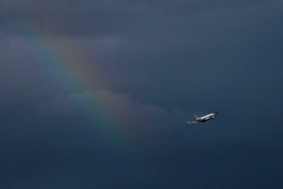
The work week begins Monday with Dallas-Fort Worth facing the potential for thunderstorms.
This video created with the assistance of AI.
High temperatures are expected to top out at 95 degrees, with heat index values as high as 102, according to the National Weather Service‘s Fort Worth office. A 20% chance of showers and thunderstorms is possible, mainly after 1 p.m.
The weather service issued an air quality alert for D-FW that lasts through Monday. The Texas Commission on Environmental Quality said atmospheric conditions are expected to be “favorable for producing high levels of ozone air pollution.”
Residents can help limit ozone pollution by walking, riding a bicycle, taking lunch to work and conserving energy, according to the alert.
Temperatures will drop into the mid-70s after dark. The weather service said a 5 to 10 mph wind is expected throughout the day.
North Texas might be in for a stormy week, with chances of rain ranging from 30% to 80% until Sunday, the weather service said.
The latest from KXAS-TV (NBC5)
MONDAY: Sun, clouds, breezy and very warm with a 20% chance of showers and thunderstorms. High: 95. Wind: S 10-15 mph
TUESDAY: Increasing clouds, very warm and breezy with a 20% chance of showers or thunderstorms. Increasing rain chances by Tuesday night. Low: 76. High: 94. Wind: S 10-20 mph with higher gusts.
WEDNESDAY: Mostly cloudy and breezy with showers and thunderstorms. Low: 76. High: 88. Wind: S 10-20 mph with higher gusts.
THURSDAY: Mostly cloudy with showers and thunderstorms. Low: 72. High: 86. Wind: S 10-15 mph.
FRIDAY: Variably cloudy with showers and thunderstorms. Low: 70. High: 82. Wind: NNE 5-10 mph.
Subscribe
This article originally published at Slight chance of rain possible Monday in Dallas-Fort Worth. Here’s what to expect.