
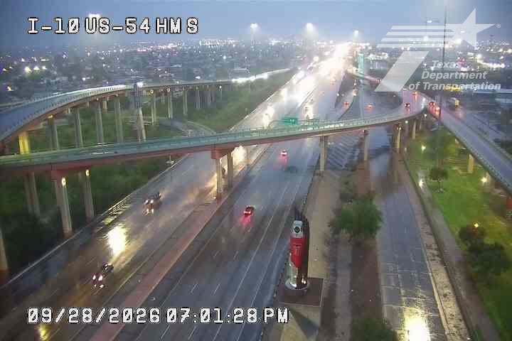
That’s how one meteorologist with the National Weather Service characterized how the remnants of Hurricane Polo impacted El Paso as it pushed through far West Texas late Tuesday, September 29.
Once one of the most powerful tropical cyclones to spawn in the Pacific Ocean, Polo had Texas forecasters warning that it could dump inches of rain and cause flash flooding across the desert. But the dying tropical weather system arrived in El Paso with more of a whimper after inundating communities further west in New Mexico.
“If we’d been shifted 75 miles further south or east, we would have had probably disastrous conditions in El Paso,” Jason Gryzwacz, a meteorologist with the National Weather Service at El Paso, told MySA on Wednesday morning.
The last lingering tropical remnants of Polo arrived in The Sun City late Tuesday afternoon, dropping 1 to 1.5 inches of rain across the city. One severe storm knocked out power lines north of El Paso proper along Interstate 10 in the small community of Vinton. The downed lines briefly left about 18,000 customers without power. But electricity has largely been restored since. Fewer than 200 customers remained without power as of 10 a.m. Wednesday, according to an El Paso Electric power outage map.
While El Paso was spared the worst of Polo’s effects, several communities in neighboring New Mexico didn’t fare quite as well. In Doña Ana County, New Mexico, Polo dumped as much as 3 inches of rain, though the NWS is still working to gather final rainfall tallies, Gryzwacz said. Late Tuesday, Doña Ana County officials issued evacuation orders for the cities of Hatch, Garfield, Salem, Rincon and Placitas after the heavy rains put the McLeod Dam at risk of failure.