
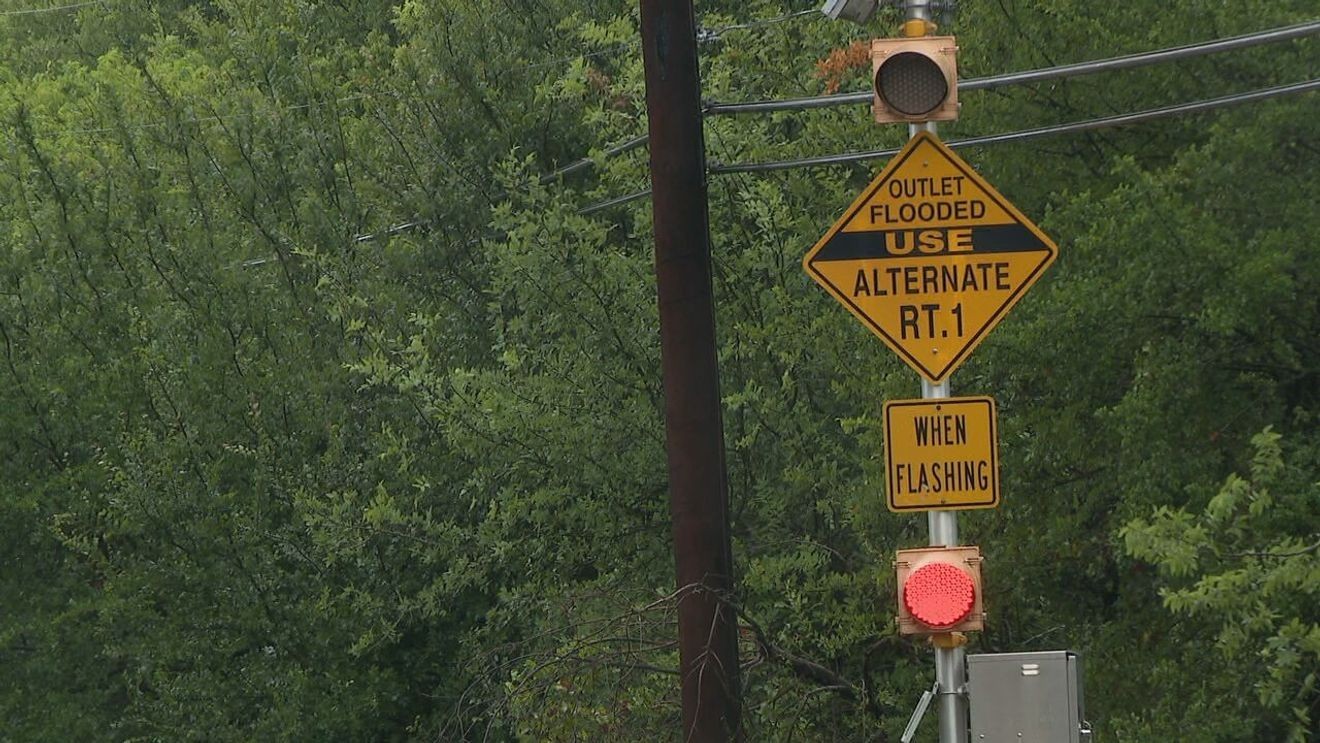
SAN ANTONIO — As rain moves into the San Antonio area, nearly 200 sensors at low-water crossings across Bexar County are monitoring road conditions and warning drivers when water makes a crossing unsafe.
The red and green dots on BexarFlood.org show whether a monitored crossing is closed or open. Gray dots mark sensors that are offline.
Right now, only six sensors in Bexar County are marked offline, according to the San Antonio River Authority. That is a major improvement from earlier this year, when the News 4 I-Team found more than a dozen sensors were inactive or offline — some for years.
At one point, nearly 40 sensors needed repairs, the River Authority tells us.
The River Authority says crews have spent months installing new technology and working with cities across Bexar County to restore the gauges. That work became more complicated after severe storms in July and August damaged additional equipment, creating more repairs.
Bexar County has invested $21 million in a new flood-warning system that will upgrade low-water crossings with gate arms, flood gauges and high-tech sensors.
The new system is designed to send alerts to drivers and first responders much faster.
County leaders say the older system could take 30 to 45 minutes to process and share information. The upgraded system is expected to cut that to about five minutes.
Officials say future sensor locations will be selected using rainfall data and mapping that identifies areas where water rises quickly.
The goal is to have 95% of Bexar County’s sensors upgraded by 2027.
Drivers can check current low-water crossing conditions and road closures at BexarFlood.org.