
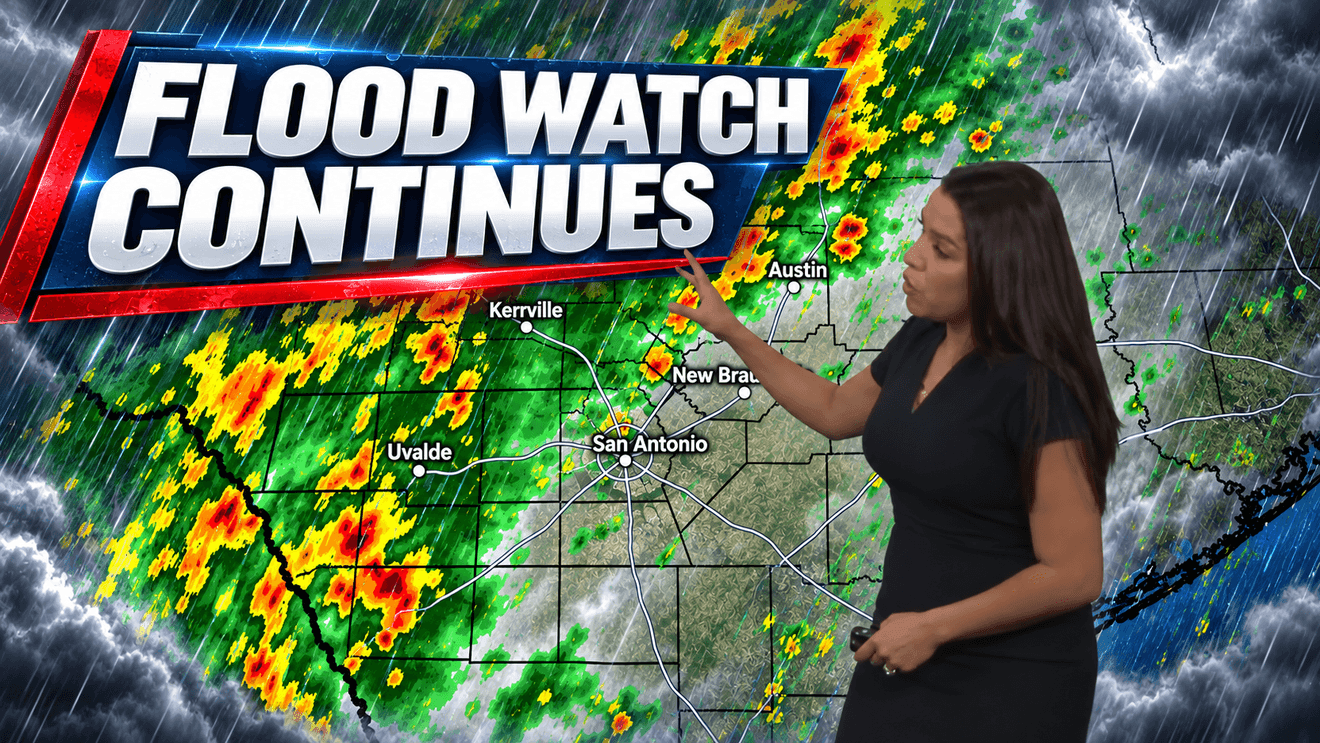
SAN ANTONIO — After several inches of rain fell across the San Antonio area on Thursday, another round of showers and thunderstorms could bring renewed flooding concerns today.
CLICK HERE to track the storms with our interactive radar…
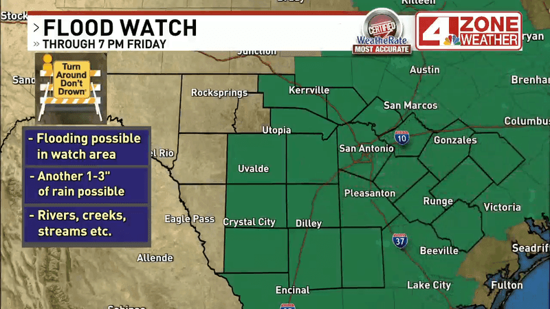
A Flood Watch remains in effect through 7 p.m. for much of the San Antonio area, with an additional 1 to 3 inches of rain possible in some locations.
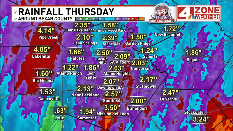
Bexar County generally received between 2 and 4 inches of rain Thursday. Around 2 inches fell at San Antonio International Airport, Alamo Heights, downtown and near Lackland, while Mission del Lago received about 3.5 inches.
Some of the highest totals were reported west of San Antonio. Pipe Creek and Lakehills received around 4 inches, while Rocksprings picked up about 6 inches. Kerrville received around 3 inches, with nearly 3 inches reported in Bandera.
Areas east of San Antonio also saw significant rainfall. Nearly 2.5 inches fell around La Vernia, close to 3 inches in Stockdale and about 2 inches in Seguin. Gonzales and Hallettsville received between 3 and more than 4 inches.
More rain today could quickly cause problems because the ground is already saturated. Rivers, creeks, streams, low-water crossings and underpasses will be especially vulnerable to flooding.
After several inches of rain fell across the San Antonio area on Thursday, another round of showers and thunderstorms could bring renewed flooding concerns today. (SBG San Antonio)
Showers were already developing early this morning south of San Antonio along Interstate 35, with additional rain across portions of Bexar, Wilson, Guadalupe and Gonzales counties. A stalled front nearby will help keep rain chances elevated through the day.
Fog is another concern Friday morning. Saturated air could reduce visibility considerably in some areas, with visibility dropping to around a quarter-mile at San Antonio International Airport early Friday.
Showers and thunderstorms will remain possible through the morning and into the afternoon, although rain should gradually become less widespread later in the day. Friday’s rain chance is around 70%, with temperatures topping out near 80 degrees.
After several inches of rain fell across the San Antonio area on Thursday, another round of showers and thunderstorms could bring renewed flooding concerns today. (SBG San Antonio)
Scattered showers remain possible Saturday, with a 50% chance of rain. Rain chances fall to around 30% Sunday before much drier weather arrives next week.
The change will also bring a taste of fall. Morning temperatures are expected to drop into the mid-60s beginning Tuesday, with afternoon highs generally in the low to mid-80s.
Seneca Dr and Bandera Rd (Courtesy: Melissa Welch via Chime In)