
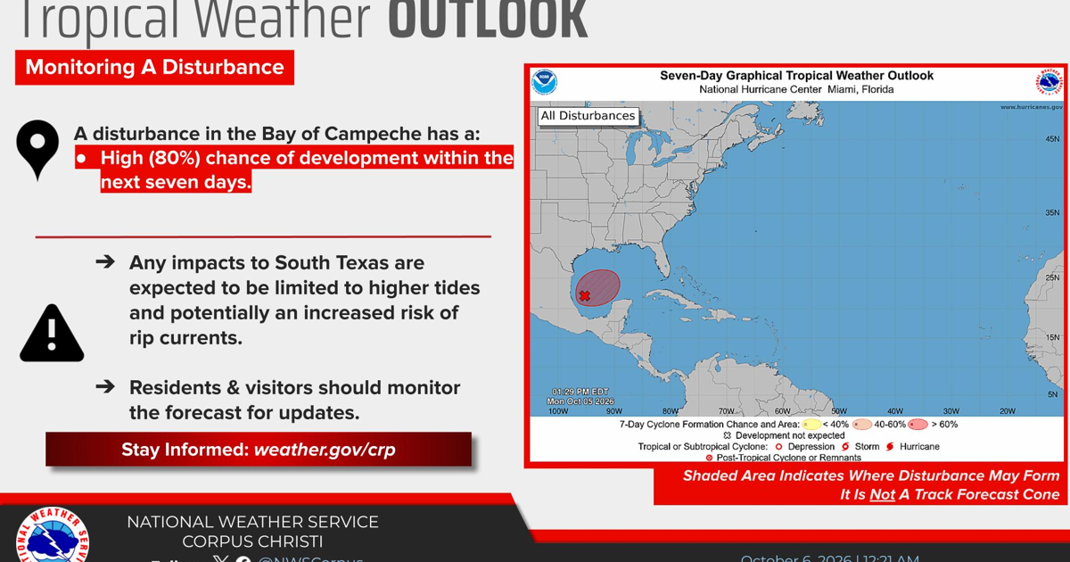
CORPUS CHRISTI – The National Hurricane Center is monitoring a broad area of low pressure near the Bay of Campeche that has a high chance of tropical development during the next seven days.
The system has an 80% chance of developing into a tropical or subtropical cyclone during that period, according to an outlook shared early Tuesday by the National Weather Service in Corpus Christi.
At this time, forecasters expect any effects on South Texas to be limited.
Coastal impacts possible
Although no direct impact to South Texas is currently expected, higher-than-normal tides could affect coastal areas if the disturbance develops.
An increased risk of rip currents also is possible along Coastal Bend beaches.
Rip currents are powerful channels of water moving away from shore and can pose a danger to swimmers even when weather conditions along the coast appear relatively calm.
Forecast remains uncertain
The disturbance had not developed into a tropical depression or storm as of the latest outlook, and its eventual organization and movement remain uncertain.
The National Weather Service encouraged South Texas residents and visitors, particularly those along the coast, to continue monitoring forecasts for changes.
Additional information and updated forecasts are available through the National Hurricane Center and National Weather Service as the system develops.
Visit SouthTexasNews.com for updates.