
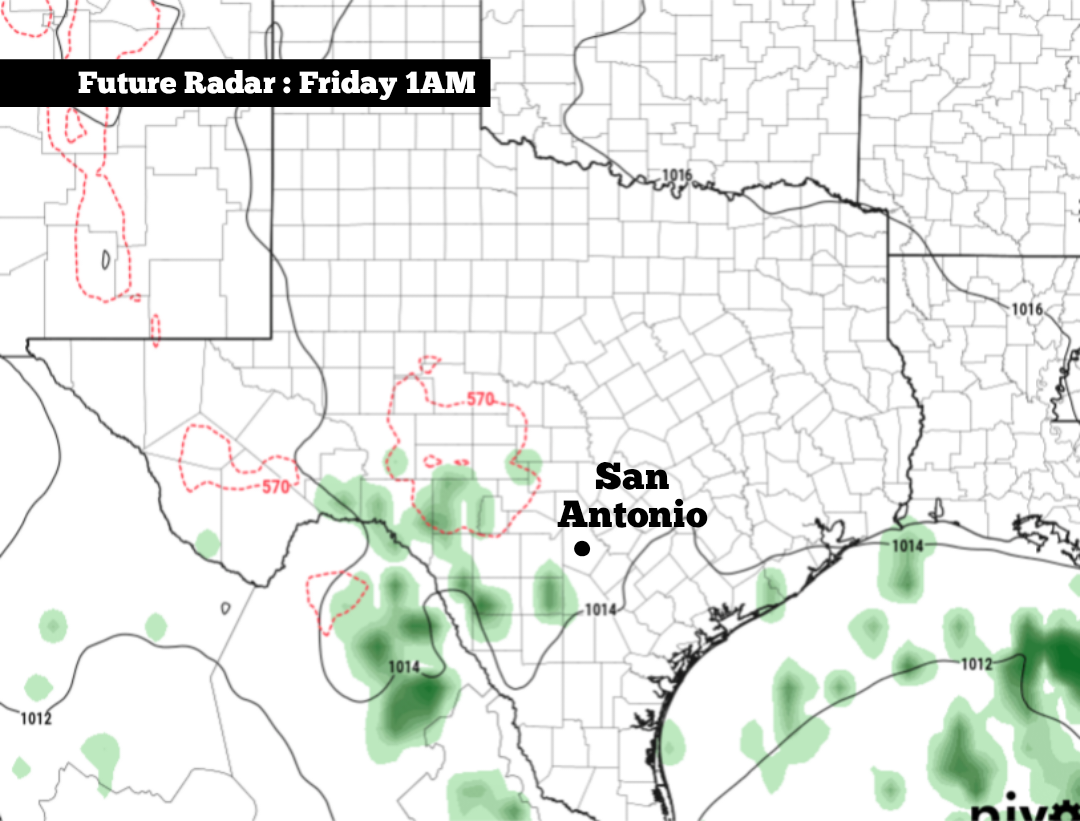
Some changes are coming, though, as we move into the second half of the work week. A small area of low atmospheric pressure is expected to develop across Texas on Thursday, and this disturbance may be enough to bring a few isolated showers and storms to the region, although coverage will be rather isolated.
Another comfortable and cool morning is anticipated throughout the region on Wednesday, with temperatures in San Antonio expected to sit in the upper 60s between 4 a.m. and 8 a.m. The Hill Country will be noticeably cooler, with lows in the upper 50s to lower 60s from Kerrville to Fredericksburg.
With low humidity in place, temperatures will rise quickly throughout the day, likely reaching 80 degrees as soon as 11 a.m. By the late afternoon, temperatures are likely to top out near 89 degrees in the San Antonio metro area. A few spots could briefly touch the 90-degree mark, which would be about 5 degrees above average for early October.
Skies will be mostly sunny throughout the day, with no chance of rainfall in San Antonio. An isolated shower could develop along the coast, from Brownsville to Corpus Christi as tropical moisture builds over the Gulf of Mexico.
A very weak system of low air pressure will swing into West Texas by Thursday evening and move over San Antonio on Friday. The system won’t provide much moisture, but a few showers may become possible.
Rain chances will be highest west of San Antonio, where there is about a 30% chance of showers from Big Bend National Park eastward to Del Rio. San Antonio rain chances will only be at 10% to 20%, so much of the region will stay dry.
Besides the small rain chance, pleasant weather is expected in the Alamo City during the rest of the week. Morning low temperatures will stay in the upper 60s on Thursday before rising to around 70 degrees on Friday. Afternoon highs are likely to stay in the upper 80s each day.
Meanwhile, a tropical storm is likely to develop over the Gulf of Mexico this week, and it’s projected to turn north and move close to the central Gulf Coast by the weekend. Areas from southeast Louisiana to the western Florida Panhandle have the greatest risk of seeing heavy rainfall and high winds, while the Texas coast is likely to stay mostly unscathed.
Dry weather is expected to continue through the weekend and into the first half of next week, while afternoon temperatures are expected to stay in the upper 80s. Long-range weather models show that isolated rainfall may become possible by the middle of next week, with more widespread rain possible around Oct. 15-18.