
We’ve finally turned the page on summer heat: Temperatures dipped below 70 degrees in Austin for the first time in months Tuesday morning, and several cooler mornings are on the way. It’s the kind of weather many of us would happily hit “pause” on and enjoy for the next few months.
Wednesday morning will likely bring the coolest temperatures of the week, with lows dipping into the upper 50s across the Hill Country and the low to mid-60s along and east of the Interstate 35 corridor. The afternoon will be sunny and warm with low humidity. High temperatures will be near our seasonal normal of 86 degrees.
Austin temperatures are projected to drop to 66 degrees, the first time we’ve been that cool since late May. To put that into perspective, the city’s average morning low for early October is 64 degrees, so we’ll still be a couple of degrees above normal. But after weeks of temperatures running 10 to 15 degrees above average, this kind of cool weather is going to feel glorious.
The rest of the week will remain comfortable, although temperatures will gradually start to climb. Morning lows will trend back toward 70 degrees, while afternoon temps could rise into the upper 80s to near 90 degrees. Humidity will also slowly increase, but overall, it’s shaping up to be a nice week across Central Texas.
A few spotty showers could enter the picture Thursday, mainly west of Austin, as a weak upper-level atmospheric disturbance moves into the region near the Rio Grande and into the Edwards Plateau. Rain chances will remain low, around 10% in Austin and up to 20% across parts of the Hill Country.
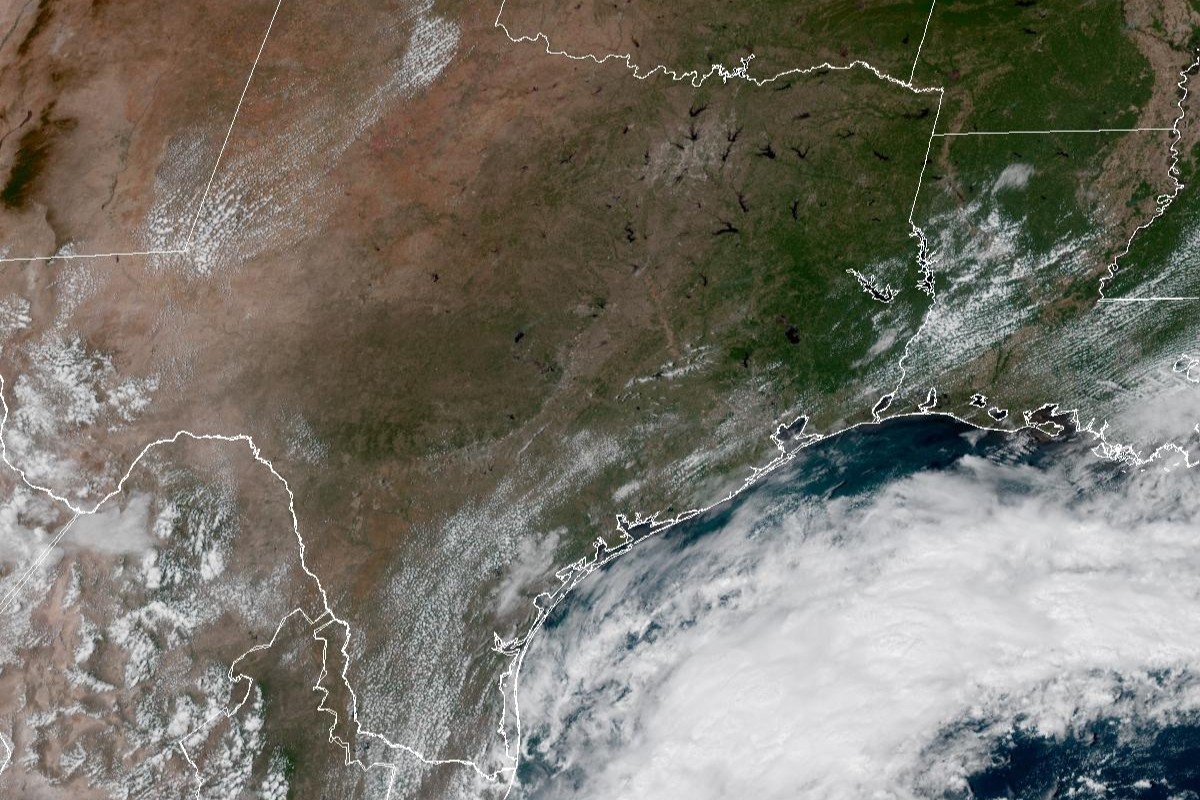
Later in the week, attention will turn to the southwestern Gulf of Mexico, where an area of low air pressure near the Bay of Campeche became Tropical Depression 9 early Tuesday afternoon. The system, which had the potential to develop into Tropical Storm Isaias, is expected to strengthen and drift north-northeastward toward the Gulf Coast between Louisiana and Florida.
The good news for Texas is that the system is forecast to continue moving in that general direction, with a potential landfall near New Orleans, Biloxi, Miss., or Mobile, Ala., by the weekend. For Central Texas, the weather hazards should remain minimal, with perhaps some increased cloudiness and a few showers along the Texas coast.
In the heavy rainfall that soaked Central Texas last week, downtown Austin picked up nearly 2 inches of rain, almost half of what we typically receive during the entire month of October. That rainfall helped chip away at our rainfall deficit from normal for the year to date. Austin has now received 26.38 inches of rain in 2026 so far, leaving us only about an inch below normal for the year to date.
And luckily, the rain chances aren’t going away anytime soon.
The long-range outlooks from the National Weather Service’s Climate Prediction Center are calling for an above-normal rainfall pattern across Texas through the middle of October, giving us more opportunities to chip away at our rainfall deficit over the next 10 days.