
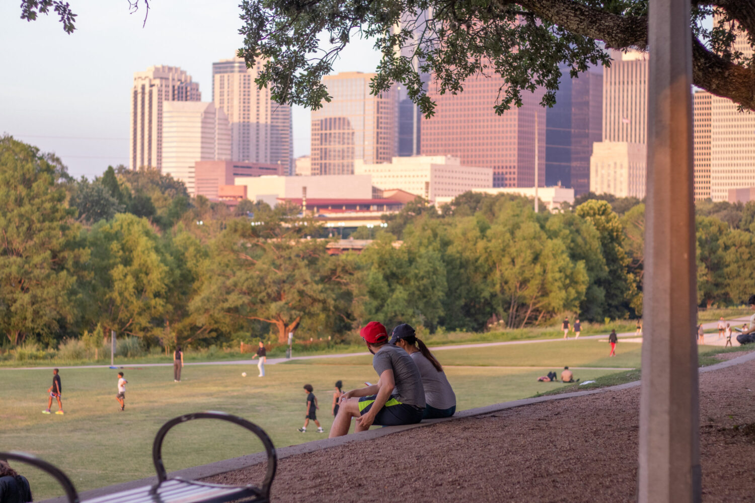
Daisy Espinoza / Houston Public Media
According to the National Weather Service (NWS), temperatures will drop over the weekend across the Greater Houston area, with lows in the 50s and highs in the 70s .
“It’ll actually feel like a fairly nice fall weather day, which is long overdue for Southeast Texas,” Bradley Brokamp, a meteorologist for the NWS, said.
Temperatures are expected to warm up heading into next week.
The cold front is forecast to bring northerly winds down the coast, lowering humidity levels. Sunday will be the coolest day, with low temperatures expected in the 40s in some parts of Southeast Texas.
NWS issued a Wind Advisory on Friday for portions of Southeast Texas, including Houston, Galveston and Austin. Inland, sustained winds of up to 30 mph are expected Friday evening, with gusts up to 40 mph. Along the coast and the barrier islands, gale conditions are anticipated, with gusts upwards of 45 mph.
Weather officials said residents should be cautious of decorations and other unsecured outdoor objects. With the increased gusts, loose items can become a hazard. For those driving in a higher profile vehicle like an SUV or truck, driving can be slightly more difficult with stronger winds.
Increased winds also bring the risk of fire. Although there is no warning in effect for now, NWS officials said they are monitoring the situation because of drier conditions and warned residents to be extremely cautious.
This weekend is expected to bring the area’s coldest temperatures since May.