
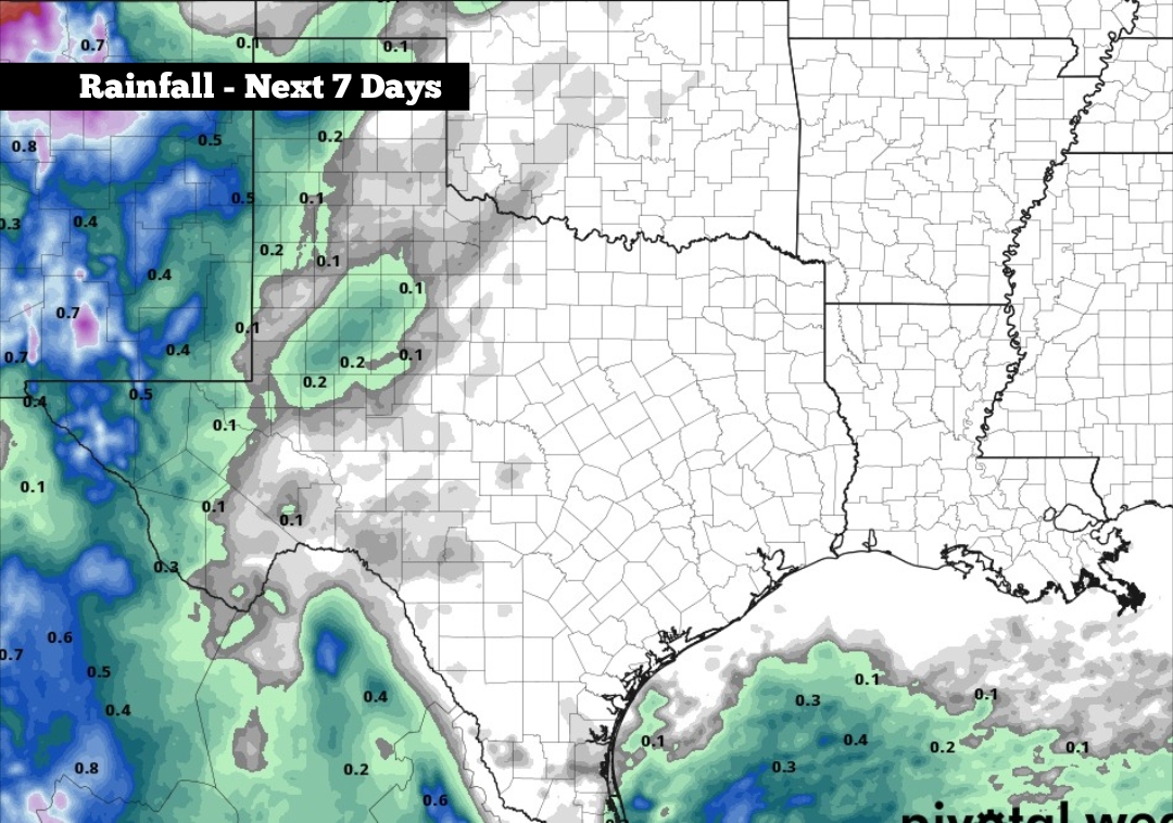
After what was a rainy start to October, drier skies have prevailed across South Texas over the past couple of weeks. In fact, San Antonio has now gone 16 consecutive days without rainfall during what is typically one of the rainiest months of the year for the Alamo City.
Heading into this week, dry conditions are likely to continue, courtesy of low humidity levels across South-Central Texas. However, long-range weather models are starting to suggest that a developing tropical system in the Pacific Ocean could bring enhanced rain chances to our region by next week. Here’s what we know so far.
Monday: A cool, crisp start is expected throughout the region as morning temperatures will sit in the 50s across the San Antonio metro area. The Hill Country will be several degrees colder, with morning lows likely in the upper 40s from Kerrville to Fredericksburg.
Mostly sunny skies are expected throughout the day, allowing temps to climb steadily. San Antonio will likely reach the 70-degree mark by noon before highs top out near 76 degrees by the mid-afternoon. Winds will also be very light, coming in from the east at 5 mph, making for very comfortable conditions to spend outdoors.
Warm-up on the way: A shift in the weather pattern is expected this week, highlighted by high pressure building across Texas. This will bring dry skies and increasing warmth each day. On Tuesday, San Antonio will see high temperatures rise into the low 80s before increasing again into the mid-80s by Wednesday.
Thursday and Friday will be the warmest days of the week, as highs will climb into the upper 80s — nearly 10 degrees above average for late October. However, because humidity levels will stay low, morning temperatures will stay cool in the low 60s each morning.
Warm and dry weather is expected to continue through the upcoming weekend, as highs stay consistent in the mid- to upper 80s. However, by the start of next week, our attention turns to a potential tropical system developing in the eastern Pacific Ocean.
The National Hurricane Center is currently monitoring an area south of Mexico for potential tropical development. As of Sunday, the agency says there is an 80% chance that a tropical storm could form over the next few days. If a storm does develop, it would be named Tropical Storm Vance.
Weather models show that the potential tropical storm could strengthen into a powerful hurricane by the weekend as it approaches the southern Mexico coastline. Then, the potential track of the storm may bring remnant moisture northward into the Lone Star State.
This increased Pacific moisture could bring widespread rain into South Texas next week, especially on Monday and Tuesday. However, because this system is still a week away, it’s uncertain exactly where the highest rain chances will develop.