
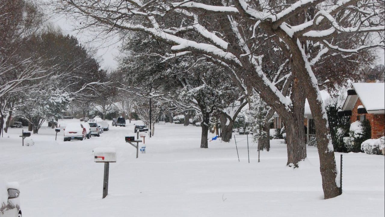
DALLAS – Dec. 1 is the start of meteorological winter. So, what will winter look like in North Texas this year?
Here’s what FOX 4 Weather Chief Meteorologist Dan Henry had to say.
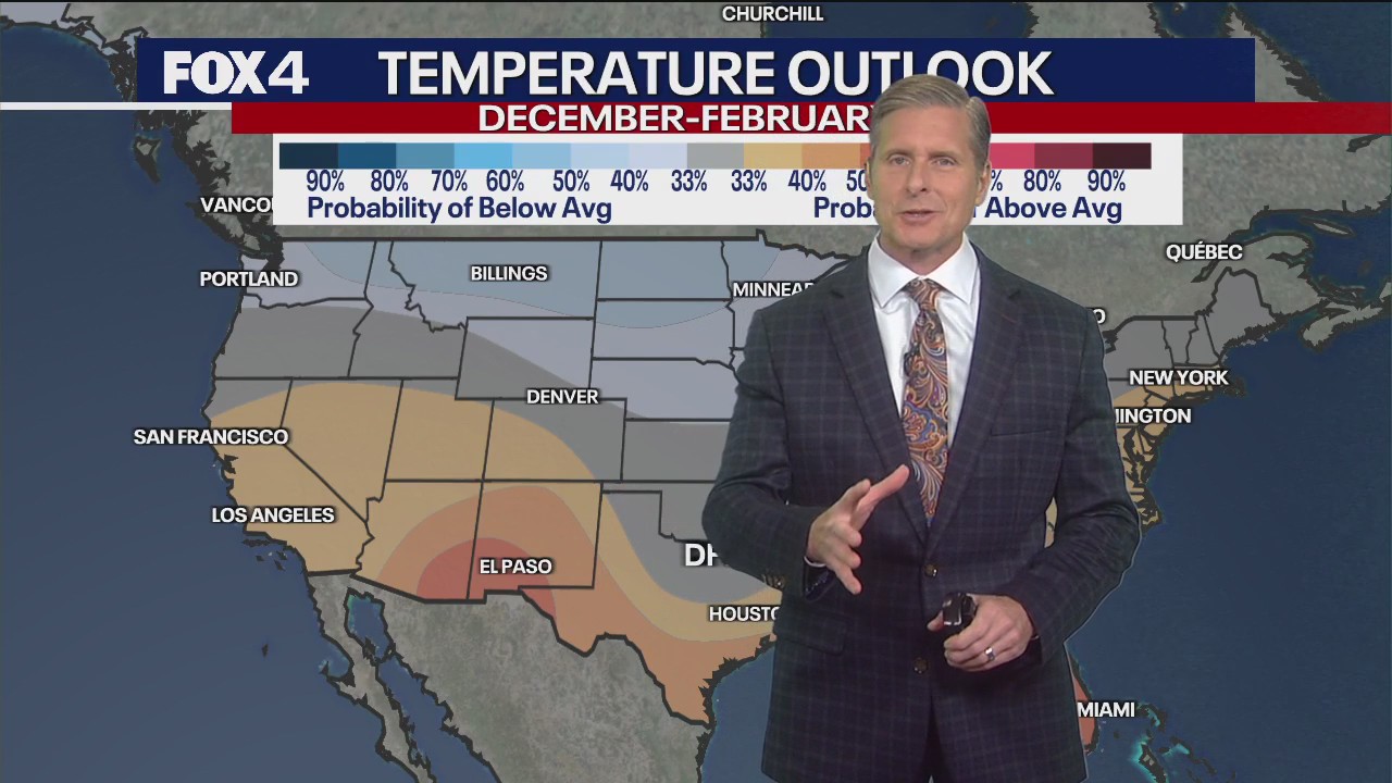
La Niña Pattern 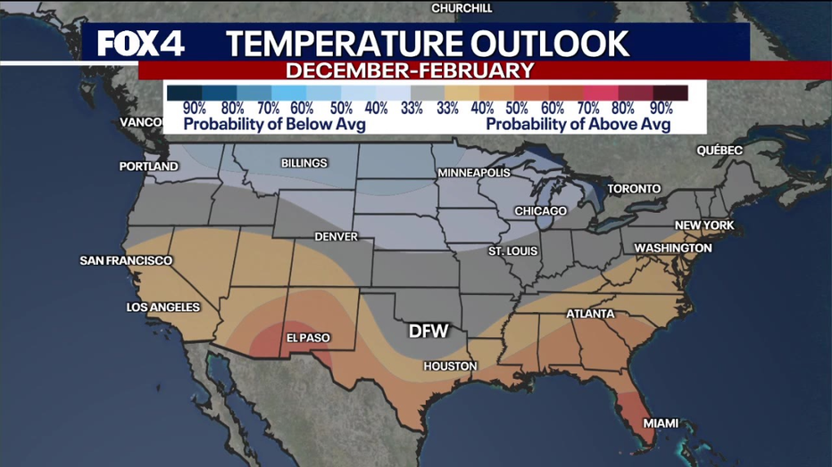
Big picture view:
The outlook for winter this year is kind of murky unless you’re in the far northern tier of the country, Florida, or the desert southwest.
A lot of this long-range prediction is heavily weighted on the current La Niña, which is weak this year. So, it doesn’t provide a very strong signal on whether temperatures will be above or below average.
If it were a stronger La Niña, we’d see a stronger signal on the long-range outlook. But considering it’s weak, it indicates only about a 30-40% chance of above-average temperatures across the southern part of the country.
This La Niña may also flip to more neutral conditions or normal Pacific Ocean water temperatures by mid-winter.
Will it snow in Dallas this year? 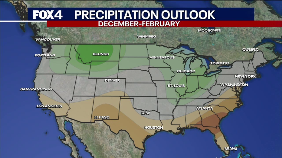
Local perspective:
What I tell people who ask me about the upcoming winter in North Texas is this: It is almost always “Jekyll and Hyde.”
We vary wildly from week to week at times, as long stretches of mild, dry weather are interrupted by significant Arctic air intrusions.
Keep in mind, too, that conditions have to come together perfectly for our area to see snow. What usually happens is that we develop a warm layer aloft that puts us in the dreaded “wintry mix” category.

I suspect that, based on at least a weak La Niña for the first half of winter, we will lean toward the drier-than-normal side. Temps will continue to fluctuate significantly as well.
The one wild card is the Polar Vortex, which has shown signs of instability. That tends to favor Arctic blasts making their way into the Lower 48 as lobes of very cold air break off and head southward.
We’ll continue to keep you updated!
The Source: FOX 4 Weather Meteorologist Dan Henry used maps from NOAA, NWS, and other weather sources to gather information for this story.