
If you’re a fan of classic Pacific Northwest weather, you’re in luck. Austin is about to get a taste of it.
The thick cloud cover that settled in on Wednesday is here to stay for several days as another storm system moves through Central Texas, bringing overcast skies, fog, scattered showers, drizzle and mist. The rain won’t be heavy, but it will leave the ground wet and may cause slick spots on roads at times.
After a brief break in the rainy and dreary weather on Tuesday, our next storm system already moved into the region on Wednesday with a thick deck of clouds overtaking the city and some light showers during the night.
A cold front will move through Thursday morning, bringing a better chance of rain showers and possibly a few embedded thunderstorms. Rain chances will increase to 60% across Central Texas, with totals ranging from 0.25” to 0.50” east of Interstate 35.
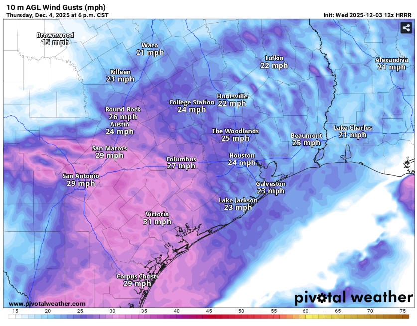
Once the front passes Austin, cooler air will move in, with temperatures falling from the mid-50s in the morning to the upper 40s by the afternoon, well below the average high of 66 degrees. You’ll also notice the front’s passage as winds shift to the north and become quite gusty, reaching near 30 mph.
With showers and cloud cover lingering on Friday, temperatures will remain cool. Morning lows are expected in the upper 30s to low 40s, with afternoon highs in the upper 40s to low 50s.
“A few lingering showers are possible as late as Saturday morning for the Coastal Plains, but a clearing trend is expected by Saturday night as the primary trough axis finally makes it past the area, kicking off a dry pattern that looks to continue into next week,” a meteorologist from the Austin/San Antonio office of the National Weather Service wrote in its forecast discussion on Wednesday.
December is often a welcome relief for Central Texans, with temperatures holding steady in the 60s, dropping from an average high of 67 degrees at the start of the month to around 62 degrees as we close out the year. Morning lows usually remain in the 40s, though passing cold fronts can bring periods of cold and occasional freezing temperatures. According to the National Weather Service, most of Central and South Texas experience their first freeze by the end of December, with the Hill Country occasionally seeing hard freezes, when temperatures dip to around 28 degrees.
Snow and ice are rare in Central Texas during December, but rain is possible. Average precipitation ranges from about 0.50 inches along the Rio Grande to 3 inches in the Coastal Plains, with Austin typically seeing around 2.72 inches for the month.
The current forecast has a ridge of high pressure becoming established by the middle of next week, leading to warmer than seasonable temperatures as we move into mid-December.