

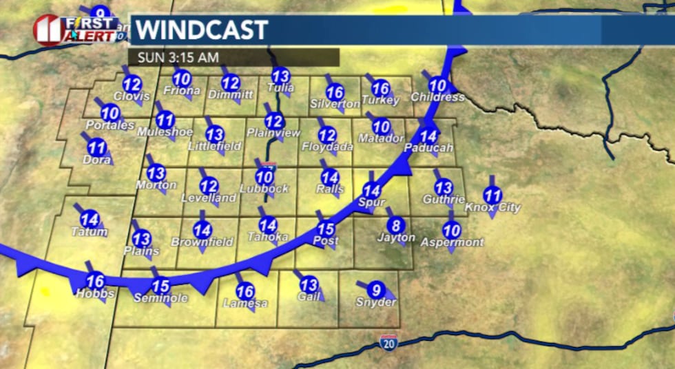
LUBBOCK, Texas (KCBD) – If you stepped outside today you definitely noticed the wind. Some people saw gusts up to 40 mph today.
The reason?
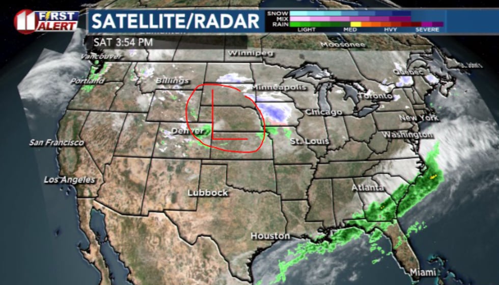
Our region is on the windy side of a developing storm system forming along the Rockies. Wind is basically the atmosphere trying to balance pressure differences.
 Low pressure system developing off the Rockies is responsible for the today’s winds(KCBD)
As the system deepens, the air across our region gets squeezed from two sides: low pressure to the north and relatively higher pressure to the south.
The result is exactly what we’re feeling today, strong southwest winds and occasional gusts. It’s the same idea as water rushing faster through a narrow channel. The air speeds up as the pressure difference becomes sharper.
The storm system will move southeast; winds will relax and taper off by sunset and turn northerly overnight as a weak front slides south.
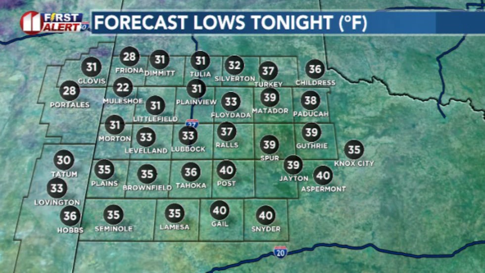
 Overnight, a weak cold front will blow through and leave behind cooler temperatures for Sunday(KCBD)
Temperatures won’t tumble as much as they have in recent nights. Lows range from the upper 20s in the far southwest to the upper 30s and 40s across the Rolling Plains.
 Lows tonight(KCBD)
That front opens the door for seasonable highs in the mid to upper 50s and mostly clear skies.
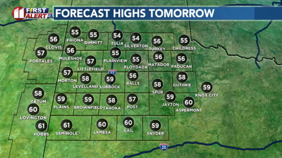 Highs tomorrow will be seasonable for this time of year(KCBD)
Looking ahead to next week, the weather will stay dry, sunny, and warmer than normal. Another developing system east of the Rockies could bring back a similar windy set up Tuesday and Wednesday and those southwest winds will help keep highs in the 60s and 70s.
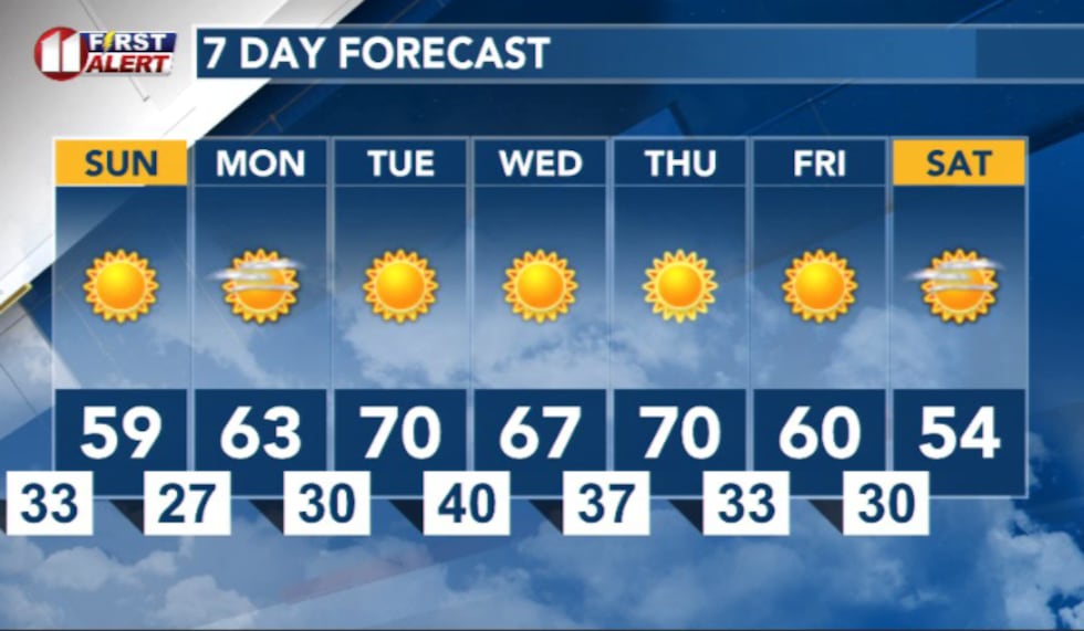 7 Day Forecast(KCBD)
Copyright 2025 KCBD. All rights reserved.