
Updated: 3:30 p.m. Tuesday, December 16
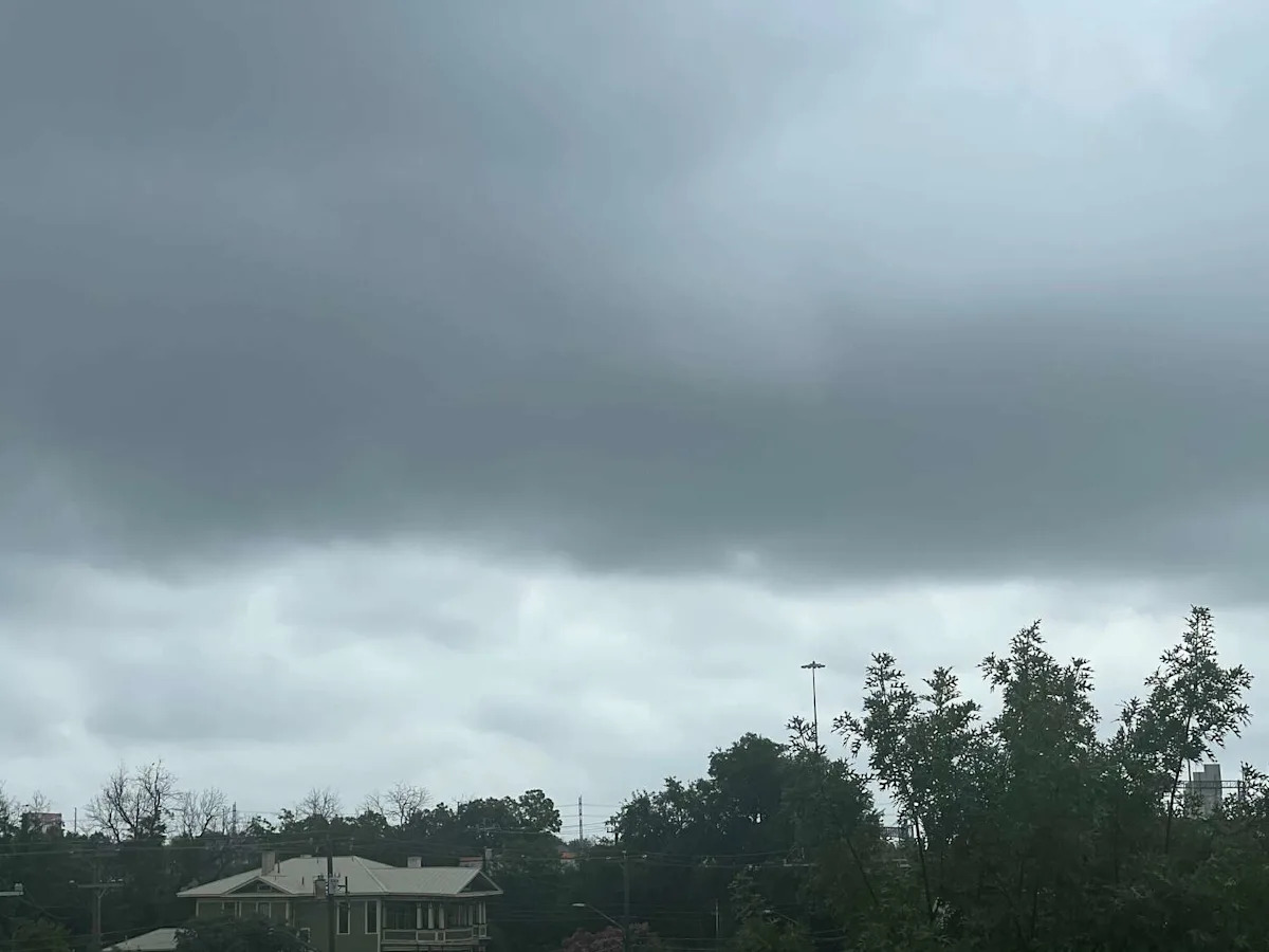
The latest weather radar show storms sweeping the Texas Hill Country early Tuesday evening, December 16. A cold front sweeping Texas upped rain odds, but most of the showers and storms are hitting hamlets north and west of San Antonio.
The National Weather Service shows between 20% and 30% thunderstorm odds from Hondo to Castrvoille Tuesday evening, dousing the towns in rain just as folks hit the highways for home after work. Those storm odds even carry into Bexar County and the northwestern edge of San Antonio, threatening the likes of Helotes and Grey Forest.
Original story:
Rain chances are bringing a weather shift to San Antonio. The National Weather Service (NWS) says the Alamo City could start seeing precipitation as early as Tuesday evening. While rain chances are only 20%, forecasters say it could increase to 40% by Wednesday as a result of the recent cold front to hit San Antonio.
“Our previous cold front looks to move back up into our area as a shallow warm front also helping to enhance any precip chances. We aren’t expecting a lot of rain with this due to how shallow this disturbance is however some areas could see a tenth to maybe a quarter of an inch especially under any
thunderstorms,” NWS said in their forecast discussion.
Tuesday will start in the 40s and struggle to climb out of the 50s, likely topping out in the upper 50s, according to the NWS seven-day forecast. High temperatures will slowly increase through the week, reaching closer to 80 degrees by Thursday. While a week cold front is expected by Thursday, forecasters say there won’t be much of a drop in temperatures.
“We really heat up with many areas approaching 80 degrees before a weak cold front looks to impact the area by Thursday afternoon. This front will bring nothing more then a wind shift causing winds to switch to the north before southerly flow once again takes hold by late afternoon early evening Friday. Highs on Friday look to cool into the 70s in the wake of this front before ramping up and once again and approaching the 80 degree mark for
Saturday and beyond,” NWS said.
It remains unclear just how cold Christmas Day will be next week. However, a report from the San Antonio Express-News suggests San Antonio could see high temperatures in the 60s and 70s.
This article originally published at Thunderstorms to hit Texas towns, San Antonio area in minutes.