Recent stratospheric data shows the vortex’s early formation is proceeding with lower-than-normal wind speeds and rapid cooling, two markers that typically precede Sudden Stratospheric Warming (SSW) events—phenomena known for disrupting weather patterns far beyond the polar regions. Combined with ongoing La Niña and QBO anomalies, the current setup suggests the polar vortex might struggle to maintain strength through the season.
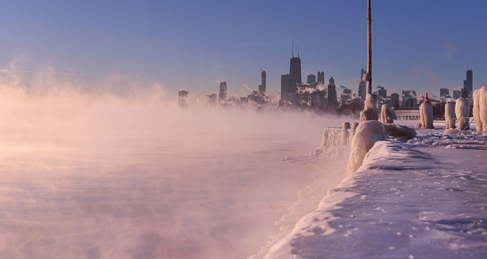
The polar vortex plays a central role in regulating winter weather across the Northern Hemisphere. When it remains strong and symmetrical, it traps cold air near the pole and keeps mid-latitude weather systems relatively stable. But when the vortex weakens or collapses, cold air can spill southward, increasing the risk of severe winter conditions in areas like the eastern United States, central Canada, and Western Europe.
Stratospheric Structure of the Polar Vortex Is Already Forming under Weak Conditions
Cooling in the stratosphere began as early as August, following the typical seasonal transition into autumn. By early September, NASA observations confirmed declining wind speeds at the 10mb level—a key altitude used to monitor vortex strength. This year’s stratospheric winds are already running weaker than average, according to Severe Weather Europe, with values comparable to last season’s slow start that eventually led to a vortex collapse.
At the same time, stratospheric temperatures at around 30km altitude are dropping sharply, reinforcing the early development of a cold core above the Arctic Circle. Pressure levels at this height are also beginning to fall, establishing the low-pressure base required for a polar vortex to expand and deepen through the atmosphere.
Visualizations from NOAA and other atmospheric models illustrate the vertical development of the vortex, showing it connecting from the stratosphere to the lower troposphere. These maps reveal how the vortex’s lower layers are already becoming more distorted, a common result of terrain interference, jet stream undulations, and mountain wave activity across the Northern Hemisphere.
As September draws to a close, meteorological models are showing a significant cooling trend over the Arctic. The latest Global Forecast System (GFS) model outputs suggest a notable decrease in 850 hPa temperatures over the Arctic region in the coming 16 days. This cooling is… pic.twitter.com/DV182b42ZA
— WeathÉire (@weatheire1) September 24, 2025
Climate Anomalies Could Destabilize the Vortex during Peak Winter Months
The development of a La Niña pattern in the tropical Pacific Ocean, combined with a negative QBO (Quasi-Biennial Oscillation), introduces further instability into the stratospheric system. Based on past winters, these two climate signals are historically associated with a higher frequency of Stratospheric Warming Events, especially during mid to late winter.
The same source notes that during La Niña years, there’s a 60–75% chance of such warming events. These sudden temperature spikes can disrupt the polar vortex entirely, often leading to cold air intrusions in areas that typically experience milder winters. The ongoing easterly QBO winds—now confirmed at altitudes between 10 and 50mb—are another indicator of potential stratospheric disturbance.
According to stratospheric wind mode forecasts cited in the source, this negative QBO is already showing a broad and well-established presence across the tropics. Its interaction with the vortex can further weaken polar circulation, increasing the likelihood of a displaced or split vortex pattern during the critical months of January and February.
Past Weak Vortex Years Point to Increased Cold Air Intrusions in Mid-latitudes
Historical analysis from Severe Weather Europe suggests a correlation between weak September stratospheric winds and the likelihood of a weaker mid-winter polar vortex. In several past seasons where the vortex began in a diminished state, January and February showed above-normal stratospheric temperatures and high-pressure anomalies over the pole—classic signs of SSW events.
The 2023 season serves as a textbook example. A powerful SSW in February 2023 disrupted the polar vortex so significantly that it displaced cold air into the United States and altered pressure patterns across Greenland and northern Europe. Two weeks after the warming event, a blocking high over Greenland redirected Arctic air masses into lower latitudes, leading to pronounced cold spells across the Atlantic basin.
This kind of pressure pattern, with cold air pushing southward while warm air builds in the Arctic, is consistent with a collapsed or disrupted vortex. The latest ECMWF seasonal forecasts also reflect signs of this setup: high-pressure anomalies extending from the stratosphere to the surface, particularly over the North Pole, suggest that a major warming event may again shape the latter half of the winter.

