
A satellite launched by NASA and SpaceX from Vandenberg Space Force Base will monitor our planet’s oceans to protect coastal communities and forecast weather.
Sentinel-6B lifted off aboard a SpaceX Falcon 9 rocket at 9:21 p.m. Sunday night, NASA’s Jet Propulsion Laboratory (JPL) said in a media statement. At 10:54, contact was made with a ground station in northern Canada.
“About the size of a full-size pickup truck, a newly-launched satellite by NASA and its partners will provide ocean and atmospheric information to improve hurricane forecasts, help protect infrastructure and benefit commercial activities such as shipping,” JPL stated. “Sea levels vary from place to place, and the satellite will provide accurate measurements at both local and global scales — all from hundreds of miles above in low Earth orbit. Those observations form the basis for U.S. flood predictions, which are crucial for safeguarding coastal infrastructure, real estate, energy storage sites, and other coastal assets.”
World Series MVP shares heartwarming adoption story of shelter dog
Sentinel-6B will take over for Sentinel-6 Michael Freilich, which launched more than four years ago and later became the official reference satellite for global sea level measurements. According to NASA, the newly launched satellite, like its predecessor, will also provide key information about wind speeds, wave heights, atmospheric temperature and humidity.
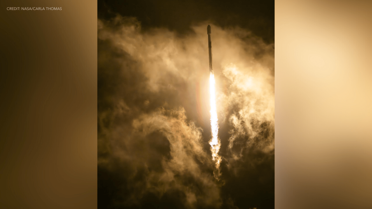
 The Sentinel-6B satellite lifted off aboard a SpaceX Falcon 9 rocket from Launch Complex 4 East at Vandenberg Space Force Base in central California at 9:21 p.m. PST on Nov. 16. Credit: NASA/Carla Thomas
“Moreover, because water expands as its temperature increases, researchers can tell which parts of the ocean are warmer than others based on where the sea surface height is greater,” experts explained. “Combined with data from other instruments, that knowledge can help in forecasting marine weather, including the development of hurricanes, which intensify with warmer water. [Since] large currents are taller than surrounding waters due to their higher temperatures, sea surface measurements can shed light on interactions between the Gulf Stream, for example, and nearby waves. Where they meet, seas can become rougher, presenting a hazard to even the largest ships.”
The satellite came together from a collaboration between NASA, the European Space Agency, the European Organization for the Exploitation of Meteorological Satellites and the National Oceanic and Atmospheric Administration.
JPL, a division of Caltech in Pasadena, contributed three service instruments for each Sentinel-6 satellite, which were the Advanced Microwave Radiometer, the Global Navigation Satellite System Radio Occultation and the laser retroreflector array.
More information about the Sentinel-6B mission can be found here.
Suggest a Correction
Close Modal
Suggest a Correction