
The largest snowstorm so far this season on Colorado’s Front Range came to an end on Wednesday night, and some impressive snow total results have come in from many different areas. In the hardest hit areas, snowfall numbers reached near a foot.
The blast of moisture that moved in overnight, coupled with colder temperatures, made road conditions slick and icy and brought traffic to a crawl at times. No large school districts in the Denver metro area called off classes for the day, but many districts in the Colorado Springs area to the south went on a delayed start Wednesday morning. Some schools will also be on delayed start on Thursday morning. (See the full list.)

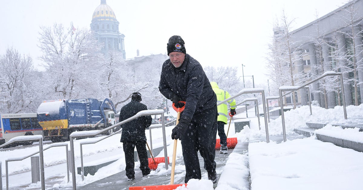
Tom Persichetti, front, clears snow at Ralph L. Carr Colorado Judicial Center in Denver, Colorado on Dec. 3, 2025.
Hyoung Chang/The Denver Post via Getty Images
The largest snow total reading was in Genesee in Colorado’s foothills — 10.3 inches.
Other readings, as of 7:30 p.m., were as follows:
Arvada: 9.4
Bailey: 8.1
Aspen Springs: 8.0
Rye: 8.0
Louisville: 7.7
Nederland: 7.5
Niwot: 7.0
Littleton: 6.9
Kassler: 6.8
Evergreen: 6.8
Downtown Denver: 6.5
Black Forest: 6.4
Timnath: 5.0
Colorado Springs: 5.0
The official National Weather Service station for Denver, which is located at Denver International Airport, showed a reading of 4.3 inches. The airport was under a ground stop after nightfall due to icy conditions for a short time. Planes were being sprayed with deicer on the runway.
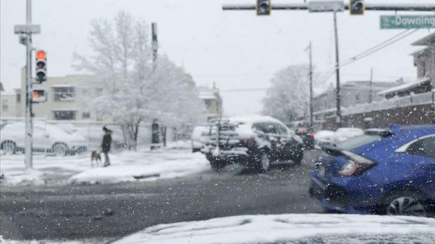
CBS
The storm rolled in from the Pacific Northwest into the Rockies and is departing to the southeast, bringing light snow as far south as Texas. A winter weather advisory for Denver expired at 6 p.m.
More from CBS News