
KARE 11 meteorologists say the last time daytime highs stayed below zero this early in the season was in 2000.
This week’s weather is just another layer to what will be the coldest and most snow-packed start to winter in decades.
It’s an even more abrupt change if you remember when it rained 1/2 an inch last Christmas.
“I don’t say brutally cold the first two weeks of December often,” says KARE 11 Meteorologist Ben Dery. “This weekend is going to be brutally cold.”
Dery says daytime highs Saturday and Sunday could stay below zero. The last time he says that happened this early in the season was 25 years ago.
Windchills could also fall into the double digits as well.
“It’s been awhile since we’ve seen temperatures this cold, this early in the season,” says Dery.
He says the average temperature right now should be closer to 32-degrees.
The change is even tougher when data shows the top five warmest autumns on record have happened in the last decade.
“You get acclimated to those warmer temperatures and you think you’re going to ease into the season, and then Minnesota says, nope, we’re going to change things up abruptly,” says Dery.
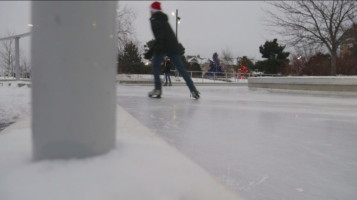
The taste of a traditional winter isn’t scaring people away from outdoor activities. Ice skaters flocked to the Central Park Ice Skate Loop in Maple Grove on Monday.
“This is not that bad,” said Jerald Jaynes, who’s originally from Hibbing. “Like, entirely negative is pretty normal for me.”
His partner, Lilia, is from southern California and said she had never been ice skating outside before, but still thought the setting was beautiful.
“It’s a good place if you’re someone outdoorsy,” she said laughing.
As for snow, the National Weather Service reports 89.4% of the upper Midwest region is already covered in snow.
This same time last year only 17% was covered.