
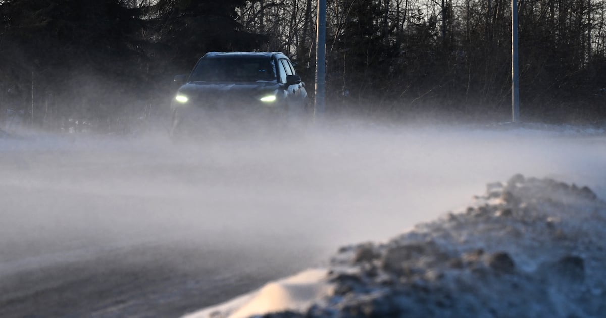
 Blowing snow crosses Mountain View Drive during the windstorm in Anchorage on Dec. 14. (Bill Roth / ADN)
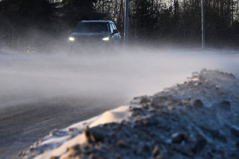
The Anchorage area could see between 2 and 4 inches of snow starting Friday, breaking up a long frigid and dry spell for Southcentral Alaska, according to the National Weather Service.
A low-pressure system in the Gulf of Alaska could potentially bring heavier snow for other parts of Southcentral Alaska, with the forecast calling for up to 4-6 inches for areas of the western Kenai Peninsula through Saturday.
The Mat-Su is also expected to see light snowfall, with accumulations of 1-2 inches expected for the Wasilla and Palmer area.
“Everybody should see a little snow,” said meteorologist Pamela Pietrycha, of the National Weather Service’s Anchorage office.
Now for the bad news: The Mat-Su will remain locked in the brutal cycle of howling high winds it has seen several weekends this month.
“They haven’t had the best of weekends for much of December,” Pietrycha said. “This weekend will be on par.”
Winds will pick up Saturday, with gusts increasing to 65-80 mph overnight and remaining strong into Monday throughout the Matanuska Valley, she said.
The last few windstorms did damage, and it won’t take as much to bring down weakened trees, Pietrycha said.
Areas of west and north Anchorage could also see some wind, but gusts should remain under 45 mph, according to the forecast.
Girdwood and Portage are also expected to see snow, possibly ending a Portage Lake weather window that has drawn hundreds to ice skate on the frozen lake in recent days.
People driving should be aware that light, fluffy snowfall combined with wind could cause problems with visibility, Pietrycha said.
The weekend snow doesn’t herald a major pattern change, according to Pietrycha. After the system moves through, the area will be back to the same deep cold and dry conditions that have dominated for most of the month.