
West Palm Beach, FLA. (WPEC) — South Florida will deal with gusty winds and hazardous boating conditions today as a weakening storm system moves through the region. After that, a stretch of warm and mostly dry weather settles in for much of the upcoming week.
Breezy conditions today
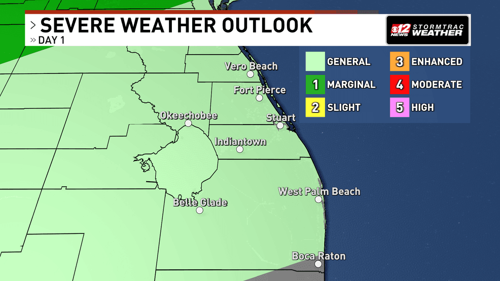
A weakening low-pressure system tracking east across the Southeast is dragging a cold front toward Florida. As this system shifts north and gradually loses strength, the main impact locally will be wind.
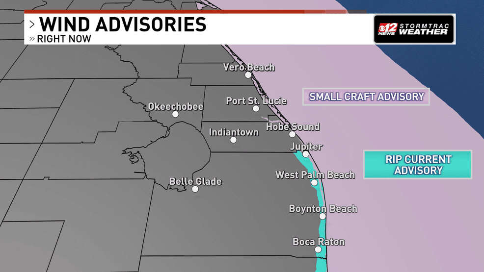
The difference in pressure between the departing ridge offshore and the approaching system will create breezy conditions today. Inland areas can expect wind gusts of 20 to 25 mph, with occasional gusts near 30 mph along the coast.
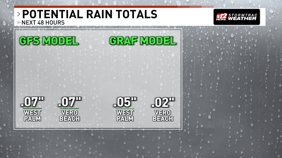
A broken line of showers will move across the state later today and tonight. However, with the strongest energy lifting north and limited instability in place, most of the rain will be light and scattered. A stronger storm is more likely to remain offshore over the Atlantic or Gulf waters. Widespread meaningful rainfall is not expected.
Breezy today, rough seas continue, warm and dry week ahead. (WPEC)
Breezy today, rough seas continue, warm and dry week ahead. (WPEC)
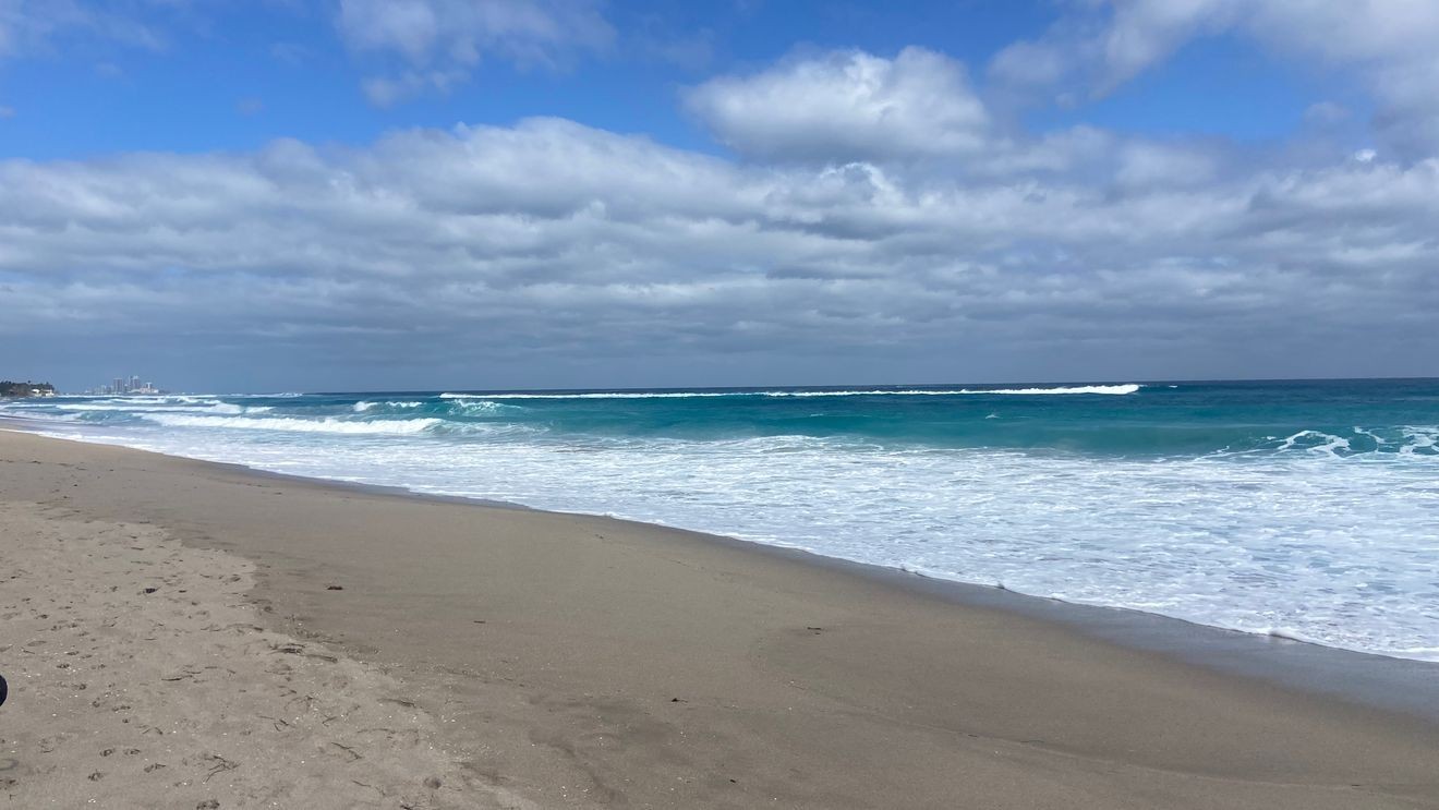
Hazardous marine conditions will continue across local waters through Monday morning due to the elevated winds and seas. Boaters will experience rough conditions, particularly offshore. A small craft advisory is in effect.
Breezy today, rough seas continue, warm and dry week ahead. (WPEC)
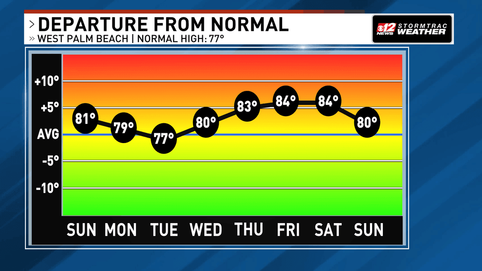
Warm and dry pattern returns next week
Behind the front on Monday, a broad ridge of high pressure will build across the Deep South and Florida. High pressure promotes sinking air and generally dry weather, and that pattern looks to dominate much of the week.
Winds will gradually shift from easterly early in the week to more southwesterly later on. Rain chances remain very low, aside from a brief, isolated shower here or there.
Breezy today, rough seas continue, warm and dry week ahead. (WPEC)
Temperatures will steadily climb through the week. Highs are expected to reach the upper 80s by late week, especially across interior areas. Forecast guidance suggests this warming trend could push temperatures into the top range of what’s typical for mid-February.