
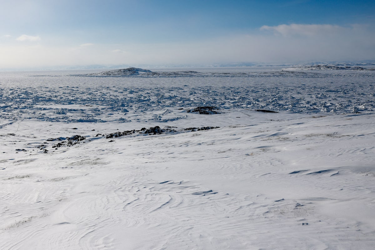
Frobisher Bay in Nunavut. A proposal for a road to better connect the isolated territory has been submitted, bringing the plan closer to reality.Carlos Osorio/Reuters
From its inception, Nunavut has been the distant north, a land of Inuit communities isolated from the basic elements of national infrastructure. No road reaches into the territory, leaving its people and natural resources dependent on expensive air connections or ships that can sail only when the Arctic ice pack allows.
Now, a decades-old plan to connect Nunavut to Canada’s highway system is taking an important step toward becoming reality.
On Sunday, the backers of the Grays Bay road and port project submitted a 5,000-page report to the Nunavut Impact Review Board that sketches a series of environmental and socioeconomic considerations for a project whose time, they believe, has finally come.
“There’s a lot more in front of us. But it’s a significant milestone,” said Brendan Bell, chief executive of West Kitikmeot Resources Corp., an Inuit-owned company that is backing the road.
With an estimated price tag of $1.2-billion, the project would etch an all-weather sliver of gravel through the heart of the Arctic mainland, traversing northward from near the site of the old Lupin gold mine, just across the boundary with the Northwest Territories, across tundra and eskers to the shores of the Coronation Gulf, one of the main waterways of the Northwest Passage. It would bisect more than a million square kilometres of Canada without a permanent highway, an area big enough to form the world’s 10th-largest country.
Its modest dimensions – just 230 kilometres in length — belie its importance. Backers of the project say it will unlock enough economic activity in Nunavut’s mineral-rich Kitikmeot region to lift the territory’s GDP by a fifth, supporting thousands of jobs and the extraction of billions of dollars’ worth of minerals from deposits that have already been discovered.
A port at its terminus would be the only deepwater harbour between Nome and Iqaluit, offering the prospect of Canada’s first highway-connected Arctic port capable of docking icebreakers, military vessels and bulk ore carriers.
That deepwater site is one reason for the proposed road’s unusual route, which would not touch any existing human settlement, although it passes by several prospective mineral resources. An all-weather connection to southern Canada would rely on the development of a parallel road that would extend north from Yellowknife; otherwise, the Grays Bay road would be connected to the rest of the country only in winter, when ice roads are built in the region.
Much remains uncertain, not least of which is who would pay for the project. Inuit groups hope Ottawa will ultimately cover 75 per cent of its costs. The federal government has already contributed $21-million, and the project’s backers are applying for a further $50-million in federal critical minerals infrastructure funding. Nearly $20-million in additional private investment will be needed merely to complete the engineering and permitting work.
Also uncertain are the conclusions that will be drawn by the many authorities who must still give their blessing to a road that will grant public access to a sprawling landscape that has remained largely unaltered by human hands.
Those promoting the project have been “very bold about what economic value it will bring,” but not “very clear about the ecological risk, climate risk and so forth that it will promote,” said Justina Ray, president of Wildlife Conservation Society Canada, which has submitted public comment on the Grays Bay project.
Not only would the road open a pioneering land route into important habitat for caribou, grizzly bears and muskoxen, it would encourage increased marine traffic through waters that today see few vessels.
The Bathurst caribou herd has already plunged in size, from 470,000 in the mid-1980s to just 3,609 animals last year.
“The process that’s happening right now is too quick and ill-considered,” Ms. Ray said.
But supporters of the road, which could begin construction as early as 2028, say risks can be managed. The route has already been changed from an earlier proposal that would have crossed caribou calving grounds. With mitigation measures, “the project will not have significant negative effects that cannot be avoided with the measures proposed,” West Kitikmeot Resources said in a statement.
The value of the road, its backers say, has taken on added importance amid the geopolitical ruptures of the past year.
“What was initially conceived of as infrastructure to support critical mineral development has become almost equally motivated by our need to project sovereignty, security and safety in the region,” Mr. Bell said. He hopes the military will become an anchor tenant for the port.
The Northwest Passage – or passages, since there are multiple routes through the Arctic archipelago – lies at the heart of a longstanding dispute with the U.S., which considers it an international waterway. Canada claims those waters as internal, subject solely to Canadian control.
For Inuit communities, the road offers the possibility of more reliable goods delivery in summer to villages that must now wait for sealift deliveries from Montreal.
It also raises the possibility of a new role for Nunavut in the country.
“There were rails and roads built to Western Canada before there were towns and cities in Western Canada, and that spurred the growth of the Canadian country to the west. This would be just a newer version of that,” said Fred Pedersen, a former executive director of the Kitikmeot Inuit Association who is now a member of the territorial legislative assembly.
He compared the state of Canadian Arctic infrastructure with the vast networks of roads and ports built in places such as Russia and Greenland, where he was born.
It’s ”about time” for a road to Nunavut, he said. “The North has much to offer to Canada – and Canada has much to offer the North.”