
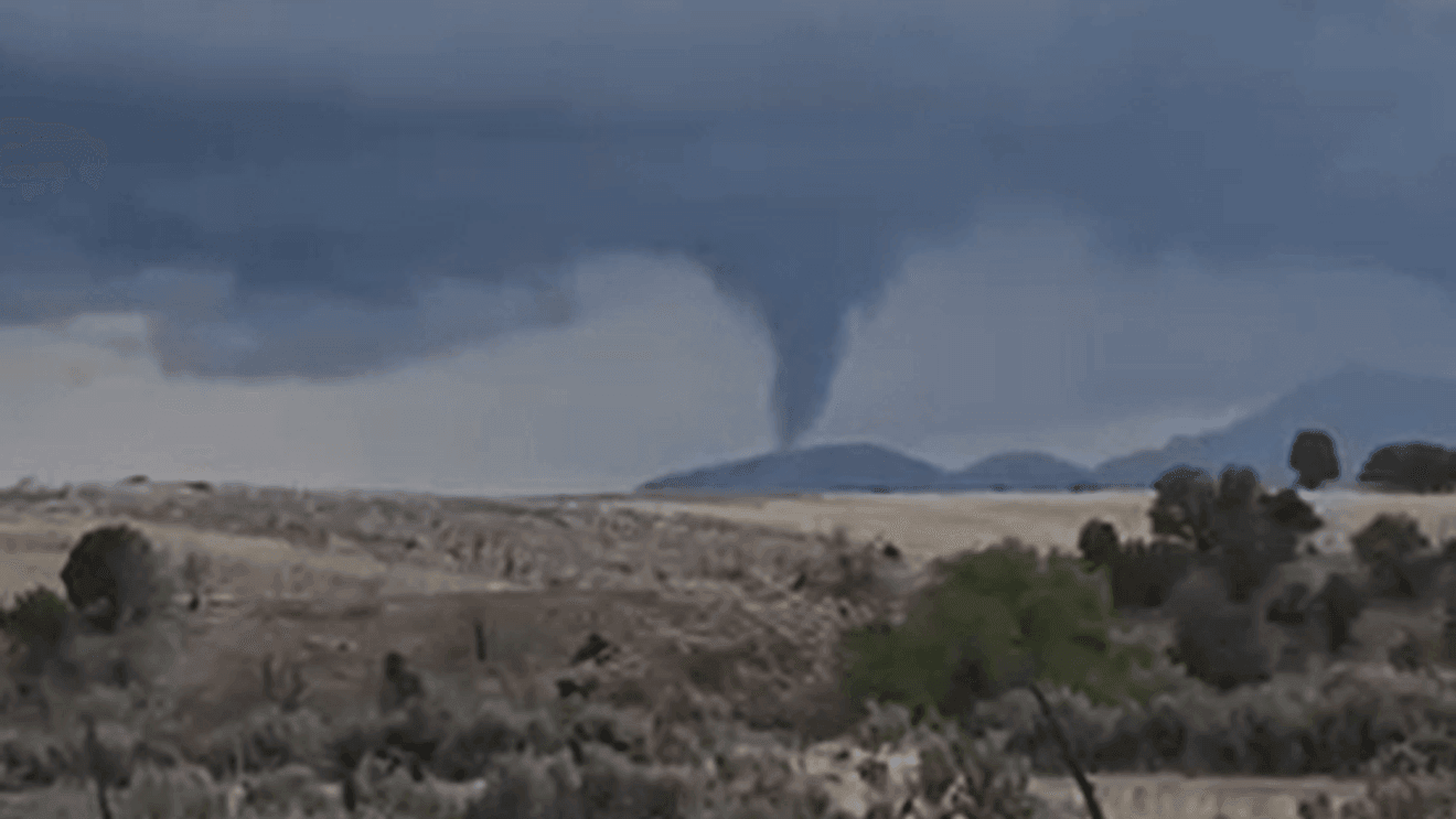
FILLMORE, Utah (KUTV) — A possible landspout appeared to be forming in central Utah on Monday.
The funnel began forming just around 3:20 p.m. on April 27 as storms moved throughout the state.
In a video shared with KUTV by Mindy Cannon, the funnel cloud can be seen extending toward the ground.
According to the National Weather Service, a funnel cloud is a rotating column of air that extends from the base of a storm cloud but does not make contact with the ground. While they are often harmless, if they touch down to the ground, they could be classified as a tornado.
KUTV Meteorologist Sean Kelly said it did appear that Monday’s funnel cloud in Fillmore touched the ground and may have been a weak tornado, though it had not been confirmed as of Tuesday morning.
Earlier this month, a rare tornado was confirmed in northern Utah near the border between Cache and Rich counties.
That tornado, rated as an EF-1, touched down in an wooden area about a mile south of Highway 89 in the Hodges Canyon area.
National Weather Service officials said that the tornado had sustained winds between 86 and 110 miles per hour and lasted about two minutes. While several trees were damaged, no injuries were reported.
_____
Comment with Bubbles
JOIN THE CONVERSATION (1)
Heidi Hatch and Jared Turner contributed to this report.