
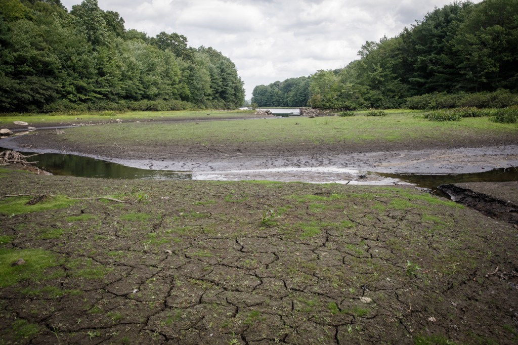
AccuWeather meteorologists say that it is increasingly likely that a rare “Super El Niño” may form over the eastern Pacific Ocean this month, bringing potentially a milder and drier year for much of the Northeast, increasing chances of drought and fire risk.
El Niño is a periodic warming of water in the central and eastern equatorial Pacific Ocean that can affect global weather patterns for months, according to Tyler Roys, senior meteorologist with AccuWeather. There have been 27 El Niños since 1950, with one happening on average every three to four years. The last one, a mild El Niño, happened from summer 2023 into early spring 2024.
The latest probabilities from NOAA’s Climate Prediction Center indicate a 61% chance of El Niño developing this spring into early summer and a 25% chance of a very strong El Niño by the end of the year. Roys said that AccuWeather forecasts suggest there is at least a 20% chance this El Niño could become a “super El Niño,” one in which ocean surface temperatures are at least two degrees warmer than average. The last Super El Niño occurred in 2015-16, Roys said.
“El Niño is the warming of the Pacific Ocean waters near the Equator,” Roys said. “What we’re looking for to declare a Super El Niño is water temperatures two degrees above the historical average. When you think about it, that doesn’t seem like a lot, but when it comes to sea surface temperatures and historical averages, two degrees actually does happen to be a lot. We are anticipating that we will declare an El Niño later this month, and we may see a rare Super El Niño. The chance is higher this year.”
What to know about the predictions for a potentially record-breaking El Nino
Roys said that while El Nino’s are rare, Super El Nino’s are even rarer. There have been only five documented since 1950, including 2015-16, 1997-98, 1991-92, 1982-83 and 1972-73.
The stronger the El Niño, the greater the possible impact on global weather patterns, Roys said. In the northern part of the United States, including the Northwest through the Rockies and into New England, a strong El Niño year could bring a more dry and milder winter season. But a wetter winter usually is the result across the southern tier of states from parts of California and the Southwest to Florida and the Southeast, he said.
“Where we see the biggest impact is on the tropics. It increases the frequency of wind bursts and that impacts tropical storms, depressions, and major hurricanes. El Niño weakens tropical trade winds that usually flow east-to-west and can reserve them, impacting global weather patterns,” Roys said. “In the Atlantic, this often means more sinking air and stronger winds, which usually result in a more quiet hurricane season.”
Roys said is that in stronger El Niño years, the Atlantic rarely sees major hurricanes. Although, hurricanes are still possible, as several formed in the Atlantic basin in 2023-24 during the last El Niño year.
“The good side is we typically don’t see a big impact on the Northeast until the fall and winter time,” Roys said. “We start to see some impact of El Niño around the beginning of fall in September. During the winter months, there are usually less snow impacts and drier conditions. Perhaps some storms will be more mixed weather events with snow and rain. On average, winters tend to be more mild during strong El Niño years in the Northeast.”
While the East Coast may get spared from a busy hurricane season, the wildlife threat will continue to persist, Roys said. Nearly the entire state of Connecticut is already in abnormally dry conditions, according to the U.S. Drought Monitor. The state’s wildfire risk remains moderate, according to the state’s Forest Fire Danger Report. But a strong El Niño year could mean dry conditions persist, even into the fall and winter months, creating hazardous fire conditions.
During El Niño years, summers often become hotter and more humid in the north, with higher frequencies of heavy rain events. But Roys said that those rain events often are quick and not sustained over several days, meaning moisture may dry out. But the possibility for more intense thunderstorms is greater this summer.
“We are forecasting that dry conditions will likely continue to persist through the summer,” Roys said. “There are many factors at play and not just El Niño. We don’t see drought conditions quickly disappearing looking at our long range models. We do see some possibilities for intense thunderstorms forming but not sustained rainfall events. We are predicting a drier first half of the summer season, which could have impacts on wildfire activity.”
“Right now, leaves have not fully formed, meaning the sun is penetrating the forest floor. Dead leaves, twigs and brush make the forest ground potentially vulnerable to fires. That risk should lessen a bit once the trees have fully matured leaves,” he said.
Stephen Underwood can be reached at sunderwood@courant.com.