
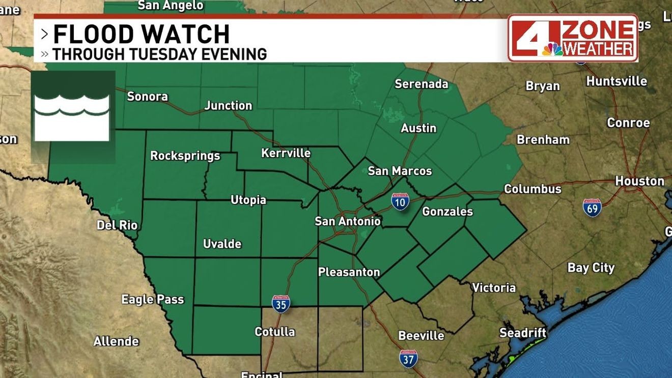
SAN ANTONIO – A Flood Watch was issued for San Antonio and surrounding counties in our viewing area through Tuesday evening. Most will see 1″ – 3″+ rainfall in watch but isolated amounts of 5″ – 8″+ are possible.
CLICK HERE to track the rain with our interactive radar…
Flood Watch until Tuesday evening
An extremely high amount of moisture or water in the atmosphere is pumping into the area courtesy of remnant circulation of Tropical Storm Cristina which is a shell of itself in Mexico now plus an incoming front Monday guiding this moisture over our region. Today we will see scattered showers or t-storms in the area to start the active stretch. The rain chance will be held at 40% today (higher in eastern counties). While there isn’t much of a severe risk, any storm will be capable of dropping heavy rainfall in a short amount of time.
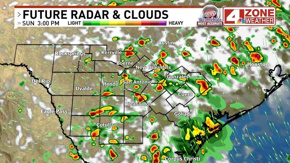
Future radar later this afternoon
More scattered showers or thunderstorms tonight and Monday in our region. Again, extremely high rainfall rates possible in these storms which can quickly add up especially if the storm is slow moving or storms are training over the same area.
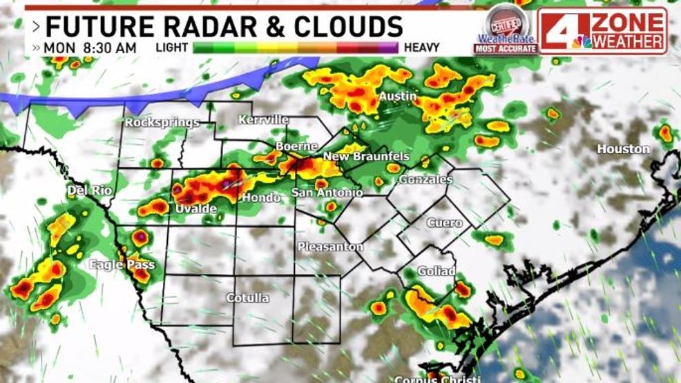
Future radar Monday morning
Comment with Bubbles
JOIN THE CONVERSATION (1)
Ultimately, the weak mid-level circulation from TS Crisitna will move up the Texas Coast toward Louisiana by end of the week. This will consolidate the heaviest rain toward the coast Wednesday and Thursday where 7″ or more inches off rain will be very possible.
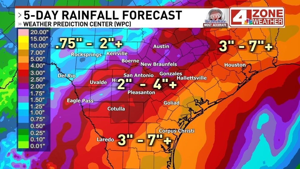
Forecast rainfall next 5 days from NOAA’s Weather Prediction Center (WPC)