

NorCal forecast: Another hot weekend and Sierra storm chances
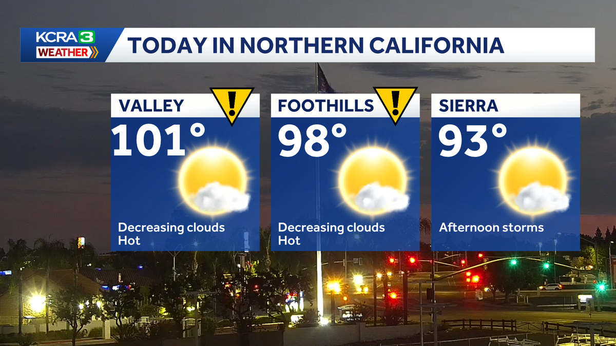
Both Saturday and Sunday are KCRA 3 Impact Days for the heat in the Valley and Foothills. There is a slight risk for thunderstorms in the Sierra in the afternoon.
It’s going to be another hot weekend, and both Saturday and Sunday are IMPACT DAYS for the Valley and Foothills. Afternoon highs in the Valley will be between 100-105° and highs will be in the upper 90s for the Foothills.
There are quite a few clouds in the region this morning and even a few sprinkles in the Sierra. Clouds will decrease for the afternoon in the Valley and Foothills but increase in the Sierra with a slight risk for thunderstorms. Any storms that do occur will mainly be along and south of HWY 50, primarily on the Eastern slopes, and will likely remain below severe limits. Lightning is a possibility, however, increasing the chance for fires. Similar conditions are expected in the Sierra on Sunday.
Temperatures will gradually cool during the workweek, possibly dropping below normal by Friday.
Hot Saturday
Valley highs are expected to top out between 100-105 while the Foothills expects upper 90s
Farmer’s Market
If you plan to pick up some fresh produce at the Midtown Farmer’s Market, go early! Temperatures will rise quickly.
Thunderstorm Outlook
Any storms that do occur will mainly be along and south of HWY 50, primarily on the Eastern slopes, and will likely remain below severe limits. Lightning is a possibility, however, increasing the chance for fires. Similar conditions are expected in the Sierra on Sunday.
Long Range Outlook
Near normal temperatures are expected
Foothills & Sierra 7 day forecast
Cooler weather develops by the end of the workweek
Valley 7 day forecast
Saturday and Sunday are both Impact Days, but cooler weather arrives by the end of the week.