
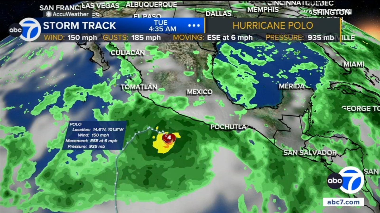
Another hurricane churning in the Pacific Ocean could unleash another round of rough weather along the Southern California coast by early next week.
Hurricane Polo, which strengthened into a Category 5 storm Tuesday, is expected to bring heavy rain to southwestern Mexico but remain offshore.
But as the system moves north, following a similar path to Hurricane Marie, there is a chance Southern California could see heavy humidity and rough weather. Polo is expected to bring hazardous rip currents and the potential for high surf and large swells to the region’s already battered coast by Tuesday and Wednesday of next week.
Polo had maximum sustained winds of 160 mph, the U.S. National Hurricane Center in Miami said.
Hurricane Polo’s impact on Mexico
Polo was moving east-southeast at 5 mph and was forecast to sharply turn northwest and west-northwest. On that path, Polo would skirt the Mexican coast for a few days without directly making landfall.
A tropical storm watch was issued for part of the coast south of Manzanillo in Colima state to Tecpan de Galeana in Guerrero state, meaning tropical storm conditions were possible in the area within two days. Polo was centered about 330 miles south-southeast of Manzanillo as of late Monday.
Heavy rain with the potential for flooding and landslides was forecast for coastal Guerrero and Michoacán states through Thursday. Smaller amounts of rain were possible in coastal portions of Oaxaca, Colima and Jalisco states.
The Associated Press contributed to this report.
Copyright © 2026 KABC Television, LLC. All rights reserved.