This article sponsored in part by:
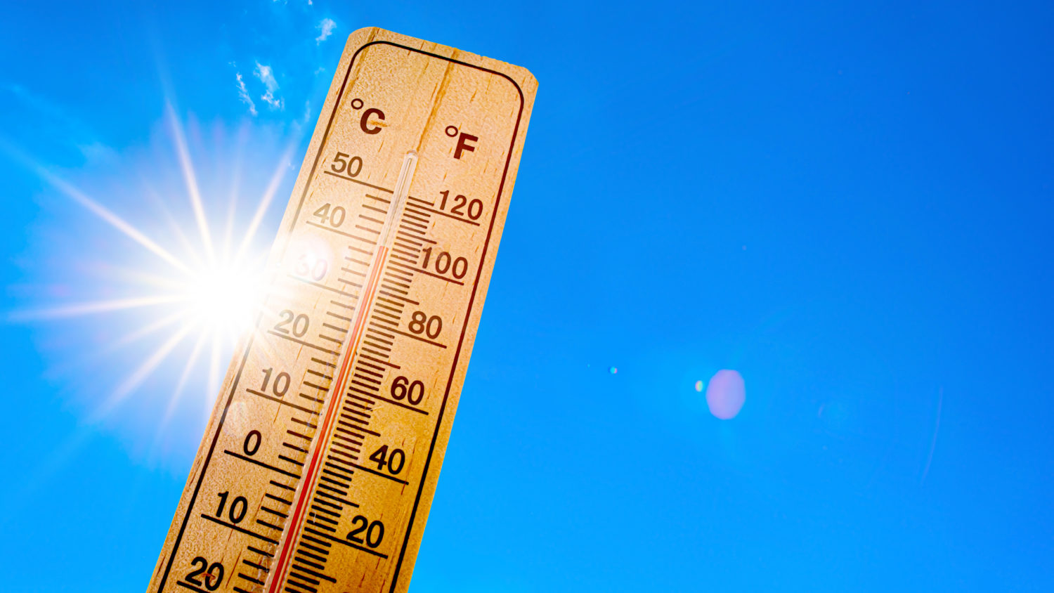
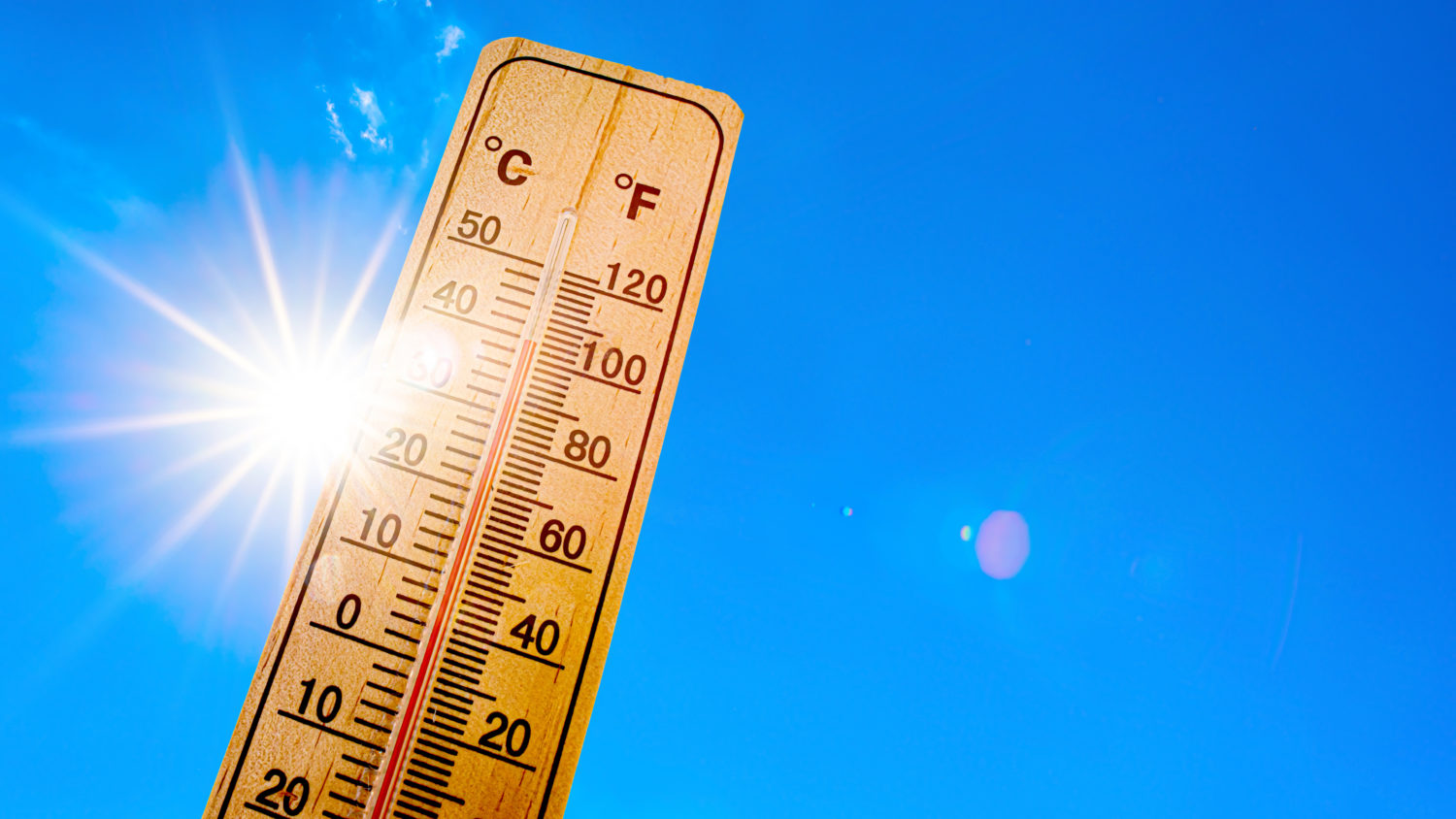
Yes, it really is that hot. Downtown Los Angeles hit 104 on Monday, breaking the Oct. 5 record of 101 and marking a fourth straight day at 100 or higher. The National Weather Service says no October on record has produced a hot-streak that long, and forecasters expect it to run a few days more.
Downtown L.A. was one of seven Southland stations to break or tie a daily record Monday. Woodland Hills reached 106, Long Beach Airport 104, Burbank 102 and LAX 101.
Giant Hot Bubble
Strong high pressure is parked over Southern California, and the wind near the ground is blowing weakly from land to sea. That is backwards. We lose the sea breeze that normally bails out in the Pasadena area.
There is no marine layer at all. Readings at LAX late Monday night showed 90-degree air sitting 1,500 feet up, which is why nights are not cooling off and why we’ve been stuck in the 80s after dark.
Forecasters say the immediate coast and inland spots below 500 feet may shave off a degree or two over the next few days. South Pasadena sits above that line.
The Heat Danger Warning Is Real
An Extreme Heat Warning covers the San Gabriel Valley, South Pasadena included, until 8 p.m. Thursday. Highs across the coasts and valleys are running 15 to 22 degrees above normal.
As of late Monday the weather service had no Red Flag Warning posted for the area.
Weather Forecast Temperatures Coming Up:
• Tuesday, Oct. 6. Sunny and dangerously hot. High 100 to 104. Overnight low in the upper 60s to mid 70s.
• Wednesday, Oct. 7. No change. High 100 to 104. Another warm night.
• Thursday, Oct. 8. Still hot, maybe a degree or two off the peak. Upper 90s to 103. The warning expires at 8 p.m.
• Friday, Oct. 9. The high pressure starts to break down. Mid to upper 90s, which is still 6 to 12 degrees above normal.
• Saturday, Oct. 10. Real cooling. A low pressure system drops down the coast and the sea breeze comes back. Upper 80s to low 90s.
• Sunday, Oct. 11. Low to mid 80s. A 20 to 30 percent chance of showers as that low pulls moisture north from Hurricane Rachel. It all depends on the storm’s track.
• Monday, Oct. 12. The cooler pattern is expected to hold. Forecasters have not attached detail yet.
• Tuesday, Oct. 13. Past the edge of the official seven-day forecast. No numbers yet.
The Beach Is Hot Too
The coast has not been much of an escape, with LAX at 101 on Monday. Now Hurricane Rachel is sending swell north. It arrives late Tuesday.
A Beach Hazards Statement begins at 4 p.m. Tuesday. A Coastal Flood Advisory follows from 6 a.m. Wednesday through 11 p.m. Friday for the Los Angeles County coast. Long Beach, Catalina Island and the Malibu and Zuma stretch are expected to take the worst of it. High tides will run 6.5 to 7 feet, climbing above 7 feet over the weekend.
Ride It Out
Three more days of triple digits. Friday is hot but survivable. The weekend is the payoff. Check on the neighbors who do not have air conditioning.
Source: National Weather Service Los Angeles/Oxnard, forecast discussion issued 10:44 p.m. Monday, Oct. 5.