
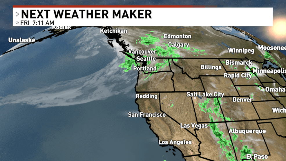
REDDING, Calif. — A rare and rather strong August atmospheric river has slammed into the Pacific Northwest over the past 48 hours, bringing widespread rain and even high elevation snow to portions of Washington and Oregon! And while we’re generally on the outside looking in, a little taste of fall is still on the menu.
Light rain is expected to move through the North Coast over the first few hours of the day Saturday, with Del Norte County seeing the bulk of the shower action as compared to Humboldt Bay. Even still, most models keep rain numbers below a tenth of an inch in our coastal counties. The best chance to push above this threshold will be seen across the windward slopes of the interior, where moisture is forced out thanks to lifting along the terrain.
By the late morning hours, we’re anticipating showers across Siskiyou and Trinity Counties that may develop into thunderstorms later in the afternoon. Overall rain expectations are in the 0.10-0.25” ballpark in places like Hayfork, Weaverville, and Mount Shasta City, but we will likely see locally higher totals in areas hit with thunderstorms. Just for fun: we’ll likely see a fresh coat of snow for the very top of Mount Shasta out of this wet weekend, with snow levels expected to be around 11,500-12,500 feet on Saturday.
Most of the precipitation in Shasta and Tehama Counties will be felt in the far western mountains and foothills over the afternoon and evening hours, but Redding and Red Bluff have a chance at rain of their own. This is most likely in the 6 PM to 10 PM window, with isolated showers and thunderstorms continuing overnight into eastern Shasta County. Expect places like Redding and Red Bluff to see very little in the rain gauge — likely less than 0.05”.
Further south, communities like Chico and Willows will make it through the day with no rain and not too many clouds either. That said, as moisture rolls into the region, we’ll see the comfortable-sounding temperatures (which top out in the upper 80s to about 90) feel a little less wonderful thanks to higher humidity. Expect a dry but slightly sticky evening in Butte and Glenn Counties.
Isolated mountain thunderstorms will continue on Sunday, with the main focus over eastern Shasta and Modoc Counties. Behind the rain, expect the valley to see slightly cooler high temperatures for the second half of the weekend. If you’re more a fan of that summer feeling, hang in there: a modest heat wave is headed our way for the second half of next week.
For the latest on local weather conditions, be sure to download the free KRCR Weather app, available on the Apple App Store and Google Play Store.