
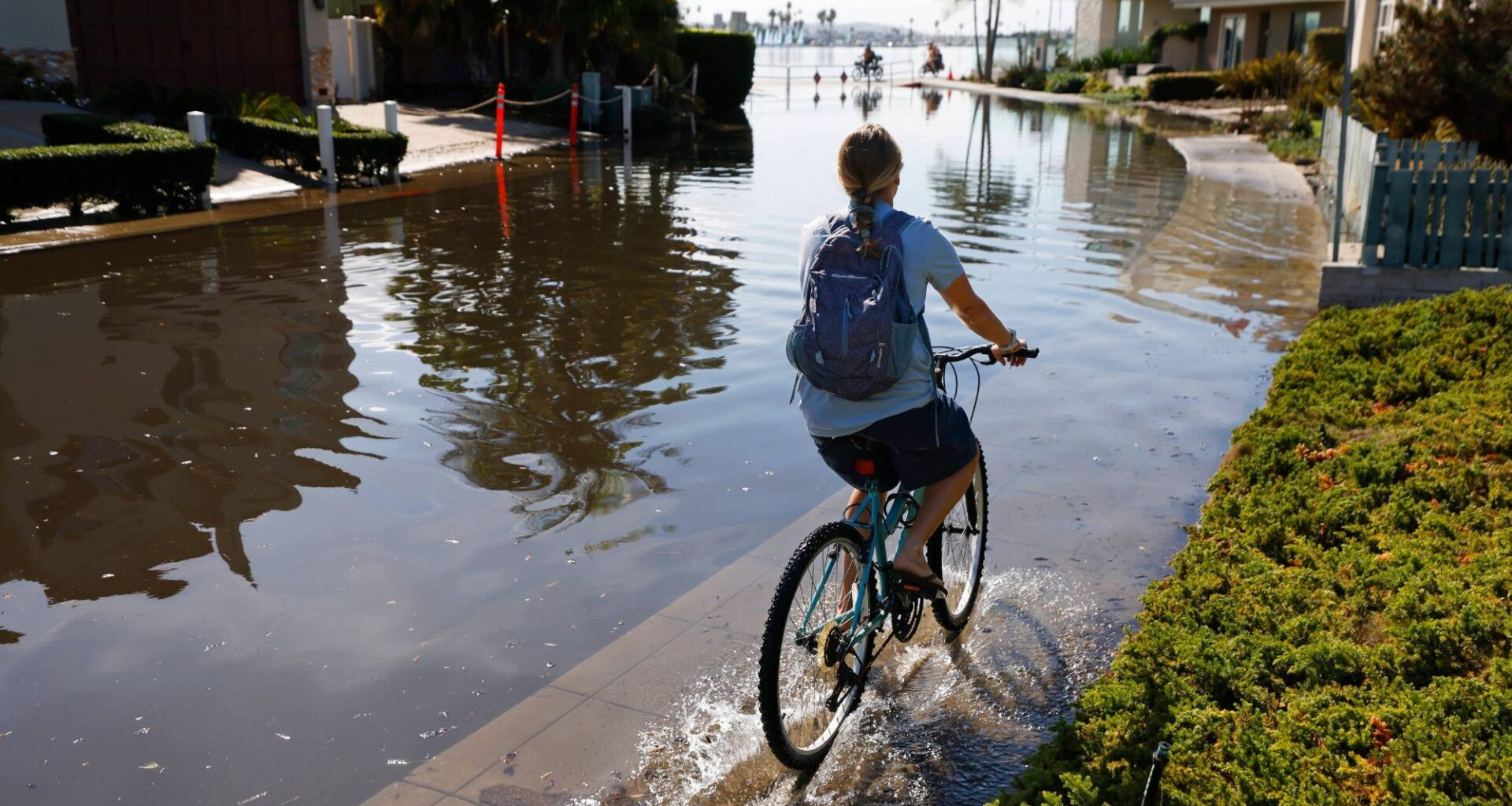
A confluence of events could produce coastal flooding this weekend in San Diego County at the same time that people head to local beaches to escape temperatures in the mid-to-upper 80s, the National Weather Service says.
Forecast models suggest that a high-pressure system and dry San Ana winds is expected to raise San Diego’s daytime high to 79 on Friday, 83 on Saturday and at least 85 on Sunday. The seasonal high is 73.
This will occur as the morning high tides on Saturday and Sunday climb 1.4 feet to 1.7 feet higher than normal due to the effects of El Niño and a marine heat wave that occurred earlier this year.
The tides could reach 7.5 feet to 7.7 feet, enough to cause minor coastal flooding, the weather service said. There’s also concern that a major ocean swell could produce 6-foot to 7-foot waves, which would make things even worse.
“The water will go farther up the beach if that happens,” said Samantha Zuber, a weather service forecaster.
Kevin Wallis, a forecaster at Surfline, said, “I think that’s a reasonable forecast for the larger waves in San Diego this weekend. There will be a mix of northwest and southwest swells, with the largest waves showing in South County (south of Del Mar) off the northwest swell.”
Forecast models are subject to regular and sometimes major change. Last Saturday, for example, the weather service greatly reduced projected rainfall for San Diego when the models indicated that an incoming storm had shifted direction.
But this early forecast is a matter of concern. NOAA says El Niño is still gaining strength, enhancing its ability to hit large areas. A subtropical jet stream recently formed between Hawaii and California, which will help direct some storms directly into Southern California.
Forecasters did find a bright spot, noting that recent rains will reduce the chances that the incoming Santa Ana winds will spark wildfires.