
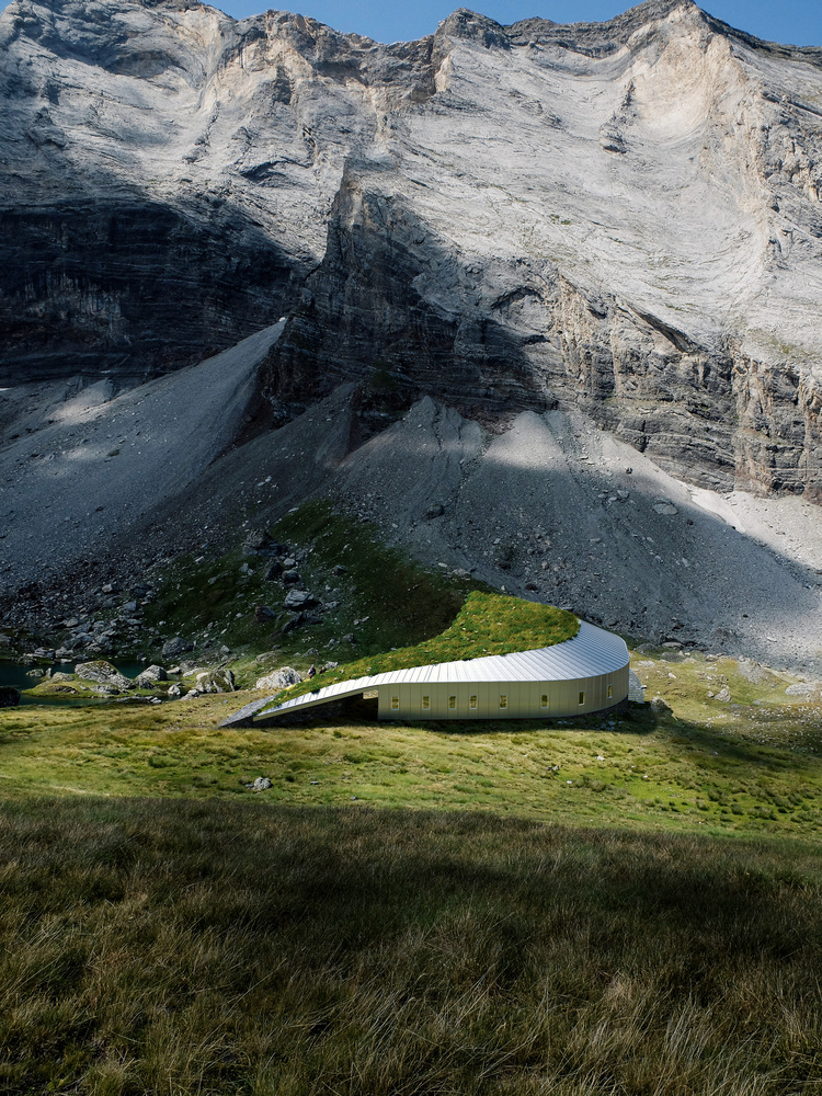
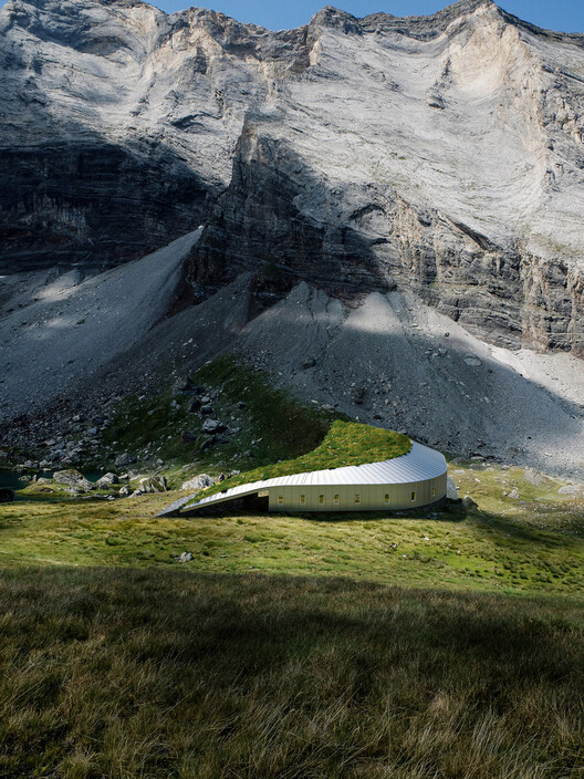
 Refuge de Barroude. Image © Snøhetta
Share
Or
https://www.archdaily.com/1032034/mapping-as-design-a-resource-based-approach-to-rural-design-in-the-united-states
In 1982, at a conference on earth building in Tucson, Arizona, an unusual presentation challenged everything architects thought they knew about rural resources. Instead of focusing on construction techniques, the presenter, architect Pliny Fisk III, spread out a series of hand-drawn maps that revealed something extraordinary – rural Texas wasn’t resource-poor, as conventional wisdom suggested, but material-rich beyond imagination. The maps showed volcanic ash perfect for lightweight concrete, caliche deposits stretching across vast territories, and mesquite forests that could supply both hardwood flooring and insulation. The revelation redefined prevailing notions of value in architecture.


Where others saw barren land, careful documentation revealed abundance. Where the profession saw the need for steel and concrete trucks, the maps revealed bamboo groves and limestone deposits. It opened up a new visual and conceptual language for engaging with what would otherwise be termed as “alternative architecture”. The maps served as resistance against an architectural establishment that had trained professionals to see rural landscapes as empty spaces, waiting to be filled with imported materials.
 Cave House in Loess Plateau / hyperSity Architects. Image © hiperSity Architects
Most American architects today navigate the world through a narrow lens regarding materials. Standard resource maps focus on industrial supply chains, shipping routes, and manufacturing centers. They privilege materials that can be mass-produced, standardized, and shipped globally. Local materials, if they appear at all, are relegated to the margins as alternatives or specialty products.
Related Article Forest-to-Frame: LEVER Architecture on Regenerative Design and Material Sourcing
This “importation thinking” reflects deeper colonial patterns in architecture. Rural areas become extraction sites where raw materials are harvested and shipped to urban centers for processing and consumption. The knowledge systems that could transform these materials locally remain invisible to professionals outside these regions. For example, a Texas rancher might know exactly which clay deposits work best for earthen plaster, but that knowledge doesn’t translate into architectural supply catalogues. The maps that architects use are focused on urban supply chains and industrial materials and are making rural abundance invisible.
Fisk’s methodology with the Texas mapping project went beyond documenting where materials existed to record quantities and processing possibilities. Most importantly, it documented the networks of local knowledge that could transform raw materials into building components. Rather than merely documenting deposits, he identified local extractors, fabricators, and masons who understood how to work with these materials.
 Mass Timber Portland map. Image © LEVER Architecture
By layering maps of different materials, researchers could identify “areas of rich coincidence” – places where multiple resources came together to enable entirely new approaches to building. In South Texas, for instance, locations were identified where volcanic ash, caliche, and lime deposits converged, creating possibilities for foundations, walls, and lightweight roof blocks all sourced within a few miles. Material convergence in the landscape made construction immediate and local. This approach revealed what came to be called “spatial coincidence” – the recognition that sustainable building wasn’t just about individual materials but about understanding how local resource systems could work together.
Using this methodology, a prototype building employed mesquite for flooring and insulation, caliche for thermal mass, and bamboo for structural reinforcement. A trickle-roof system transformed the structure into a climate-control device powered solely by physics and locally sourced materials. The building’s performance stood out, with its roof system radiating up to 100 BTU per square foot to the night sky, offsetting the typical heat gain of a well-insulated structure. The real innovation was systemic – the building demonstrated how local materials responded to both environmental and economic needs.
Contemporary Parallels and Digital Possibilities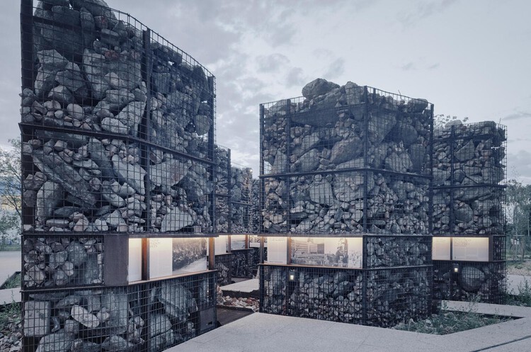 “Park at the Warsaw Uprising Mound” in Poland by studios topoScape and Archigrest. Image Courtesy of The European Prize for Public Urban Space
Today’s digital tools offer new opportunities to extend this vision. Indigenous communities worldwide are using Geographic Information Systems (GIS) to document traditional ecological knowledge and assert land rights. Scholars refer to this practice of visualization to challenge official representations of landscapes as “counter-mapping”. Contemporary mapping projects reveal relationships and possibilities often overlooked by mainstream planning, extending beyond simple documentation. Indigenous mapping systems demonstrate how technology can amplify rather than replace local knowledge systems. They enhance modern conservation planning by integrating traditional ecological knowledge with scientific data management.
The Texas prototype became a proof of ecological land planning. The approach starts with understanding local resource systems before designing a project. The project generated local employment in mesquite processing, caliche block production, and bamboo cultivation, empowering rural communities to drive sustainable development independently of outside investment.
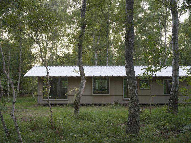 Between Birch House / Kim Lenschow + pihlmann architects. Image © Hampus Berndtson
The implications for the future of architectural practice are striking. Drone surveys could identify abandoned materials from demolished buildings. Soil sensors could map clay deposits suitable for earthen construction. Community science projects could document local processing knowledge and traditional building techniques.
The methodology has influenced a generation of practitioners working in bioregional architecture where mapping is leveraged as a design practice that can reveal new possibilities for how we build. It suggests the possibility of architecture that emerges from a place rather than being imposed upon it.
As transportation costs rise and supply chains become increasingly unstable, the ability to build with local materials is environmentally responsible and economically essential. Resource mapping transforms the designer’s role from importing solutions to revealing existing abundance. The cartographer works beyond documentation to be a facilitator of community self-determination.
 Roundhouse Works / Reed Watts Architects + Paddy Dillon. Image © Fred Haworth
In the American Southwest, architects are mapping adobe clay deposits and traditional building knowledge. In the Pacific Northwest, researchers document local timber species and indigenous processing techniques. In the Great Plains, projects explore the structural possibilities of prairie grasses and local stone. Mapping becomes a tool for revelation, showing us that the solutions to our most pressing challenges might already exist, waiting to be documented, understood, and transformed into the buildings we need.
This article is part of the ArchDaily Topics: Regenerative Design & Rural Ecologies. Every month we explore a topic in-depth through articles, interviews, news, and architecture projects. We invite you to learn more about our ArchDaily Topics. And, as always, at ArchDaily we welcome the contributions of our readers; if you want to submit an article or project, contact us.