
Hurricane Erin is making waves in the New York metro area, even as the megastorm is tracking far offshore.
The National Weather Service has issued a coastal flood watch for the southern shores of Brooklyn, Queens and Long Island for Thursday from 6 p.m. until midnight, and for most of the Jersey Shore through Friday.
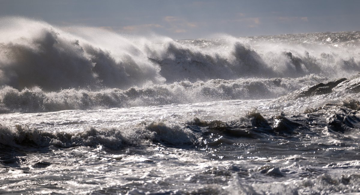
High-surf advisories are also in effect at regional beaches, with meteorologists predicting waves between 4 and 13 feet tall, and potentially up to 16 or 17 feet tall, this week. The biggest effects are expected Thursday night, and officials are urging people to stay out of the water amid life-threatening rip currents.
“There will be a possibility for widespread moderate coastal flooding, especially in vulnerable locations near the waterfront and shoreline,” said John Murray, a meteorologist for the NWS’ New York office. “Given how high the surf is, it’s very dangerous to be out there in the water.
He added that area beaches could be eroded by the supercharged tides, especially toward the eastern end of Long Island. Strong winds are forecast as well.
Separately, showers are set to pass through the area Wednesday, bringing locally heavy rain and chances of minor flooding through Thursday morning.