
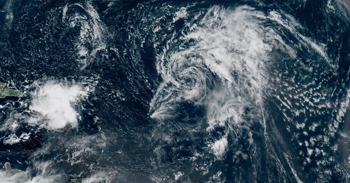
Tropical Storm Gabrielle formed Wednesday morning over the central Atlantic Ocean, becoming the seventh named storm of the 2025 Atlantic hurricane season. Forecasters expect the weather system to remain over open waters for the next several days and haven’t yet warned of any hazards that could potentially affect land.
Gabrielle is forecast to become a hurricane by Sunday, according to the Miami-based National Hurricane Center.
The storm’s current forecast predicts that Gabrielle’s track will carry it north of the Caribbean and away from land, but the system could pass to the east of Bermuda next week as it continues to strengthen over the open waters of the central Atlantic Ocean, CBS News meteorologist Nikki Nolan said.
A map produced by Nolan shows Gabrielle’s anticipated path through Tuesday, at which point it may be packing hurricane-force winds. The storm could pass near the Caribbean as it strengthens on Sunday, according to the map. The forecast track shows Gabrielle remaining north of the Caribbean islands and away from land.

A map shows the potential path of Tropical Storm Gabrielle over the next several days.
Nikki Nolan for CBS News
On Friday morning, Gabrielle was situated roughly hundreds of miles east-northeast of the northern Leeward Islands and nearly 1,000 miles southeast of Bermuda. It was tracking west-northwest at 12 mph, the National Hurricane Center said, and was expected to make a “gradual turn toward the northwest” by Friday night.
Its maximum sustained winds were 50 mph, just over the threshold that differentiates a tropical depression from a tropical storm. Gabrielle grew from a tropical depression in the Atlantic that meteorologists initially flagged earlier on Wednesday.
Tropical-storm-force winds extended outward some 150 miles from Gabrielle’s center, the hurricane center said. The storm will likely continue to move west-northwest or northwest during the next few days, the agency said. There is “little change in strength” expected over the next 48 hours, but the center forecast “some gradual intensification” late in the weekend.
The storm may have some impacts to Bermuda early next week, Nolan said.

A map shows the earliest expected arrival times of tropical-storm-force winds for Tropical Storm Gabrielle.
National Hurricane Center
Gabrielle took shape about one week after what was historically considered the peak of the Atlantic hurricane season, which runs annually from June 1 to Nov. 30 and has in the past become most active around Sept. 10.
Officials at the National Oceanic and Atmospheric Administration initially predicted the 2025 season would be busier than usual and produce more named storms than an average year, but hurricane activity has so far been quieter than anticipated.
At the start of the season, NOAA’s outlook suggested that between 13 and 19 named storms would form in the Atlantic, with as many as nine strengthening into hurricanes and as many as five becoming Category 5 storms, which are the most powerful. The agency revised the outlook slightly in August, predicting that the season would see 13 to 18 named storms, including five to nine hurricanes, two of which could be major.
Of the six named tropical storms that have developed this year before Gabrielle, only one, Chantal, made landfall in the U.S.
contributed to this report.
More from CBS News