
(WLOS) — Pop-up storms are a regular part of summer in Western North Carolina. But not every area handles that rainfall the same way. Flood risk isn’t just about how much it rains…it’s about where it rains.
The more developed the land, the higher the flood risk. That’s because what’s on the ground plays a major role in how water behaves.
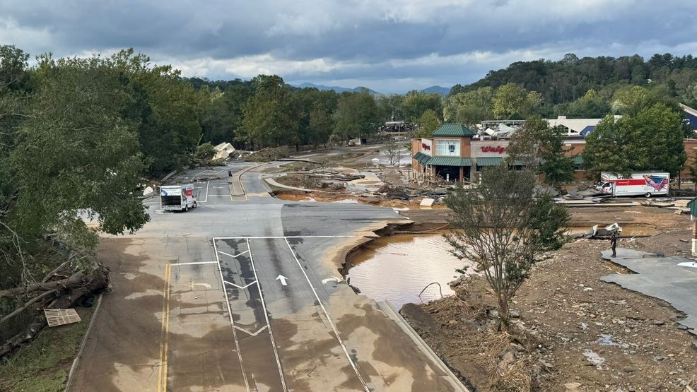
In cities, pavement, rooftops, and parking lots block rain from soaking into the soil. Instead, that water becomes runoff, which flows quickly into storm drains and typically floods low-lying streets.
Rural areas tell a different story. With more natural ground cover like forests, fields, and sponge-like soil, rain has a better chance to soak in. Flooding is less likely, unless the rain sticks around for hours.
Urban areas flood fast. Roads and sidewalks pool water quickly, and shopping centers with sprawling parking lots are especially vulnerable. Flash flooding can overwhelm city drainage systems in a matter of minutes.
Neighborhoods fall in the middle. Lawns and gardens help absorb water, but driveways and streets still push runoff into the storm system.
Parks and farmland handle rainfall more naturally. Trees, grass, and soft ground slow down water, which reduces flash flood risk. However, if the soil is already saturated before rainfall, flooding is still possible.
Topography makes a big difference. Western North Carolina’s steep slopes accelerate runoff. That rush of water can raise flood risk, especially when it funnels into already developed areas below.
Whether you live downtown or deep in the mountains, knowing your flood risk could be the key to staying safe.