
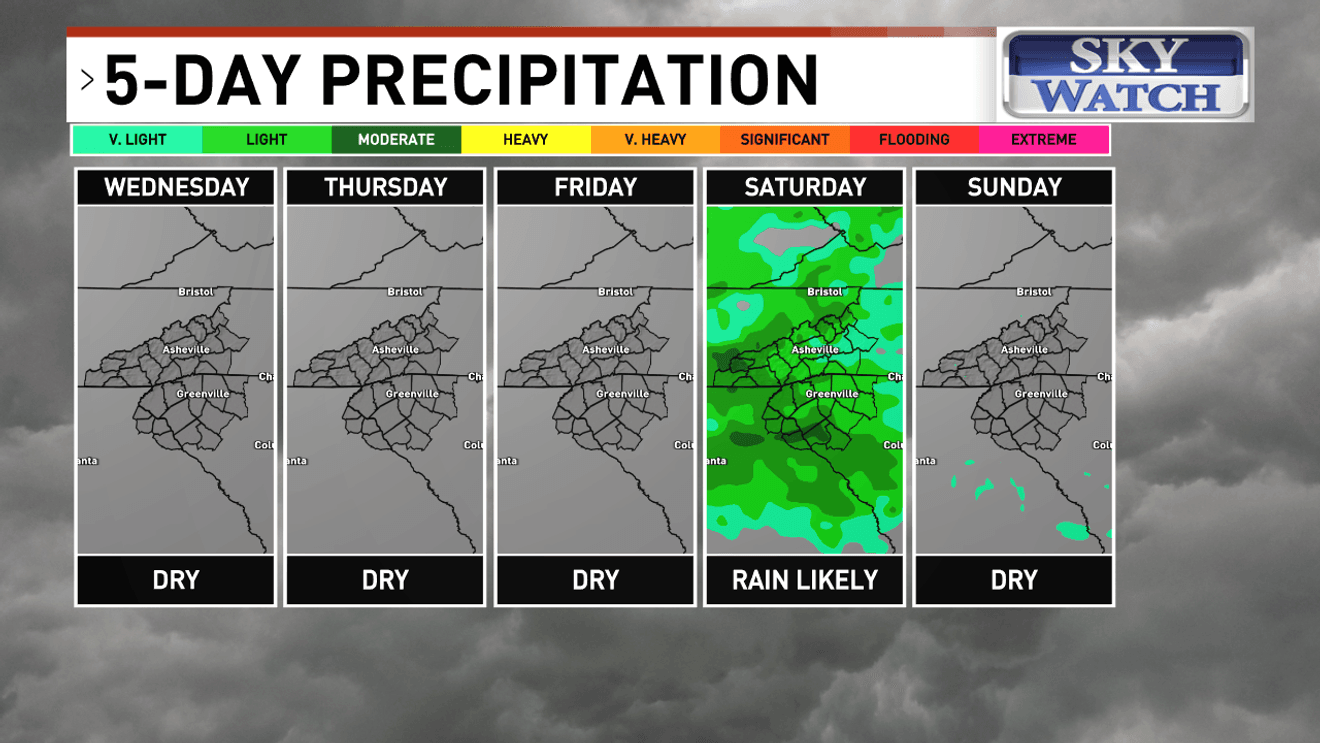
ASHEVILLE, N.C. (WLOS) — Rain chances are looking more promising for Saturday as a cold front moves into the mountains.
Temperatures will remain well above normal with dry conditions through Friday night. Critically low humidity will return each afternoon keeping fire concerns high through Friday.
Showers and a few thunderstorms are likely Saturday, mainly later in the day into Saturday night as a frontal boundary slips into the region. Rainfall amounts with this system look to be on the lighter side with less than a half inch in most areas.
SEVERE DROUGHT COVERS 100% OF WESTERN NORTH CAROLINA, UPSTATE
The front could stall nearby, keeping at least a chance of scattered showers in the forecast Sunday through Monday.
Computer models are hinting at another system that could bring more measurable rain Monday night and Tuesday.
This is seven days out, so you’ll want to stay tuned on rain chances early next week. Any amount of rain is a welcome sight, but it will take a longer term, wetter pattern to improve our worsening drought conditions.
Comment with Bubbles
BE THE FIRST TO COMMENT
Statewide burn bans continue in North and South Carolina until further notice amid extremely dry conditions.