
Introducing Selected Solutions from the 2024 Assessment
The 2024 SNWG assessment, designed to address the needs of federal agencies, concluded in May 2025 with the identification of six new solutions. These were among the most highly requested solutions to come out of the SNWG process to date, with the potential to meet hundreds of needs across the federal government and beyond.
10-meter Harmonized Landsat and Sentinel-2 (HLS) Product
This solution will build on the success of the existing Harmonized Landsat and Sentinel-2 (HLS) by providing harmonized, higher spatial resolution data at high temporal resolution for more efficient decision making across sectors such as agriculture and forestry.
The HLS dataset is a solution from the 2016 SNWG cycle that involves resampling 10 m and 20 m Sentinel-2 data to the geometry of 30 m Landsat data and then providing atmospheric correction of both datasets. The result is a near-daily, global dataset of surface reflectance at 30 m resolution that is compatible with Landsat’s historical data record. It is one of the world’s most distributed datasets and has applications across many thematic areas.
Agencies requested a 10 m version of HLS for better assessment of crop conditions, wildfire damage, coastal erosion, mining and reclamation resources, and disaster losses. This solution will also enable higher resolution downstream services, such as the SNWG OPERA Surface Disturbance and Dynamic Surface Water eXtent solutions that identify surface disturbance and surface water, respectively. It could also support geospatial foundation models.
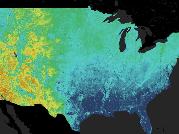
High-Resolution Harmonized Land Surface Temperature (LST) Products within HLS
This solution will further leverage the successes of HLS by combining it with other datasets to create a new 30 m harmonized land surface temperature (LST) product. Landsat has a thermal instrument; however, Sentinel-2 does not. Therefore, this solution will use thermal data from the Visible Infrared Imaging Radiometer Suite (VIIRS) and resample it to 30 m resolution. This will allow for the creation of a thermal dataset at the spatial and temporal resolution of HLS. High-resolution LST data have many downstream applications, including the widely used OpenET platform.
Agencies requested higher resolution LST data in order to characterize urban heat, model fire behavior, improve agricultural management activities on water use, and detect early signs of crop stress.
High-Resolution Evapotranspiration (ET) Product within HLS
This solution also will build on the successes of HLS by applying existing algorithms to produce evapotranspiration data at field scale for the entire globe, leveraging the OpenET platform. ET is the combination of evaporation and plant water loss due to transpiration. It is currently considered the largest data gap in water management globally.
This SNWG solution answers the decision-making needs of stakeholders in agriculture, land management, and urban planning. High-resolution ET will support American crop productivity, water security, wildfire risk monitoring, and ecosystem health assessments. It will also enhance understanding of irrigation demands and water consumption.